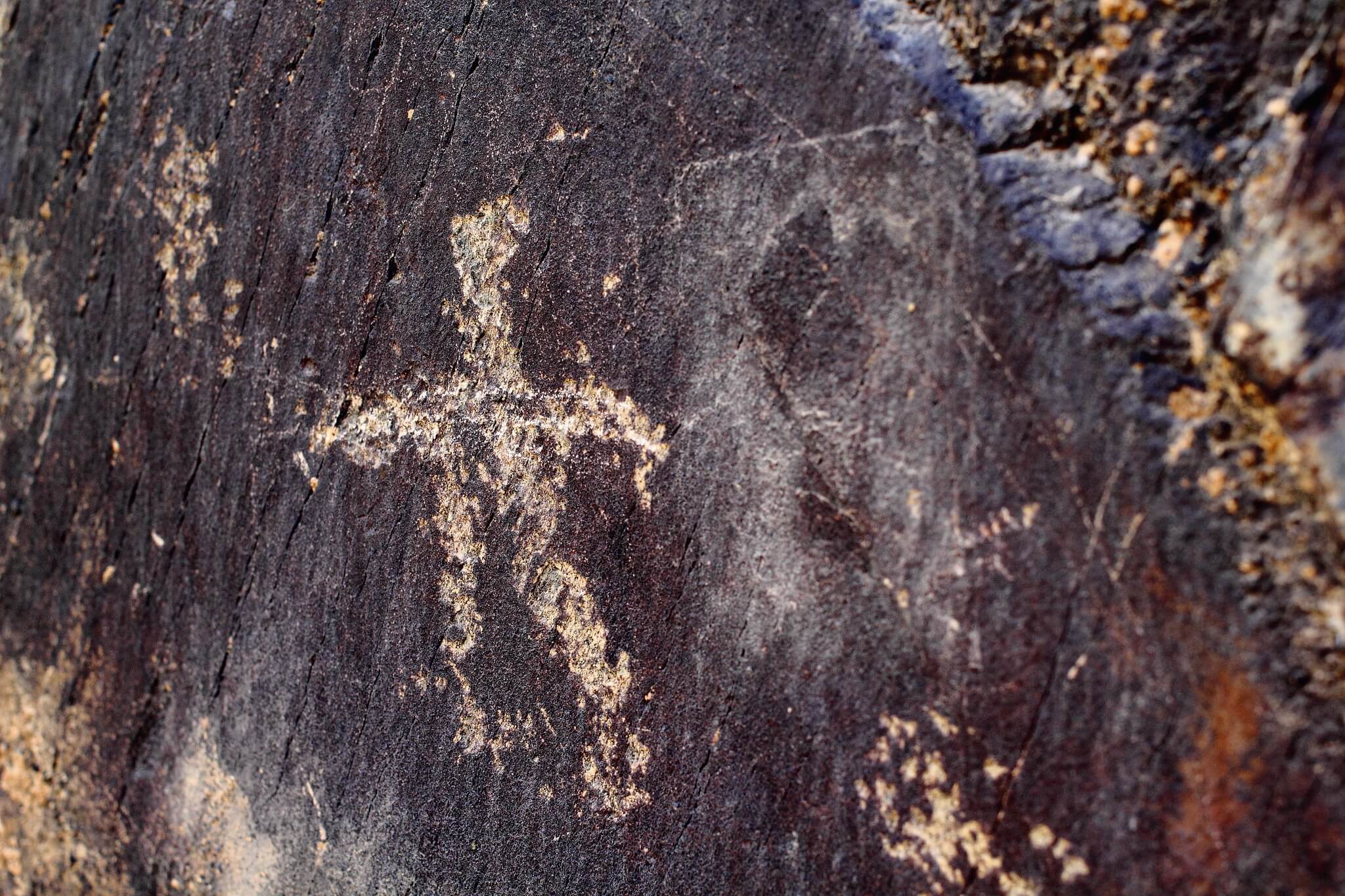
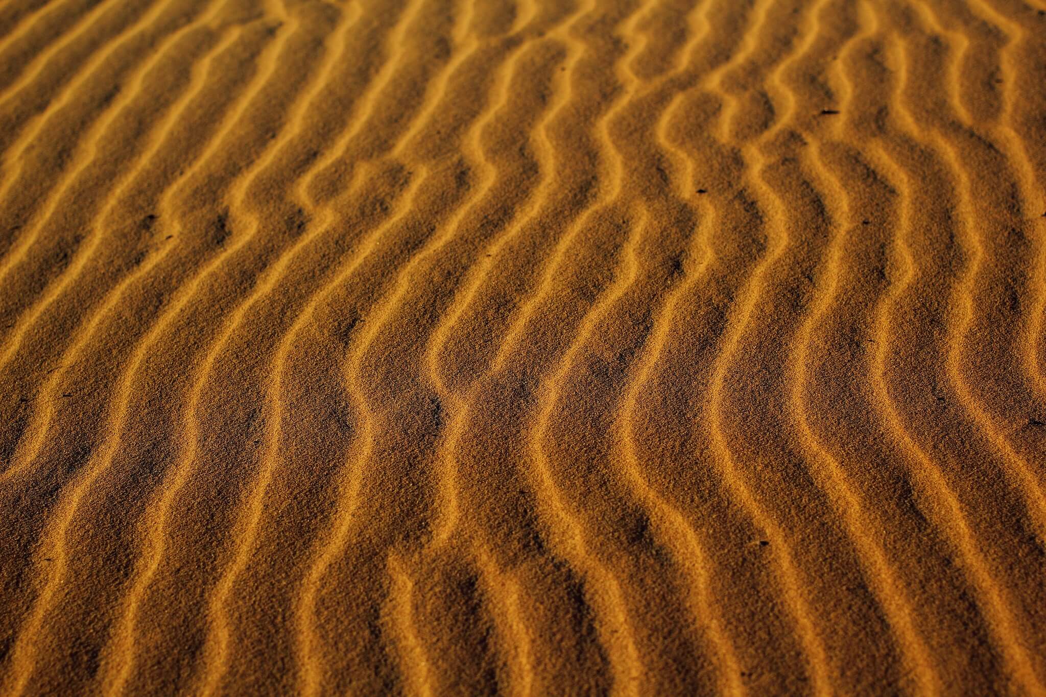
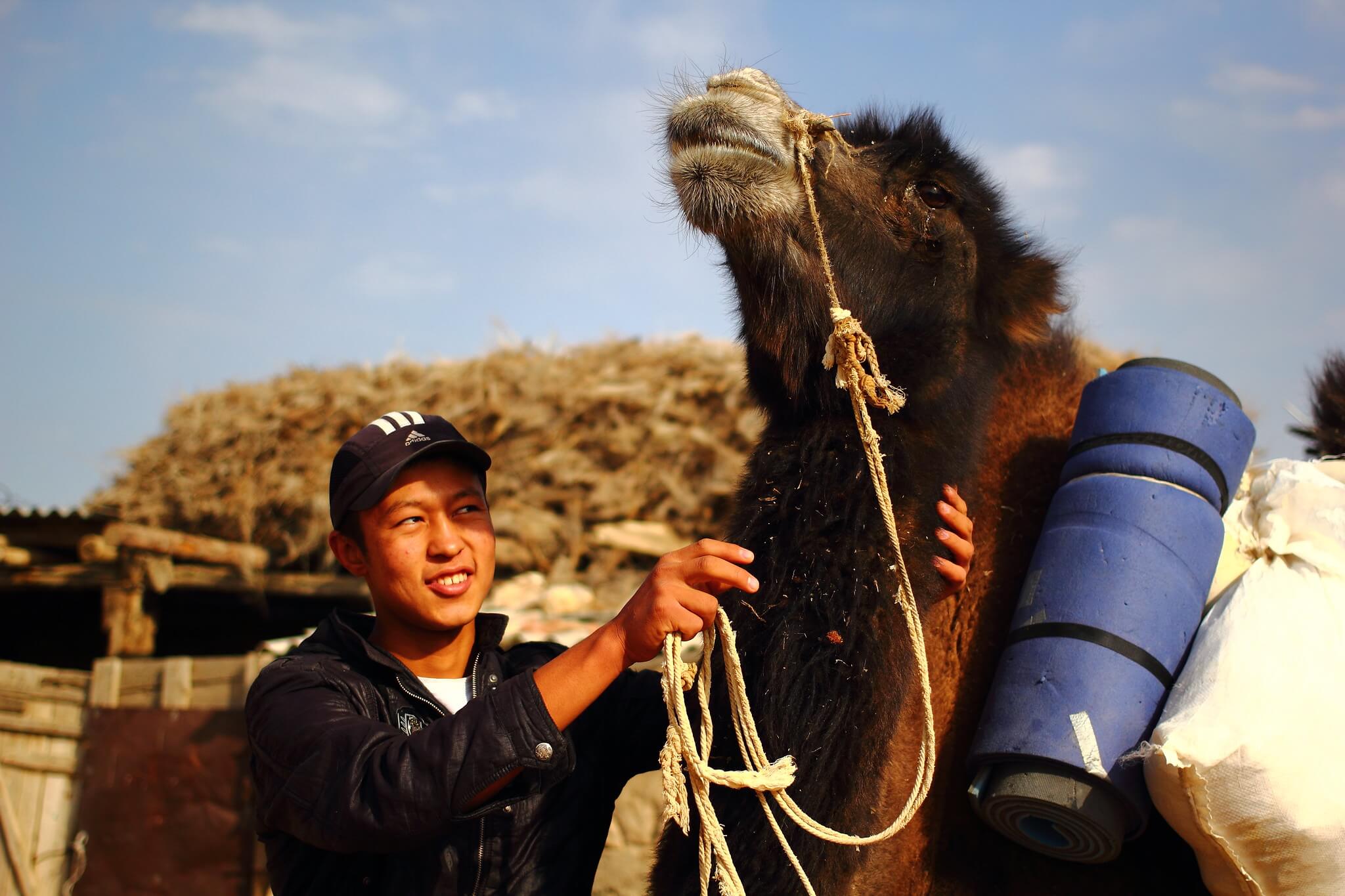
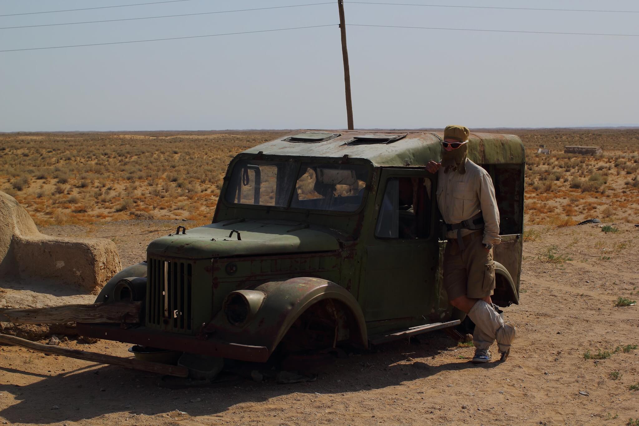
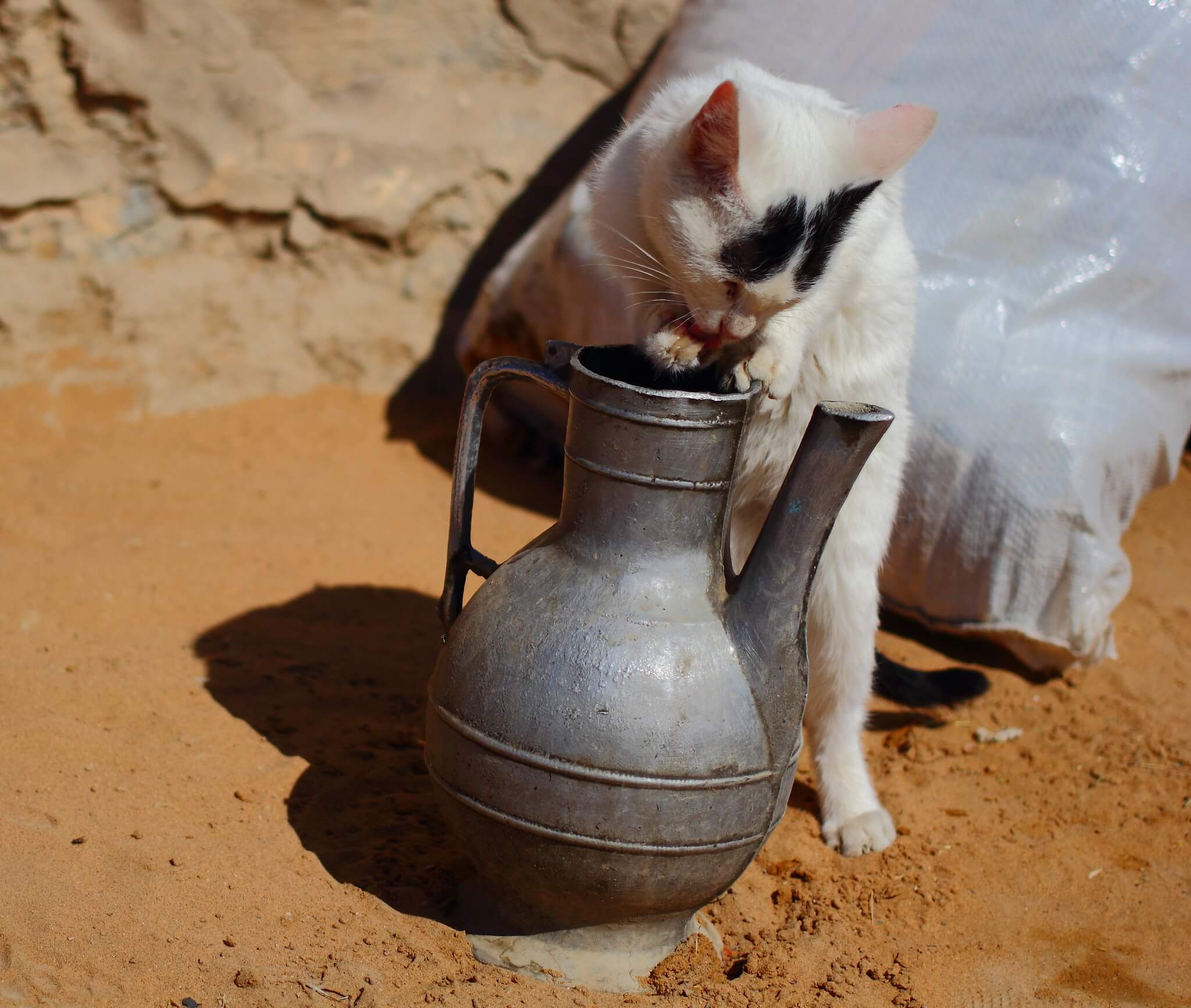
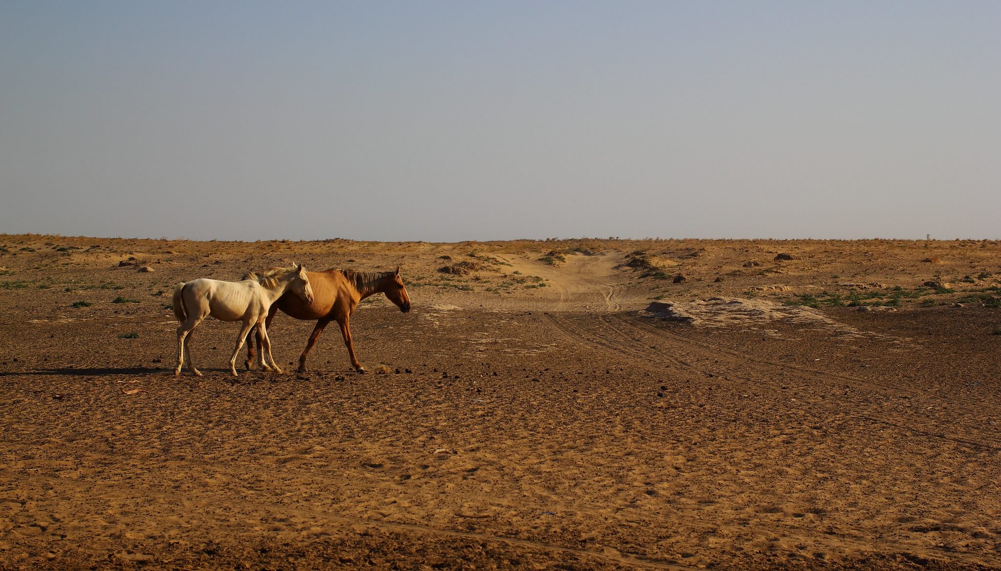
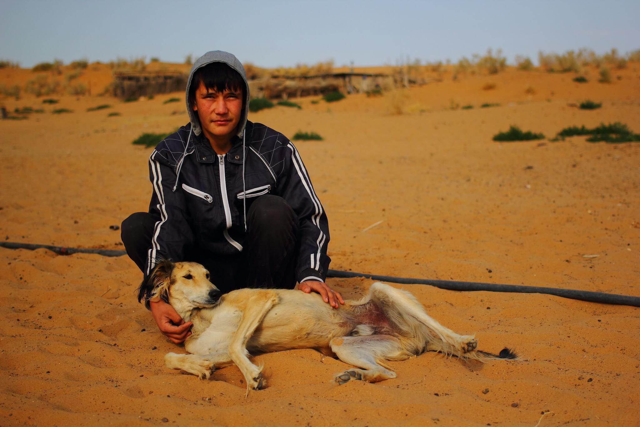
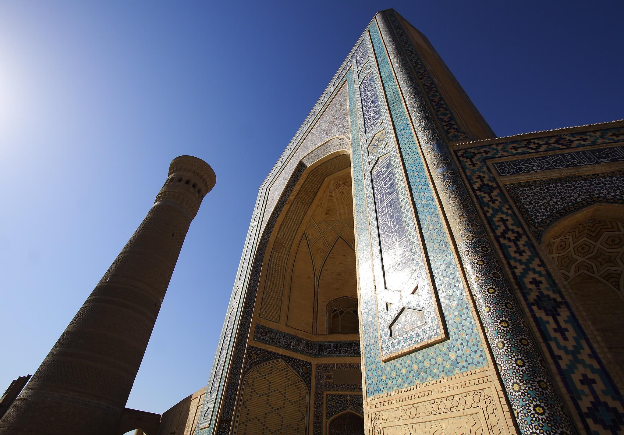
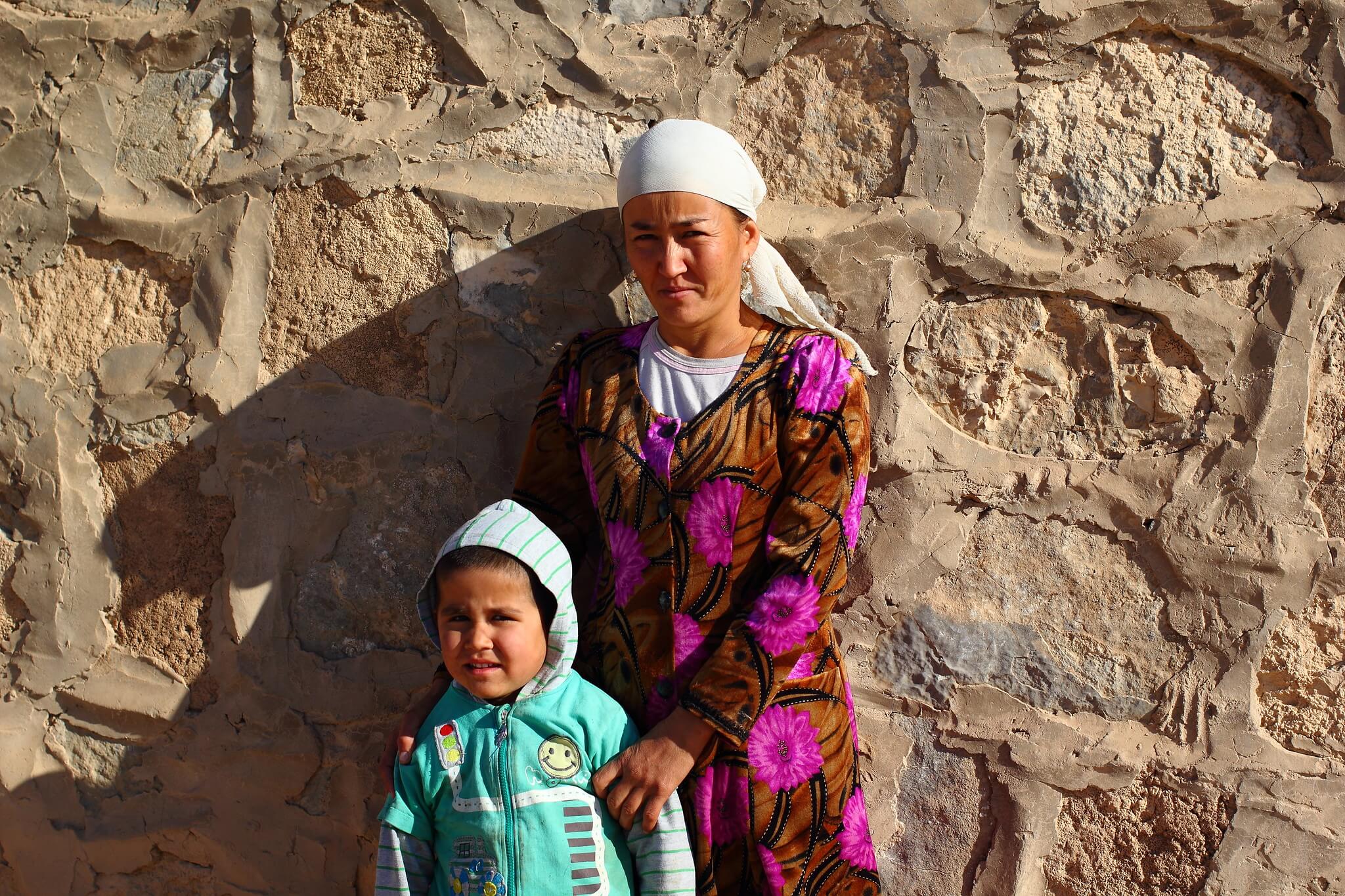
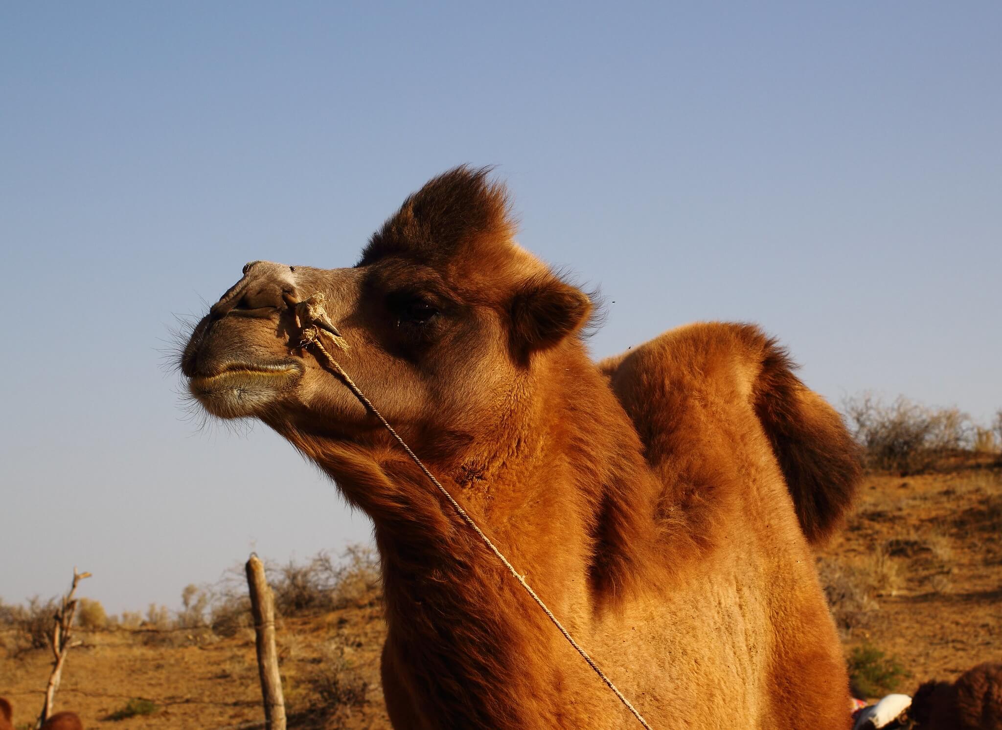
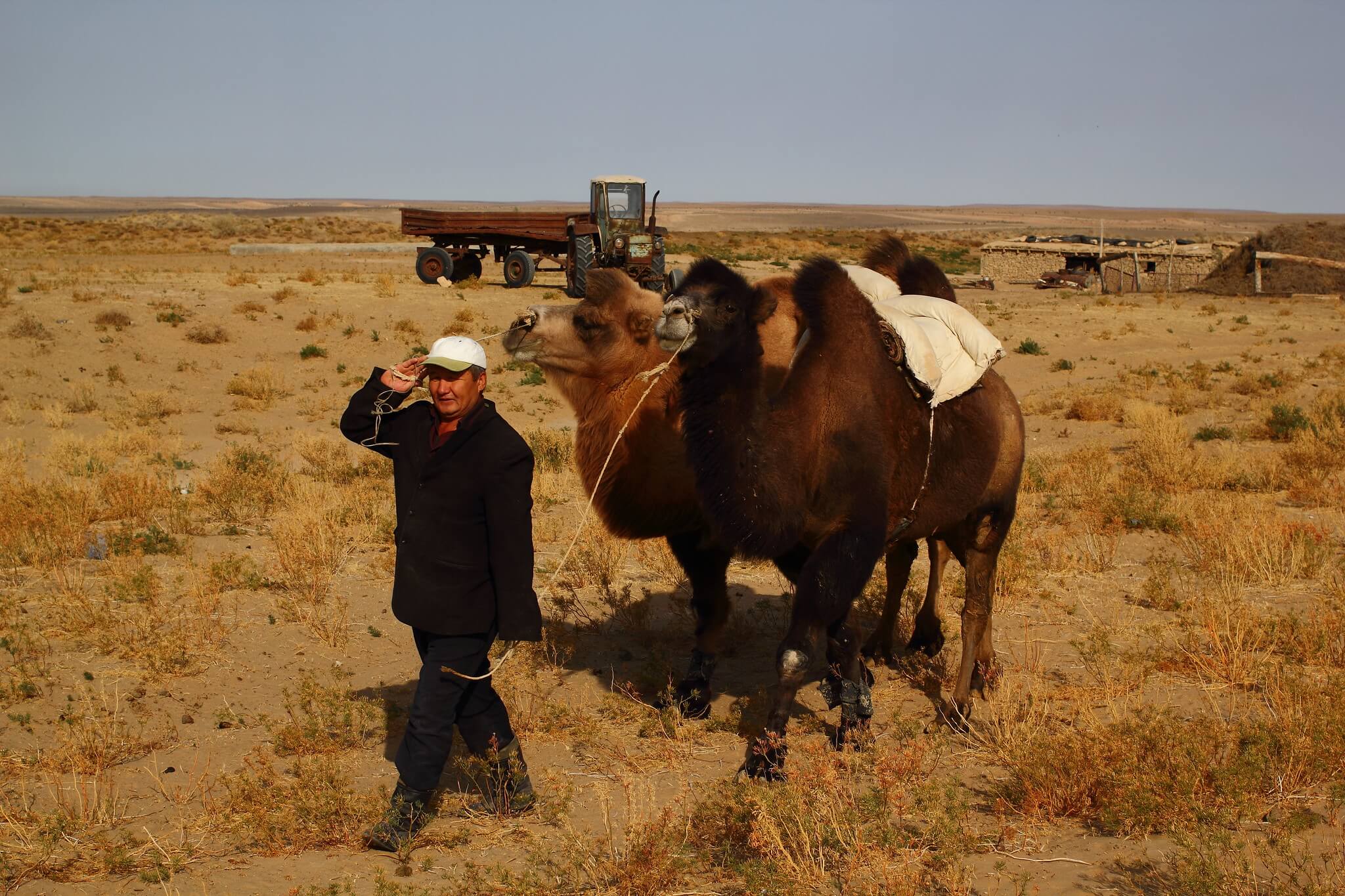
The Kyzyl Kum Desert, whose name means “red sand” in Turkic, is larger than the United Kingdom. Evidence of human settlement here dates back to around 2100 BCE, during the time of the Andronovo people. Today, semi-nomadic communities still inhabit parts of the desert, practising camel husbandry, while larger towns and cities have developed on its perimeter to support natural gas and mineral mining operations deep in the interior.
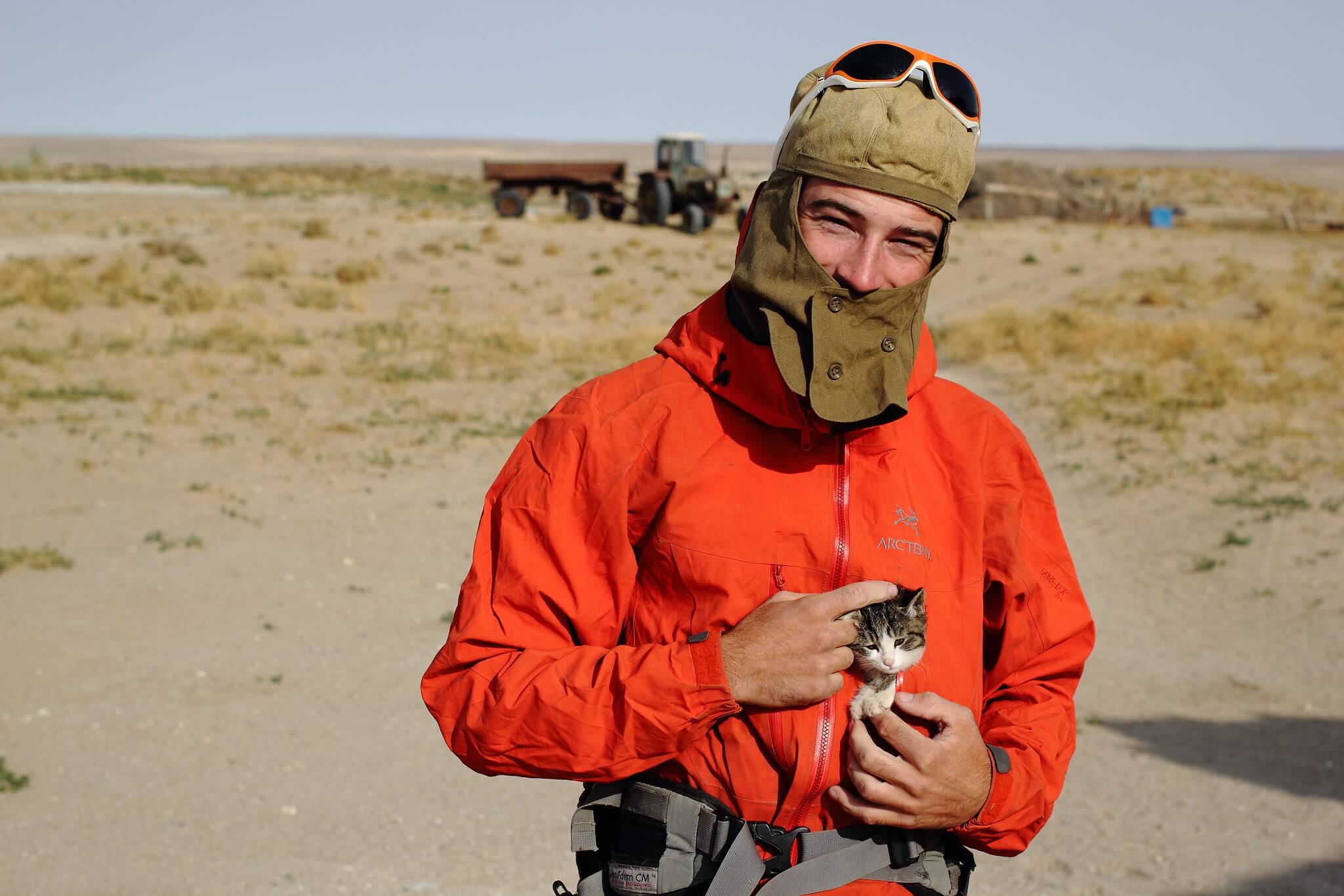
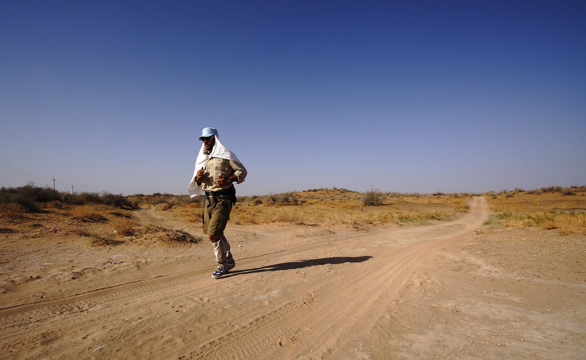
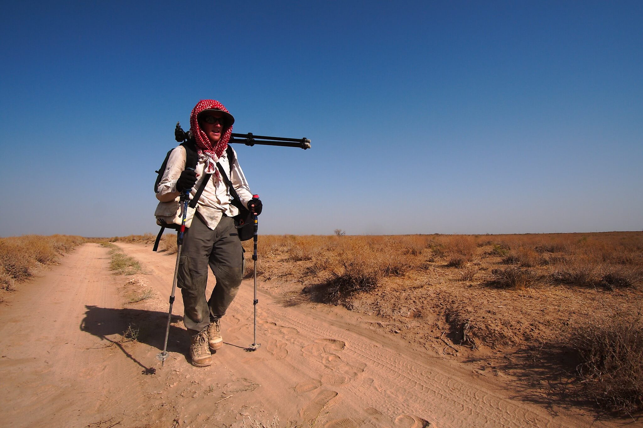
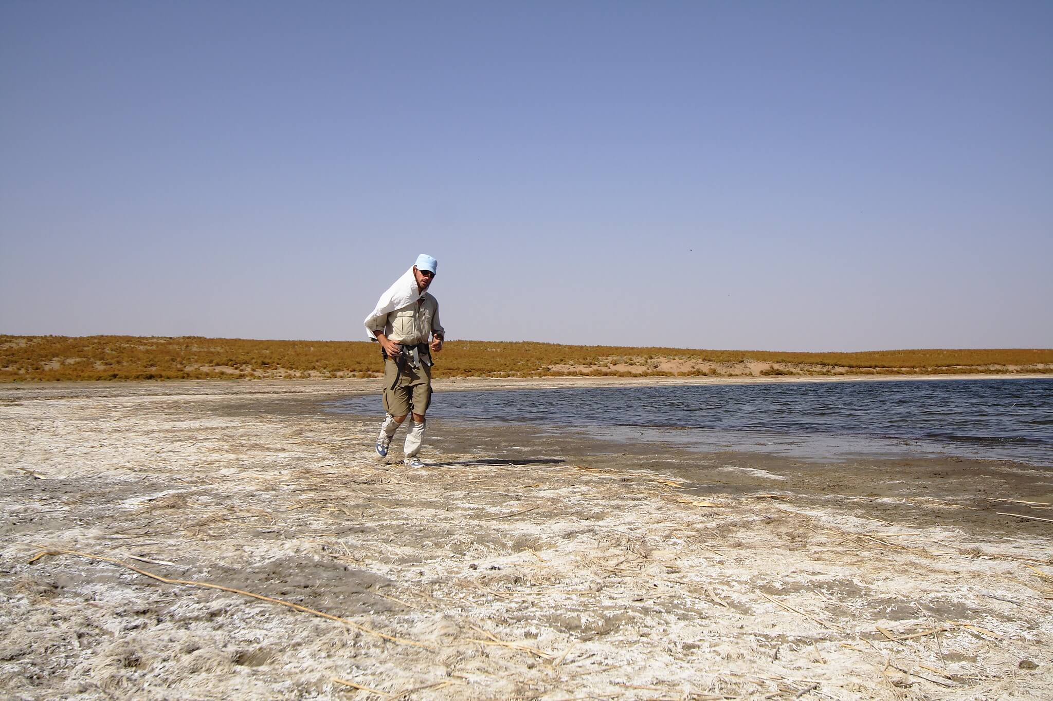
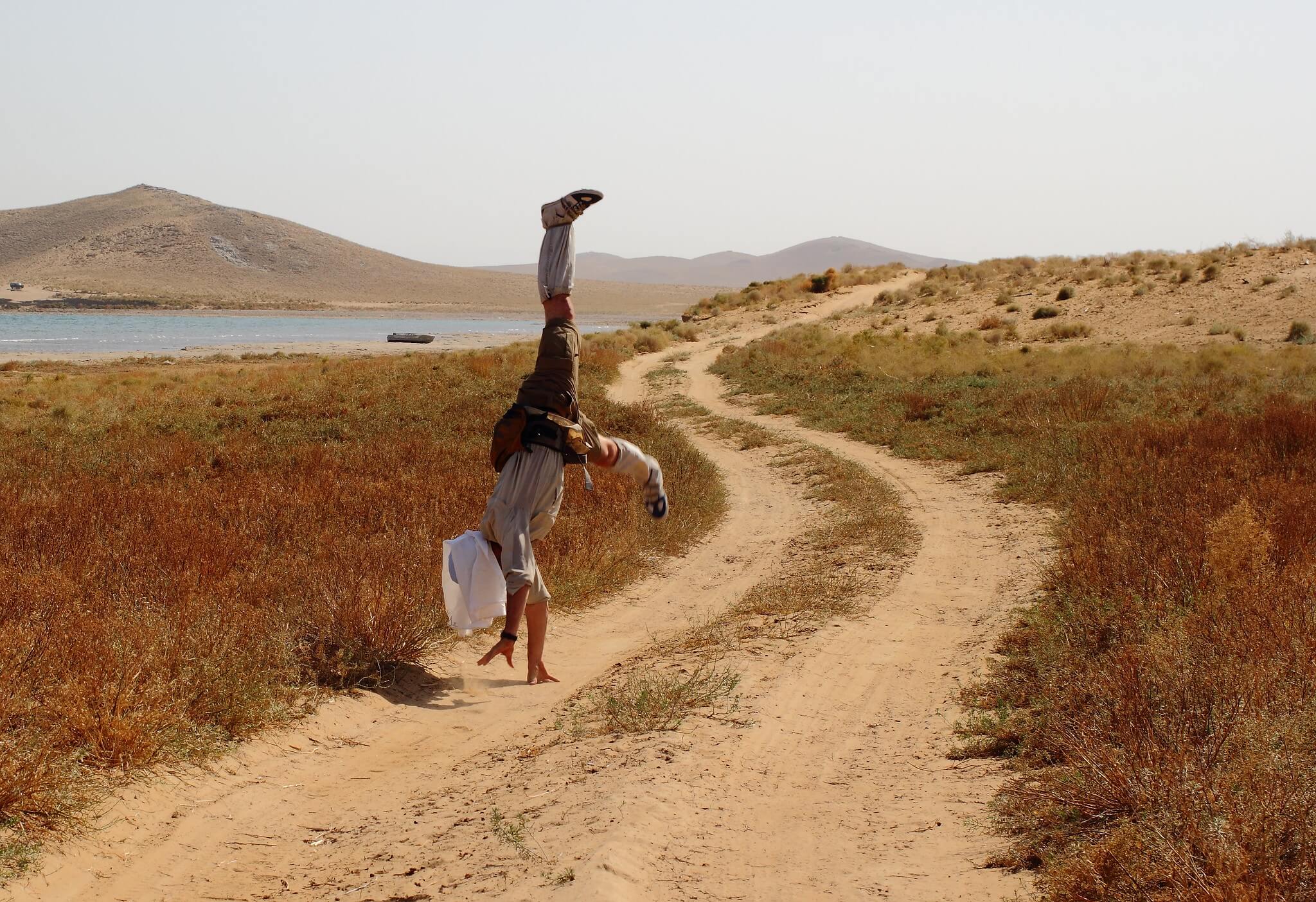
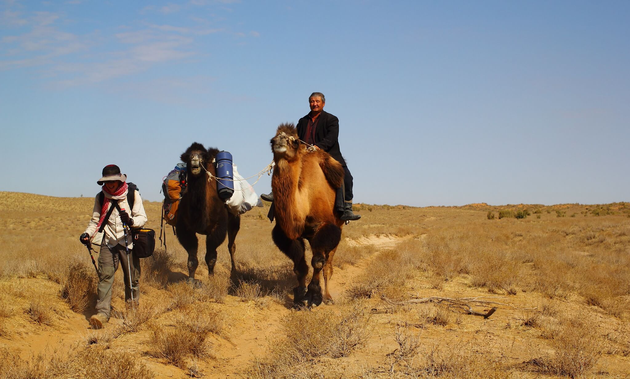
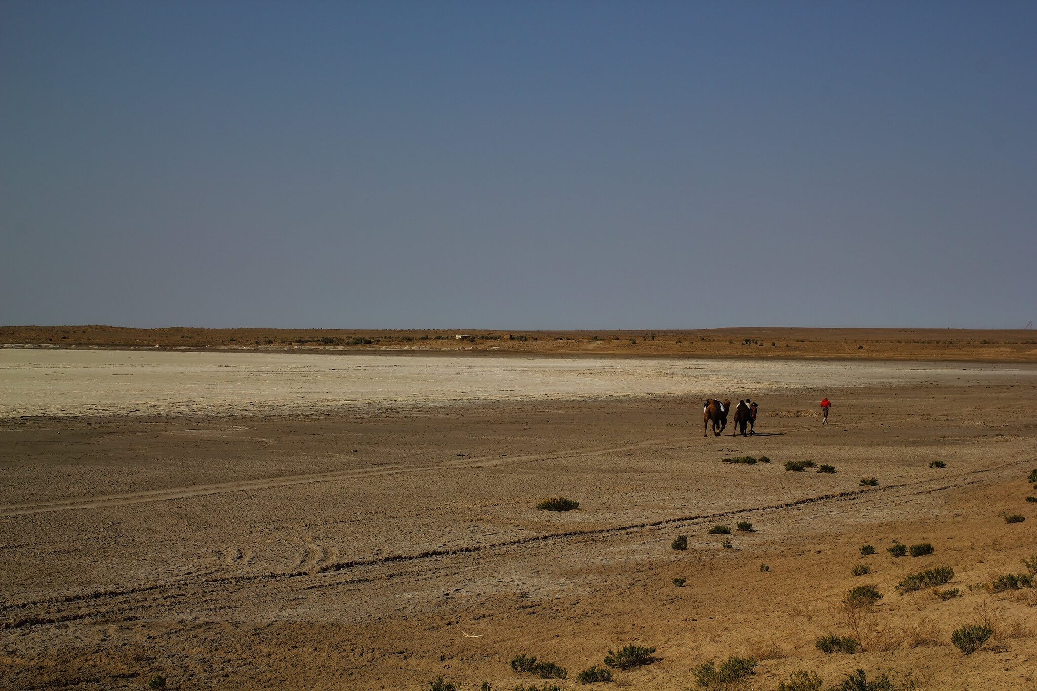
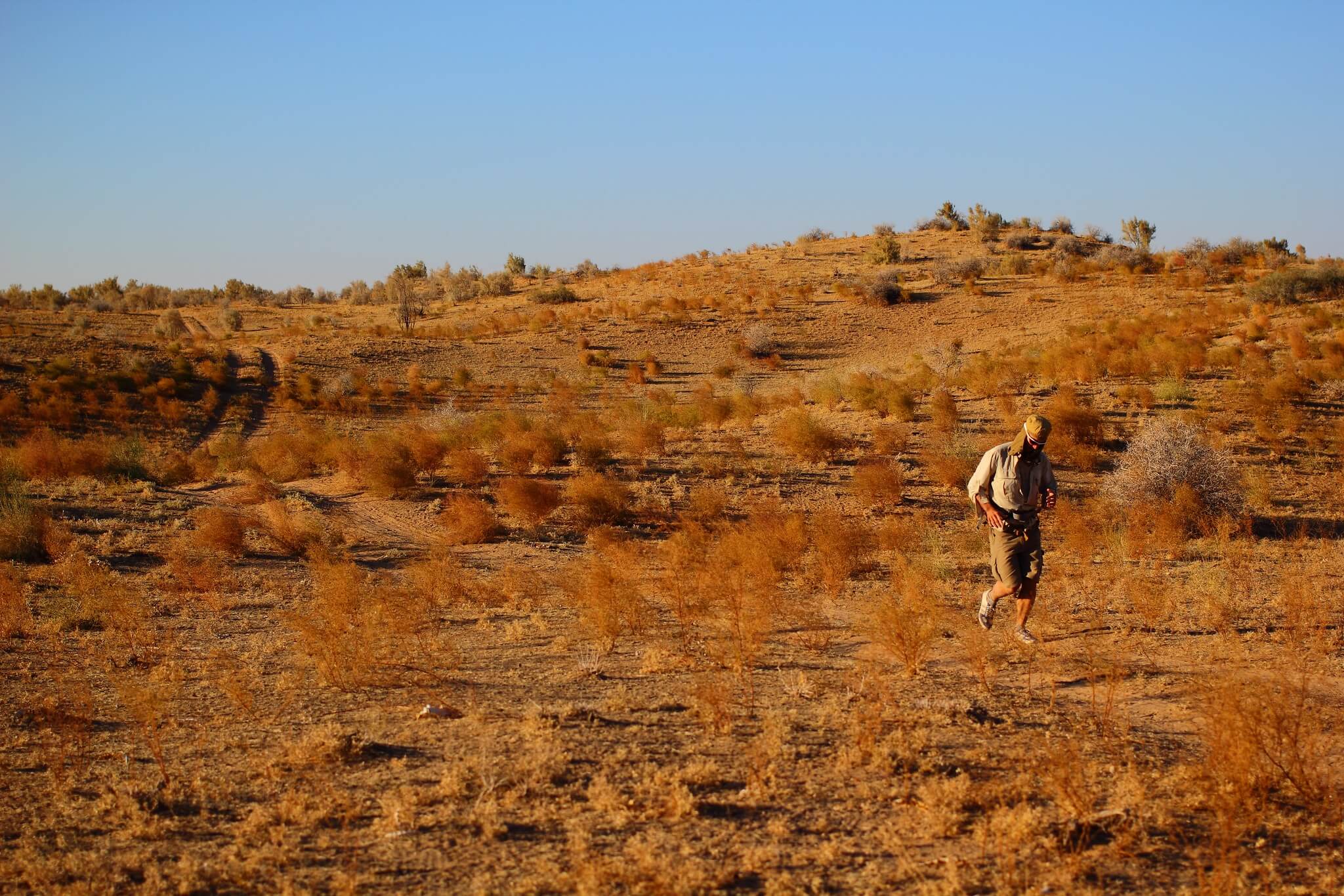
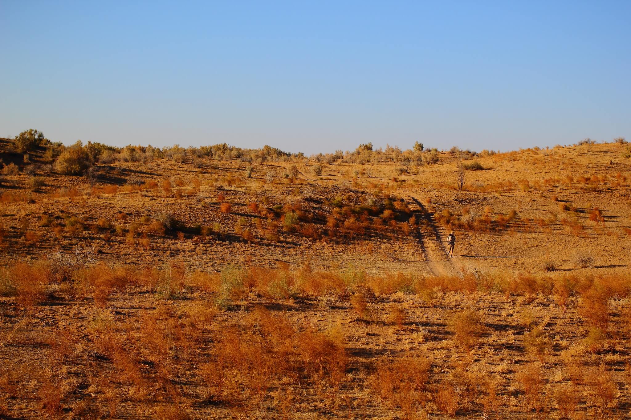
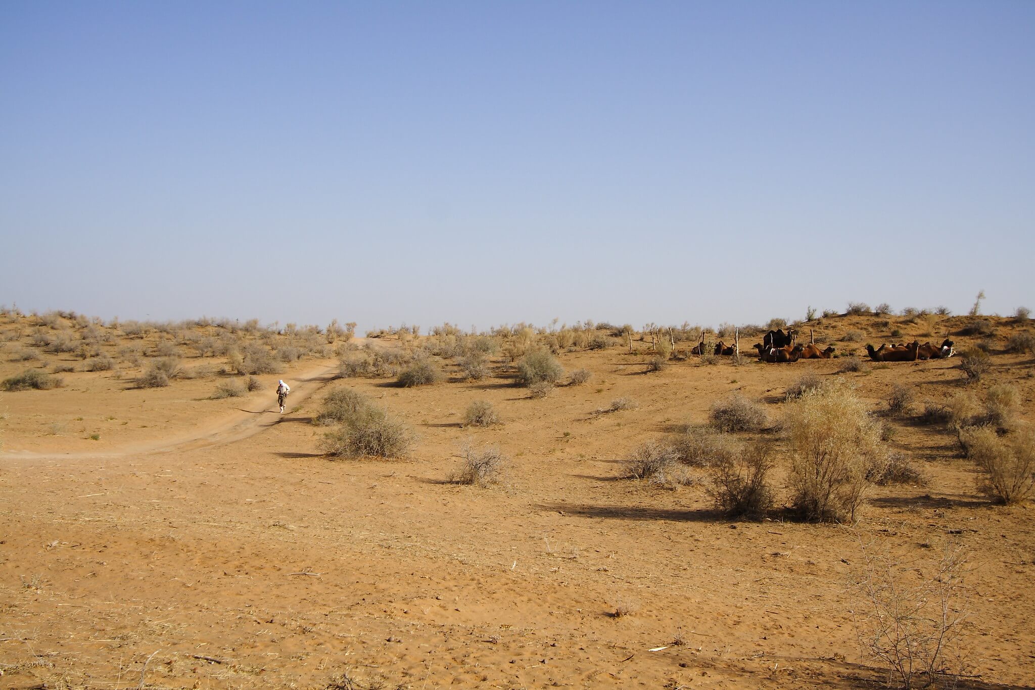
This gallery documents a 160km camel-supported journey — and run by Jamie Maddison — across the desert, offering a glimpse into its vast, remote landscapes.
Part of the route skirted along the edge of Lake Aydar, near the Kazakh border, one of the largest human-made lakes in the world. Originally a dry saline depression, it was flooded in 1969 when the Syr Darya river overflowed the Chardarya Reservoir, forcing Soviet engineers to divert water into the basin. For decades afterwards, a fishing industry thrived here, though it has declined significantly in the 21st century due to dwindling fish stocks.
For more perspectives on the Kyzyl Kum, explore the National Geographic piece by Paul Salopek and John Stanmeyer. In the 2010s, as part of his 33,000km walk tracing early human migration routes, Salopek crossed the desert with a pair of donkeys.
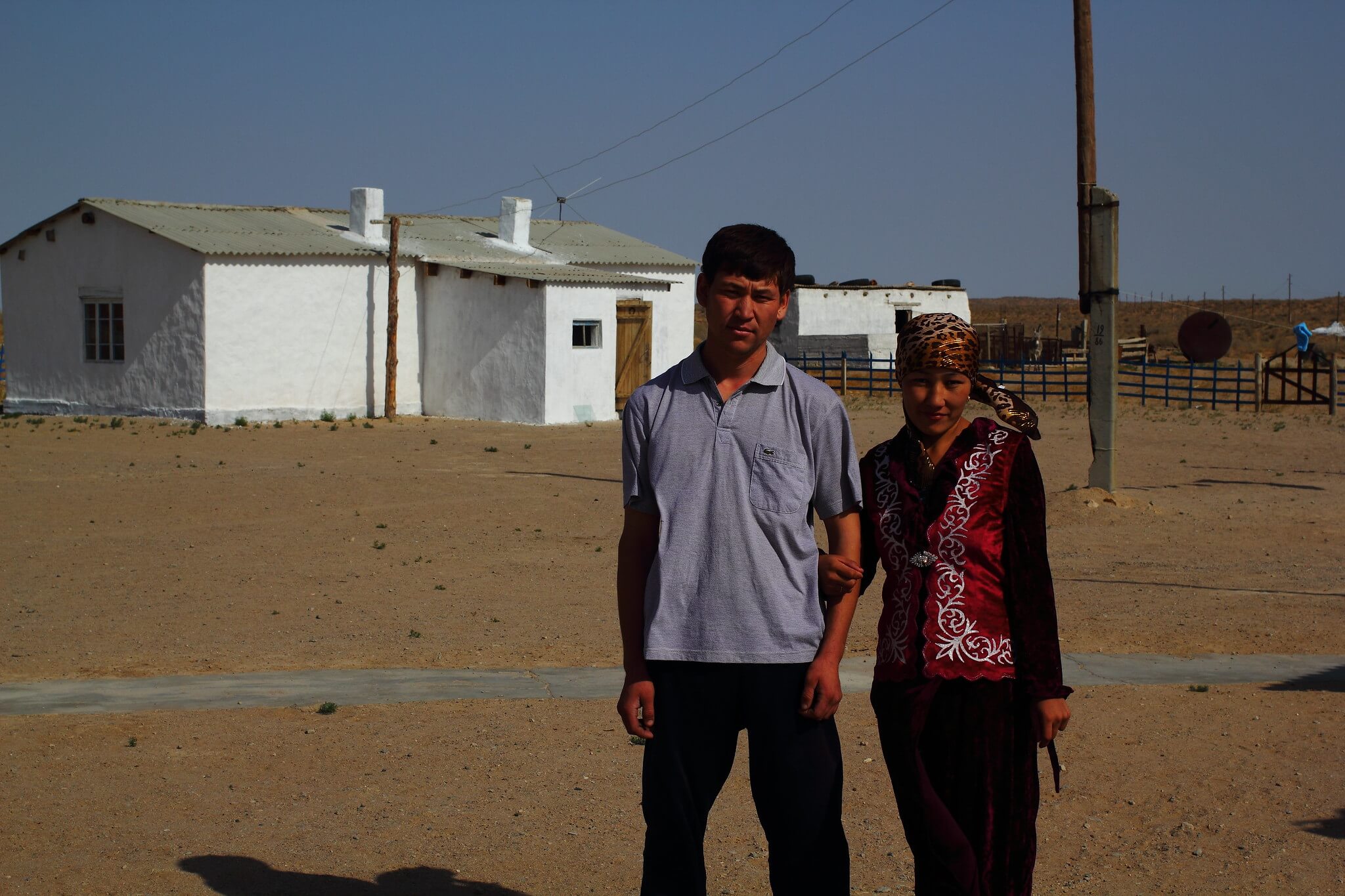
For travellers, the southern town of Nurata is a common starting point for camel treks and excursions into the desert. In the west, Nukus provides another gateway. Further north, Uchquduq, a Soviet-era gold and uranium mining town, remains active today.