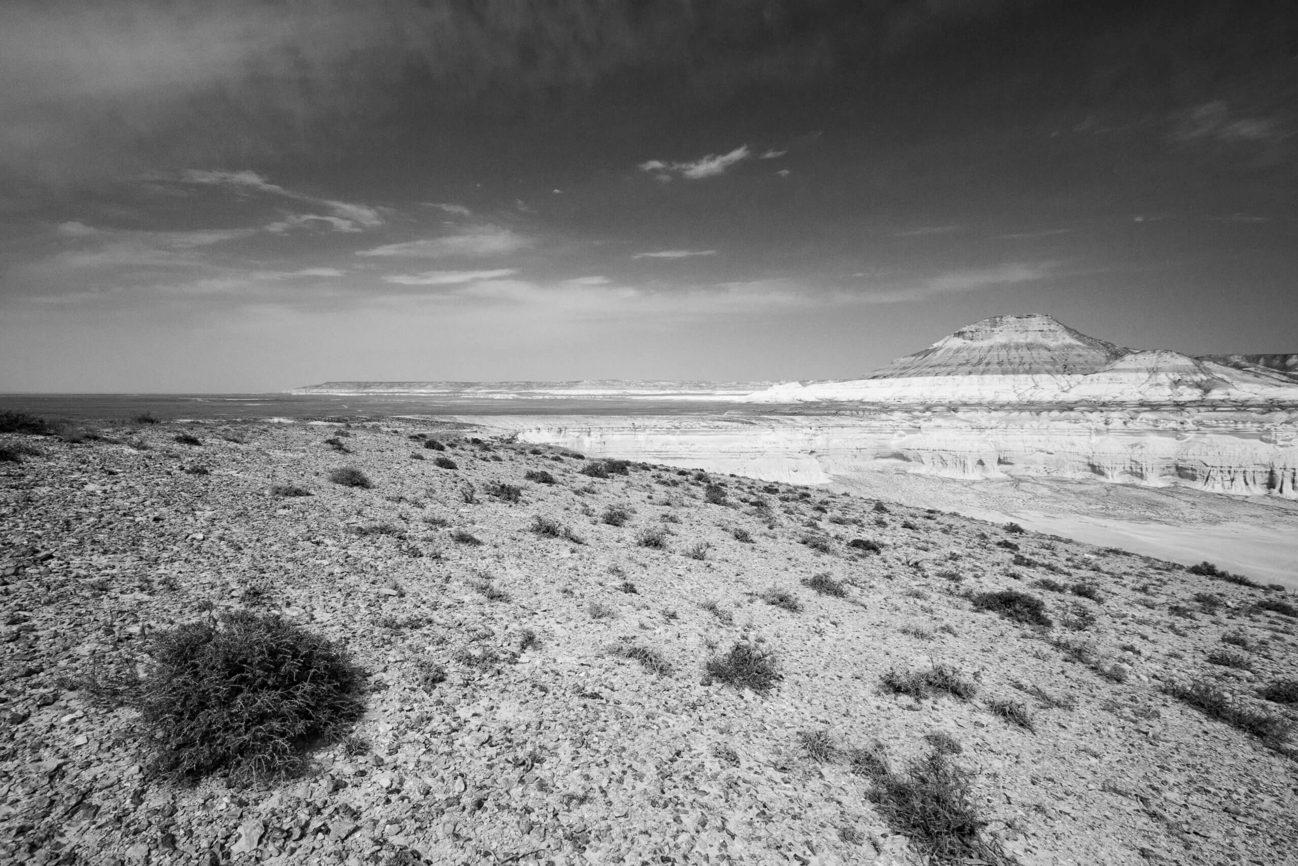
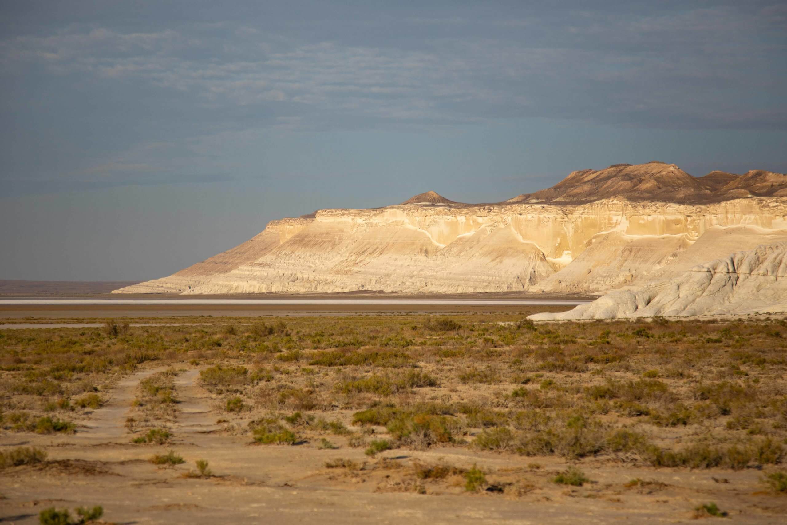
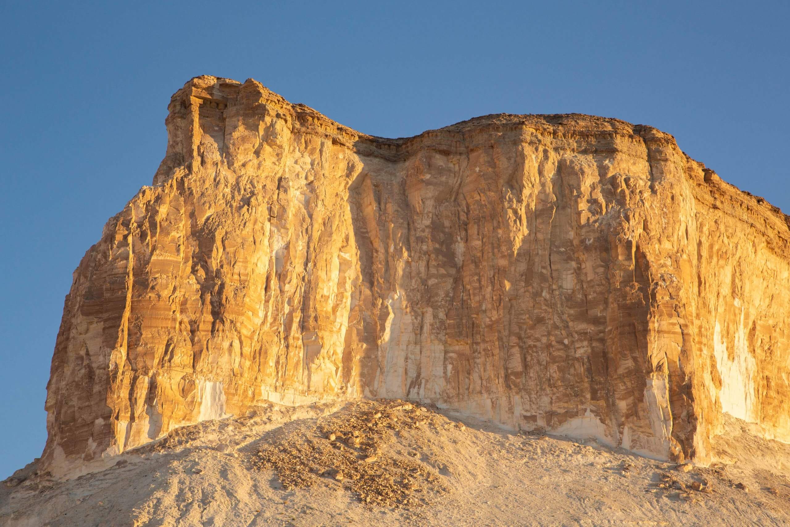
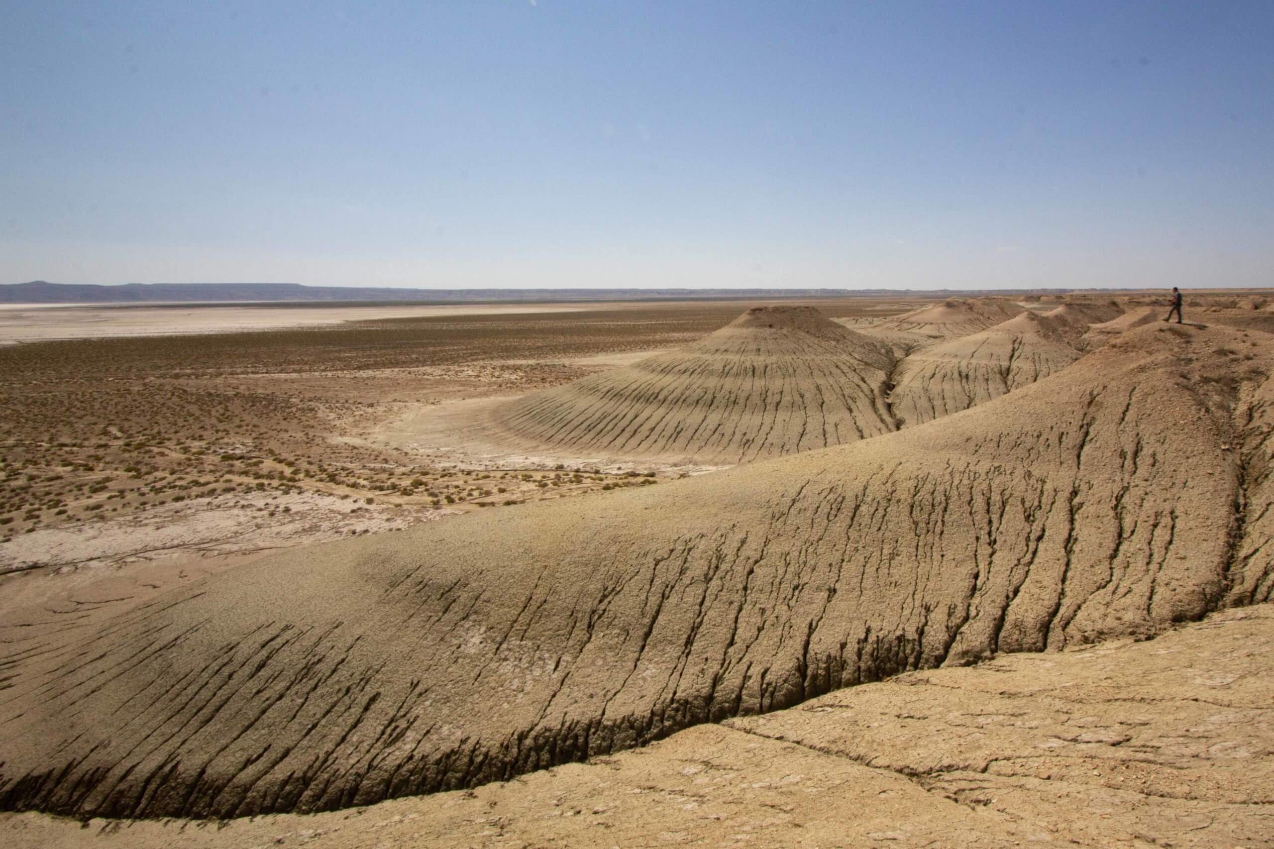
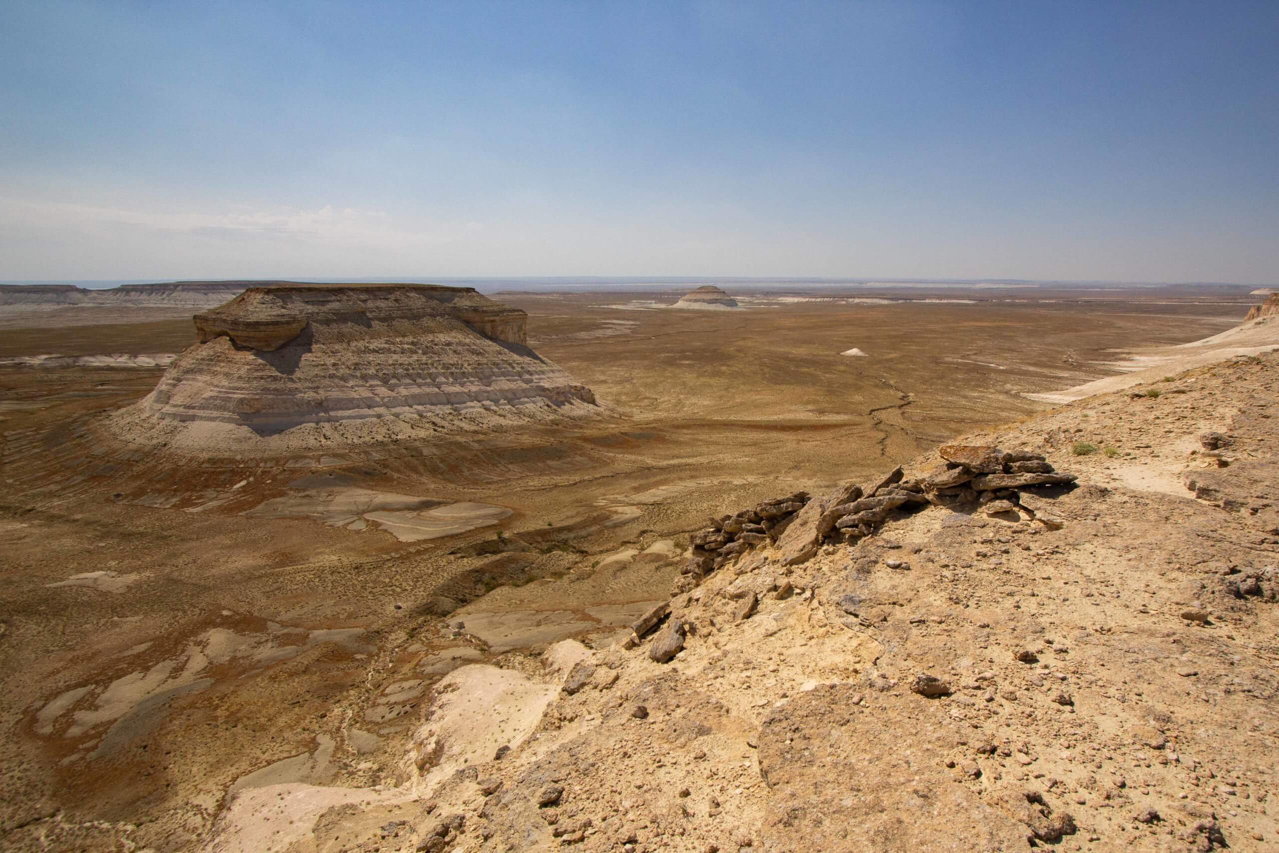
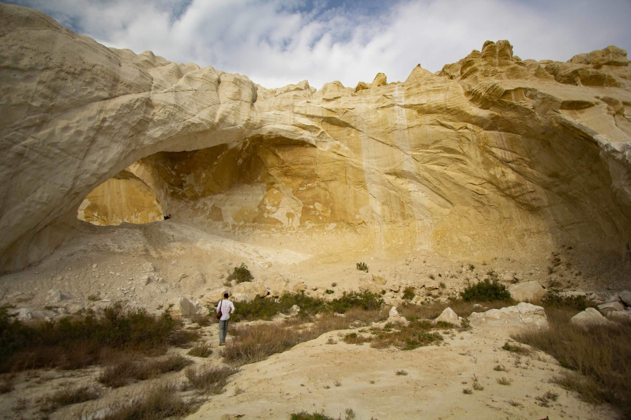
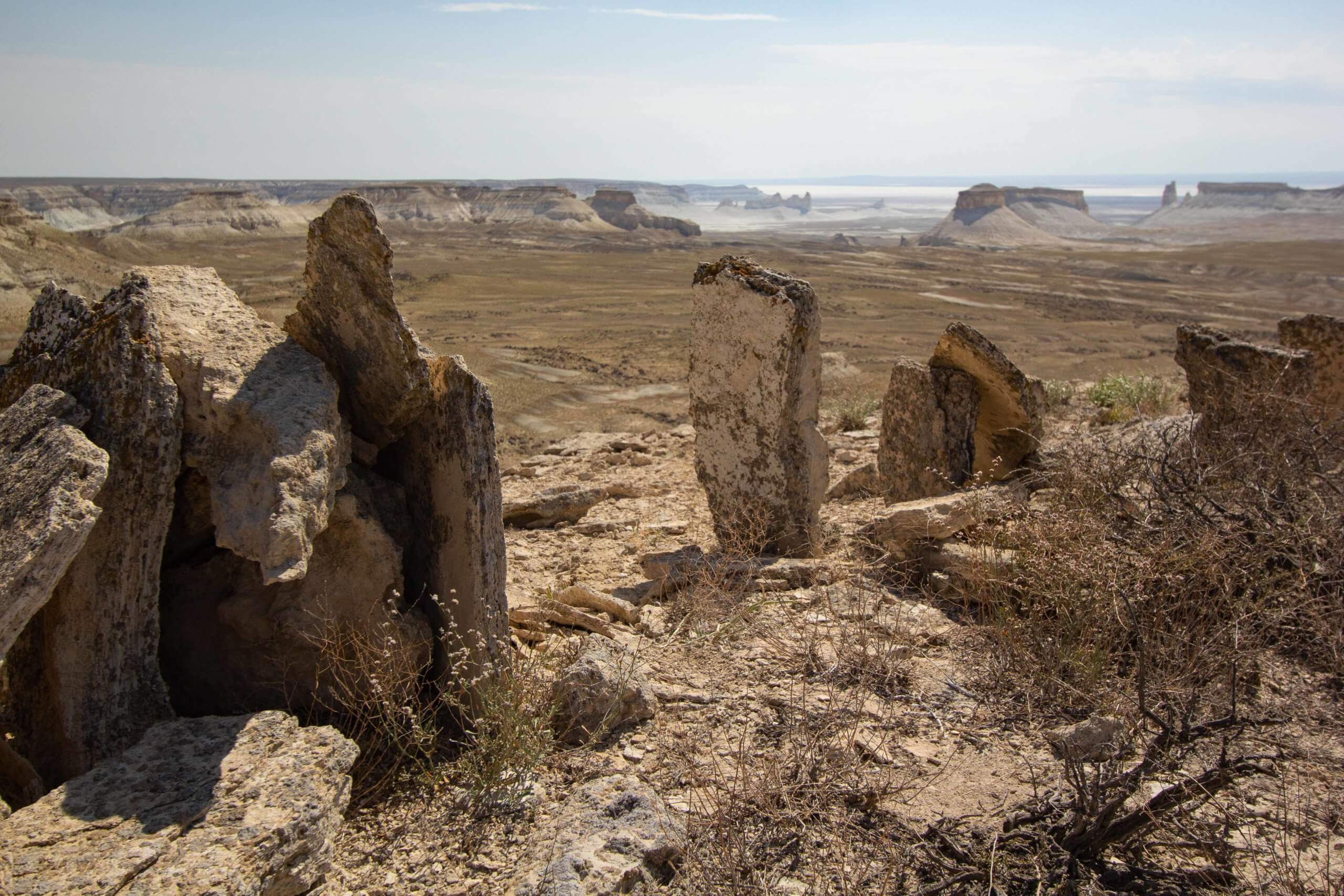
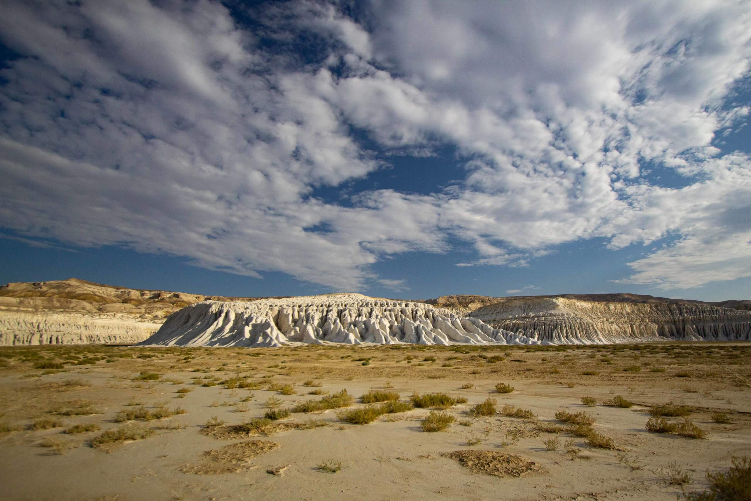
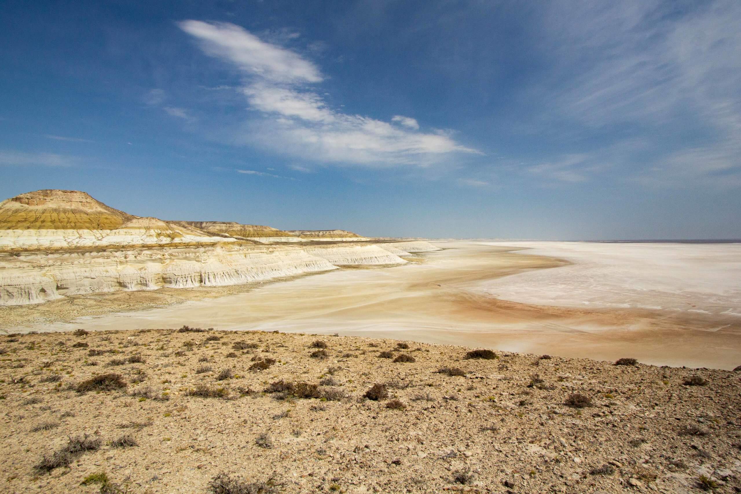
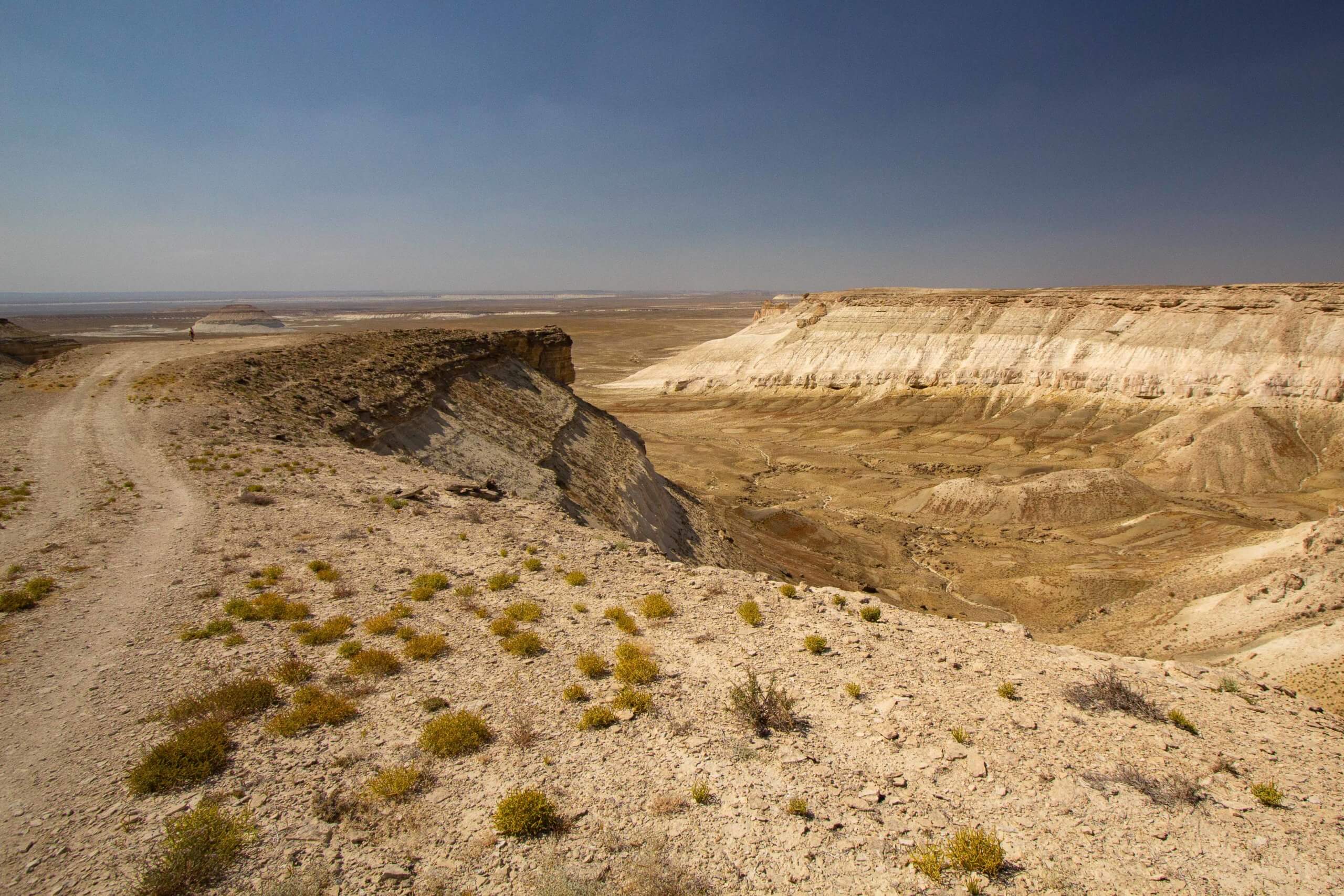
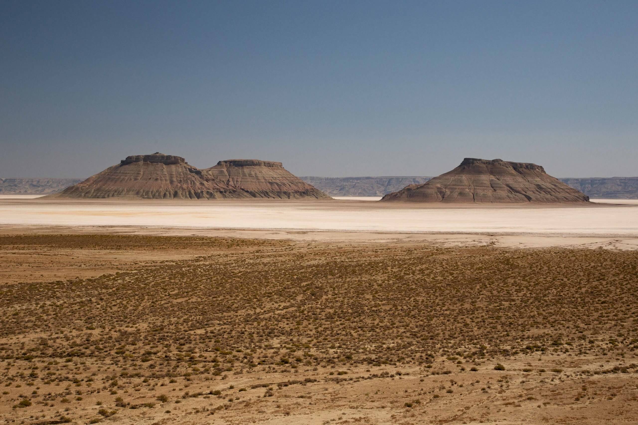
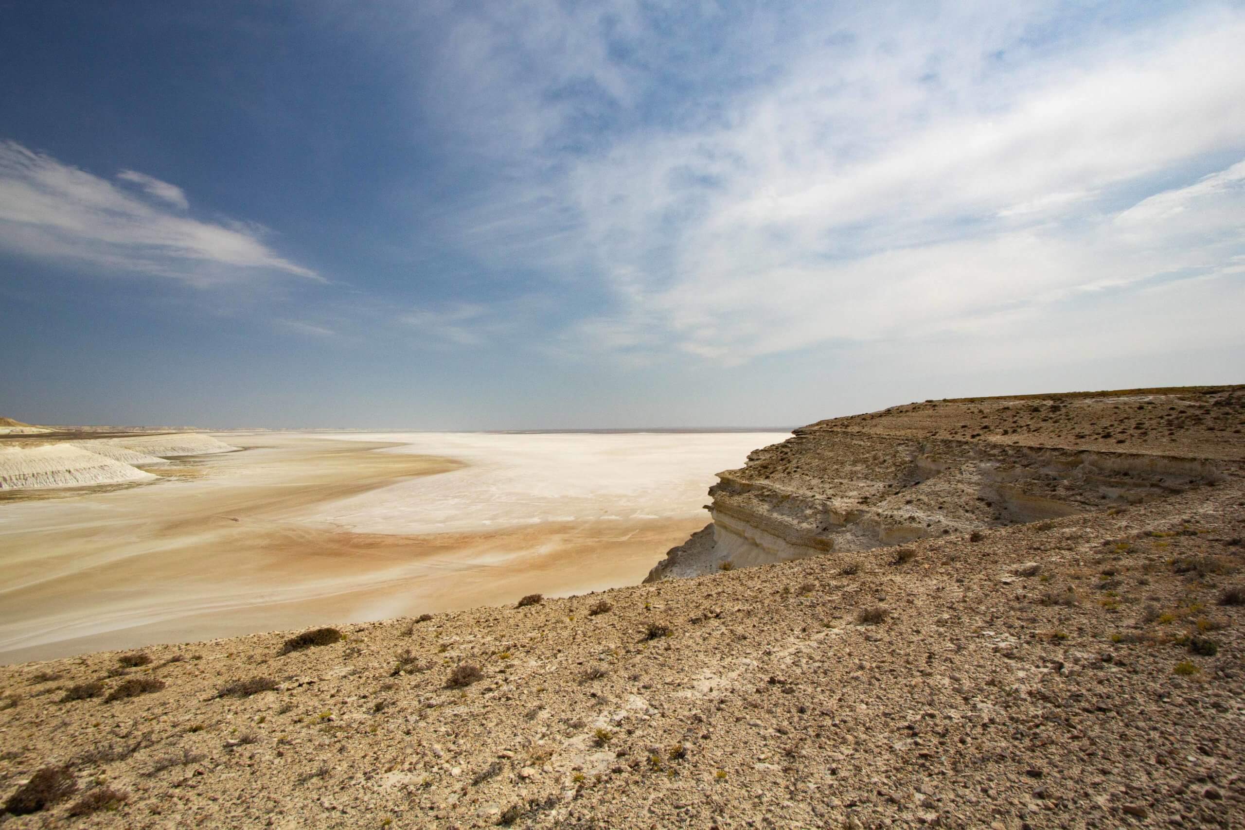
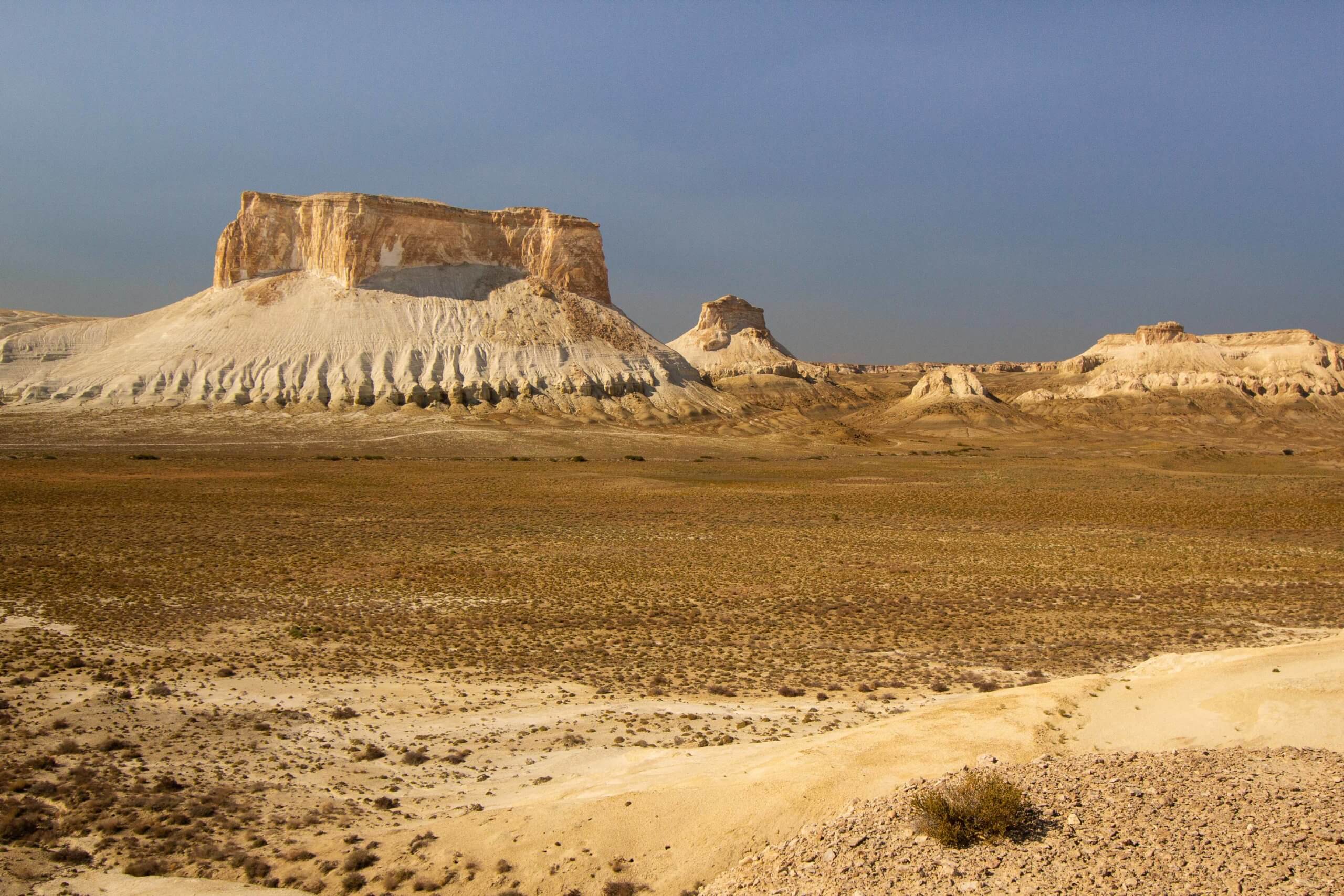
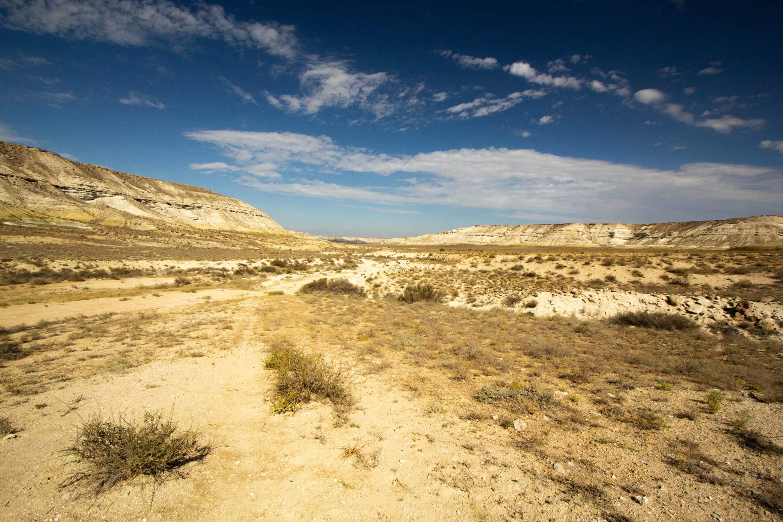
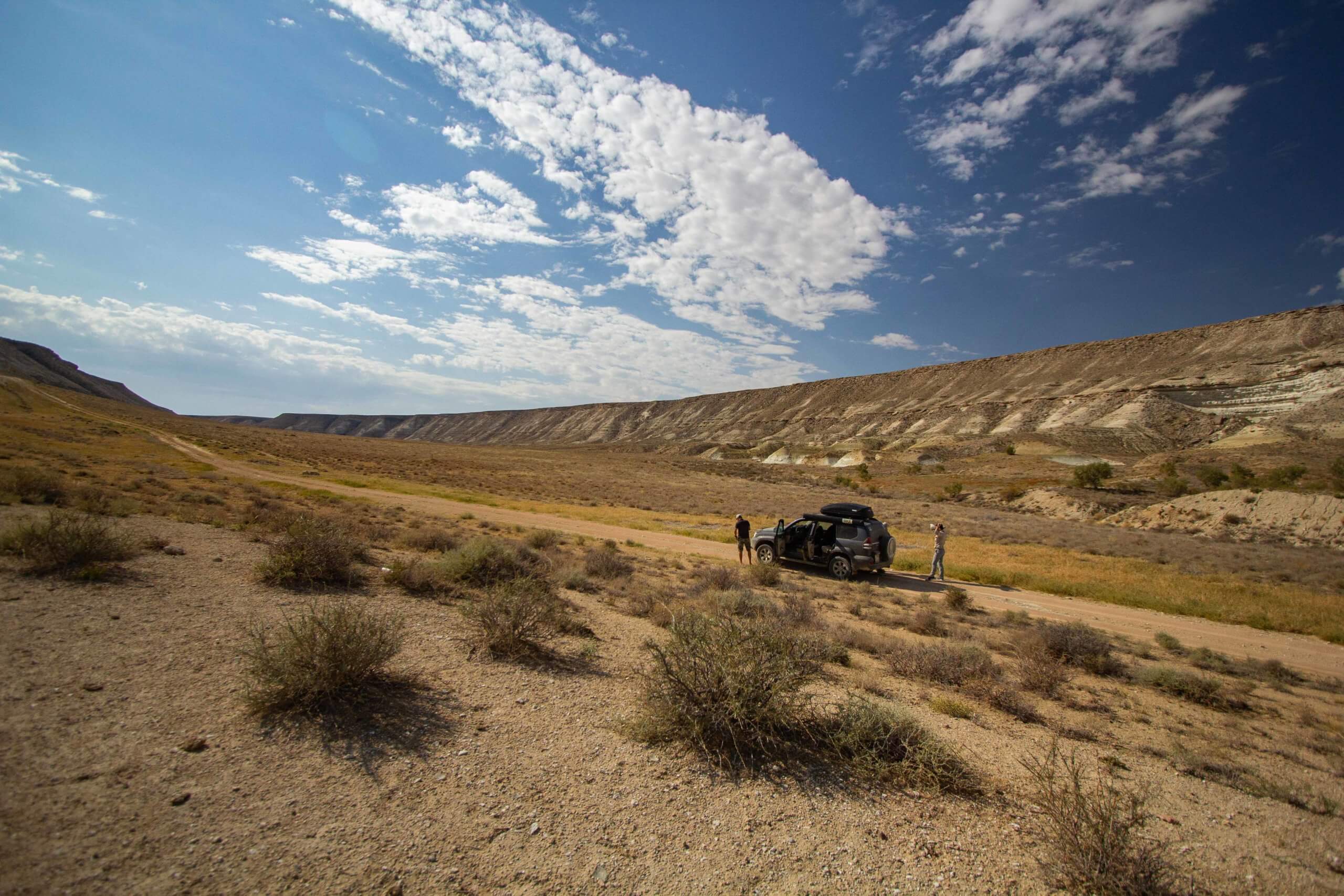
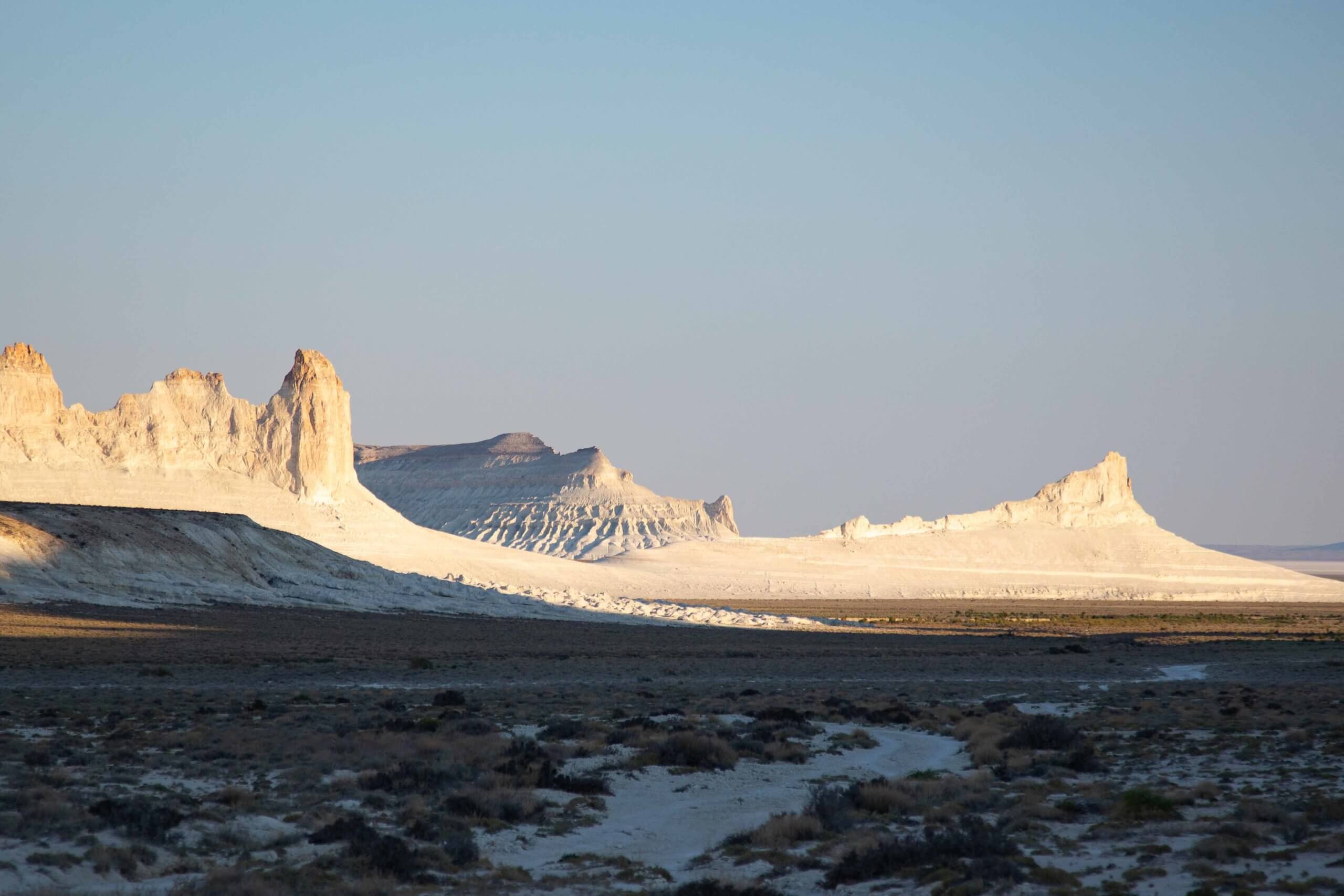
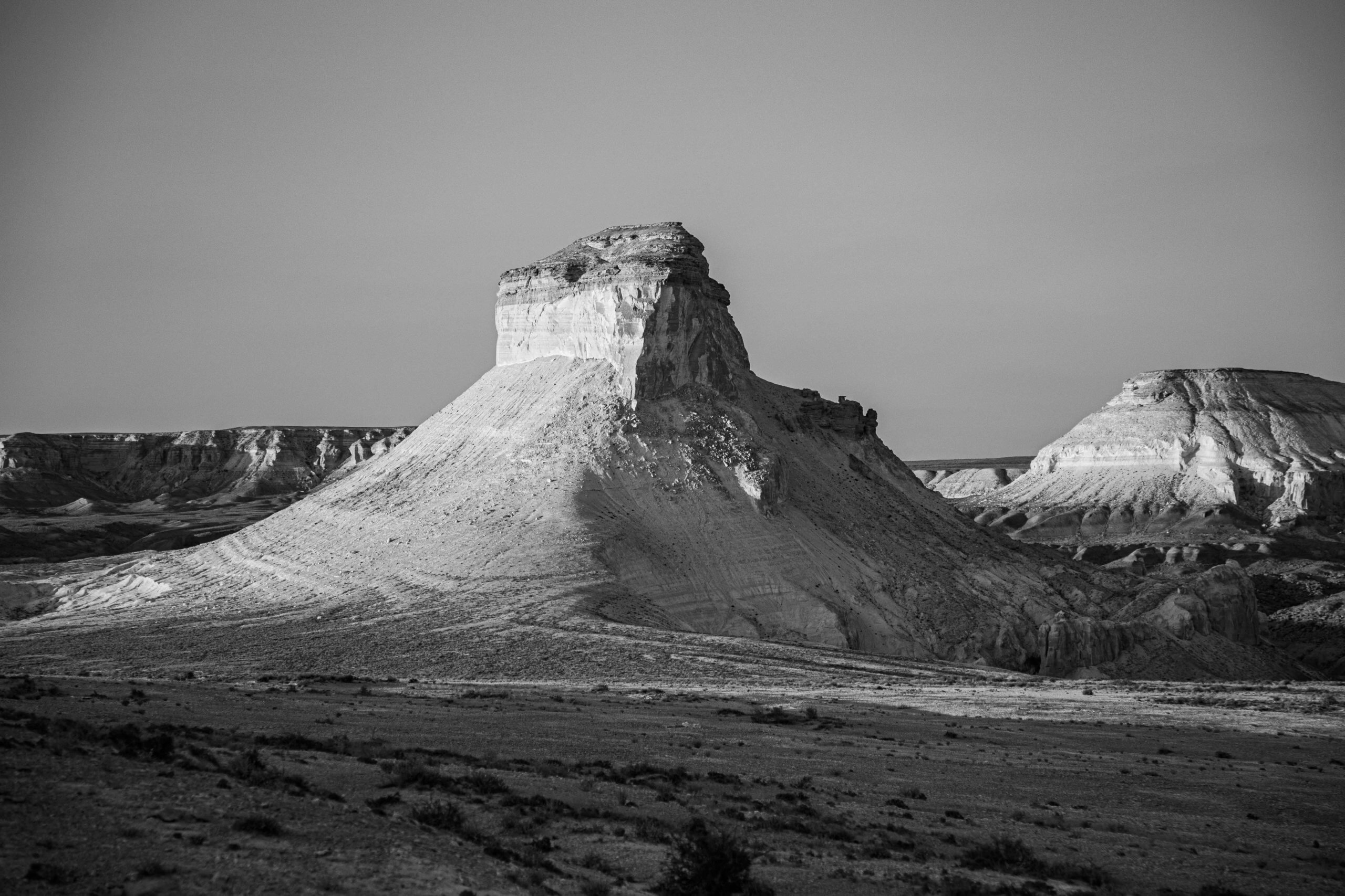
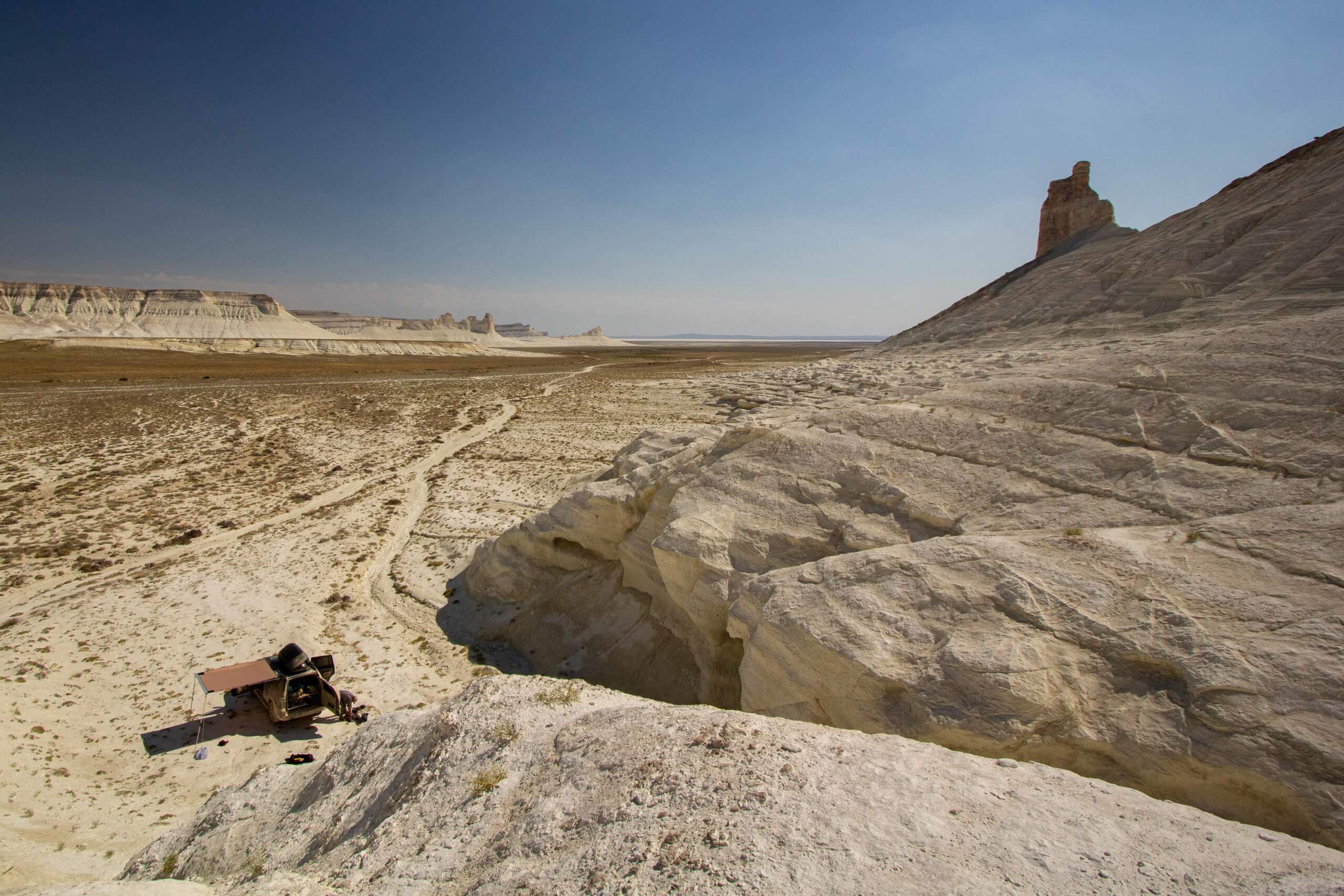
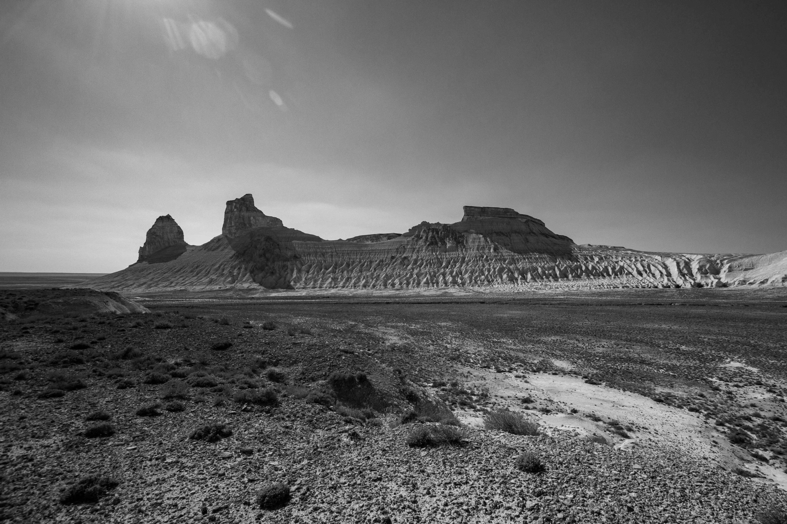
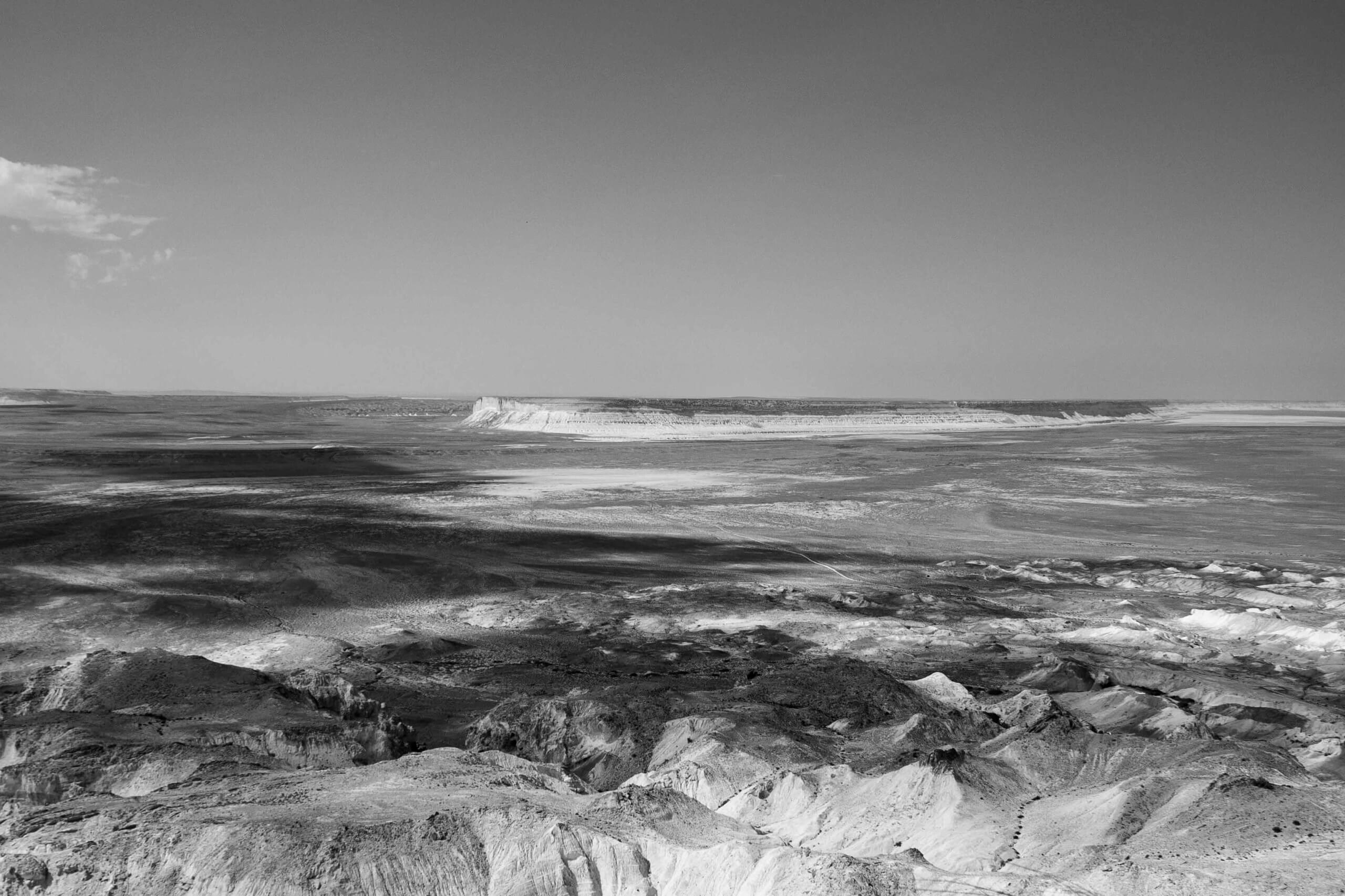
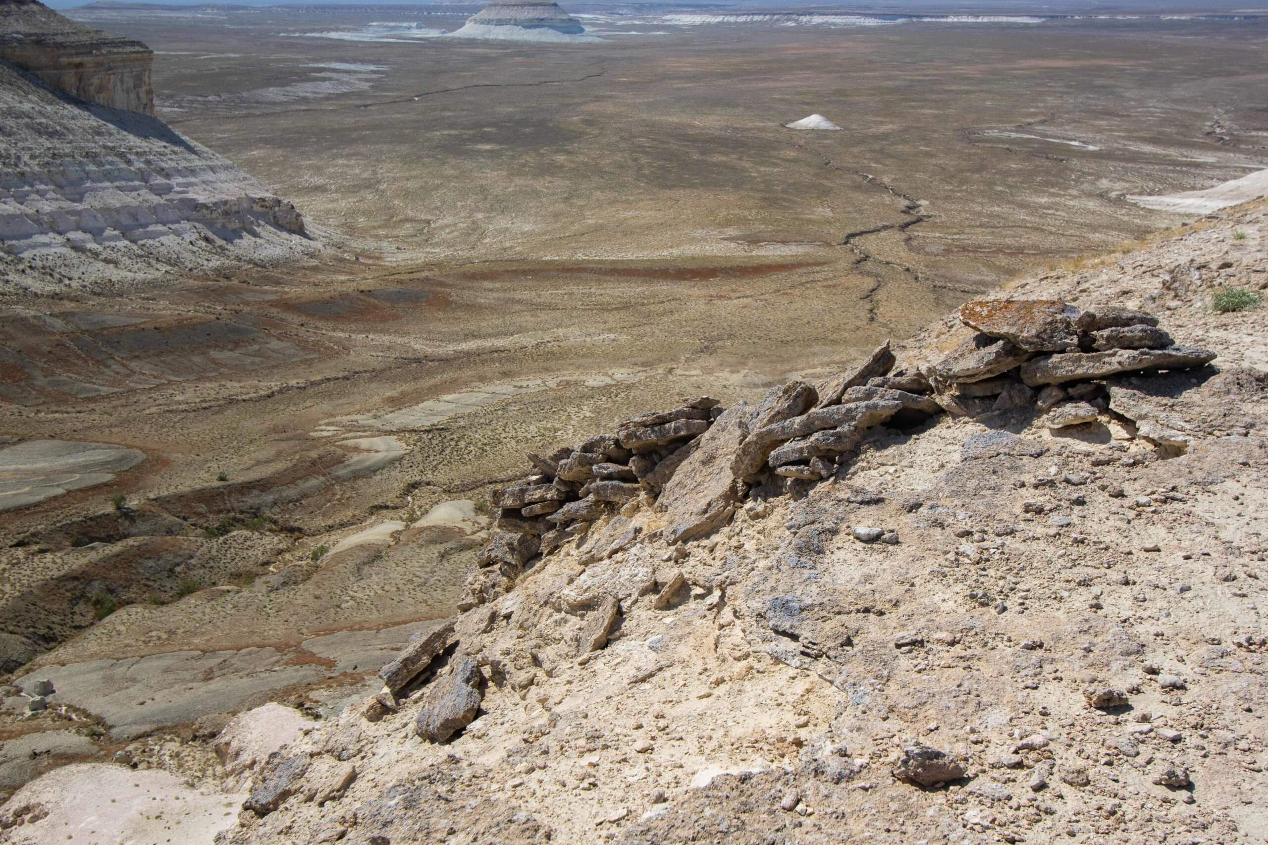
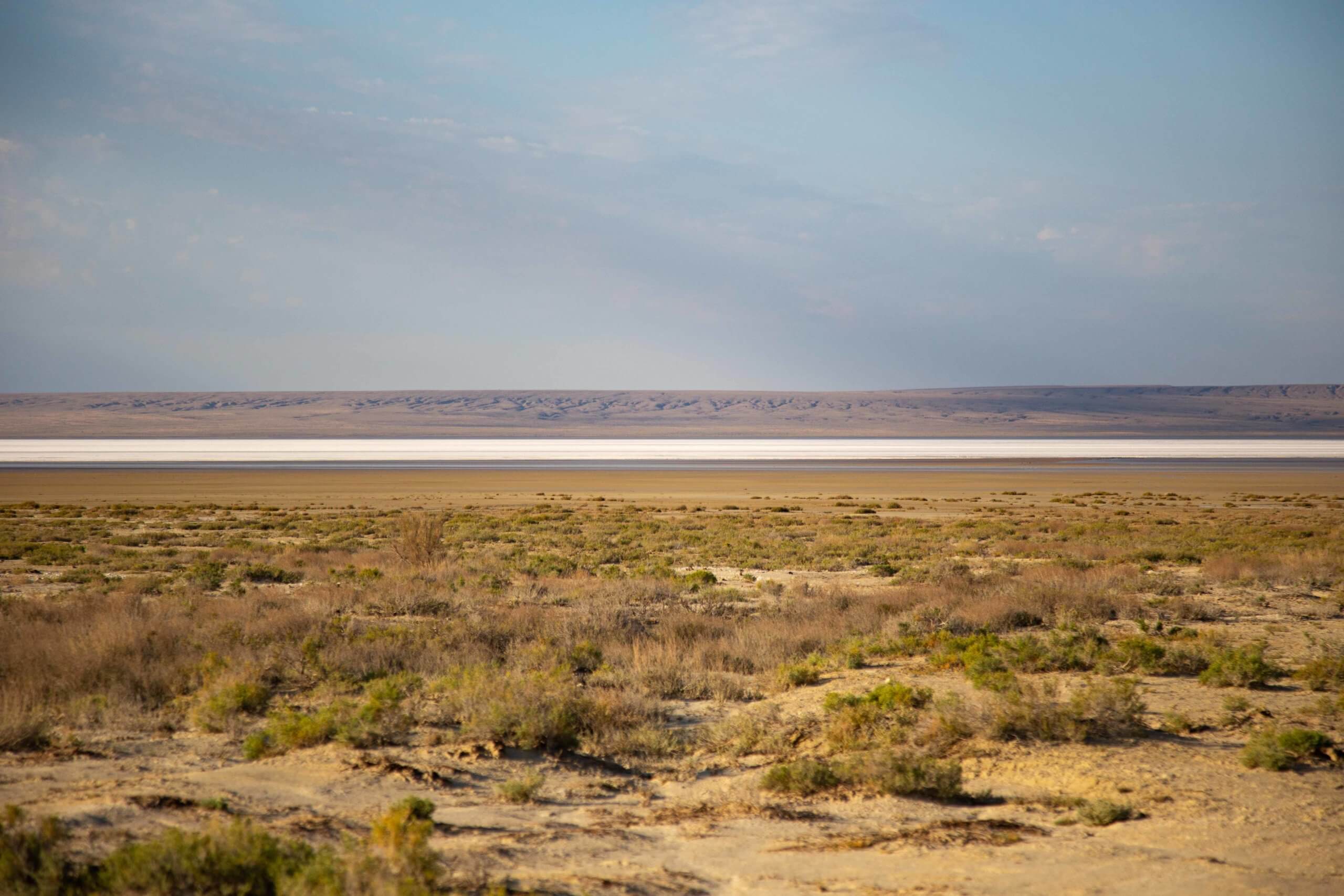
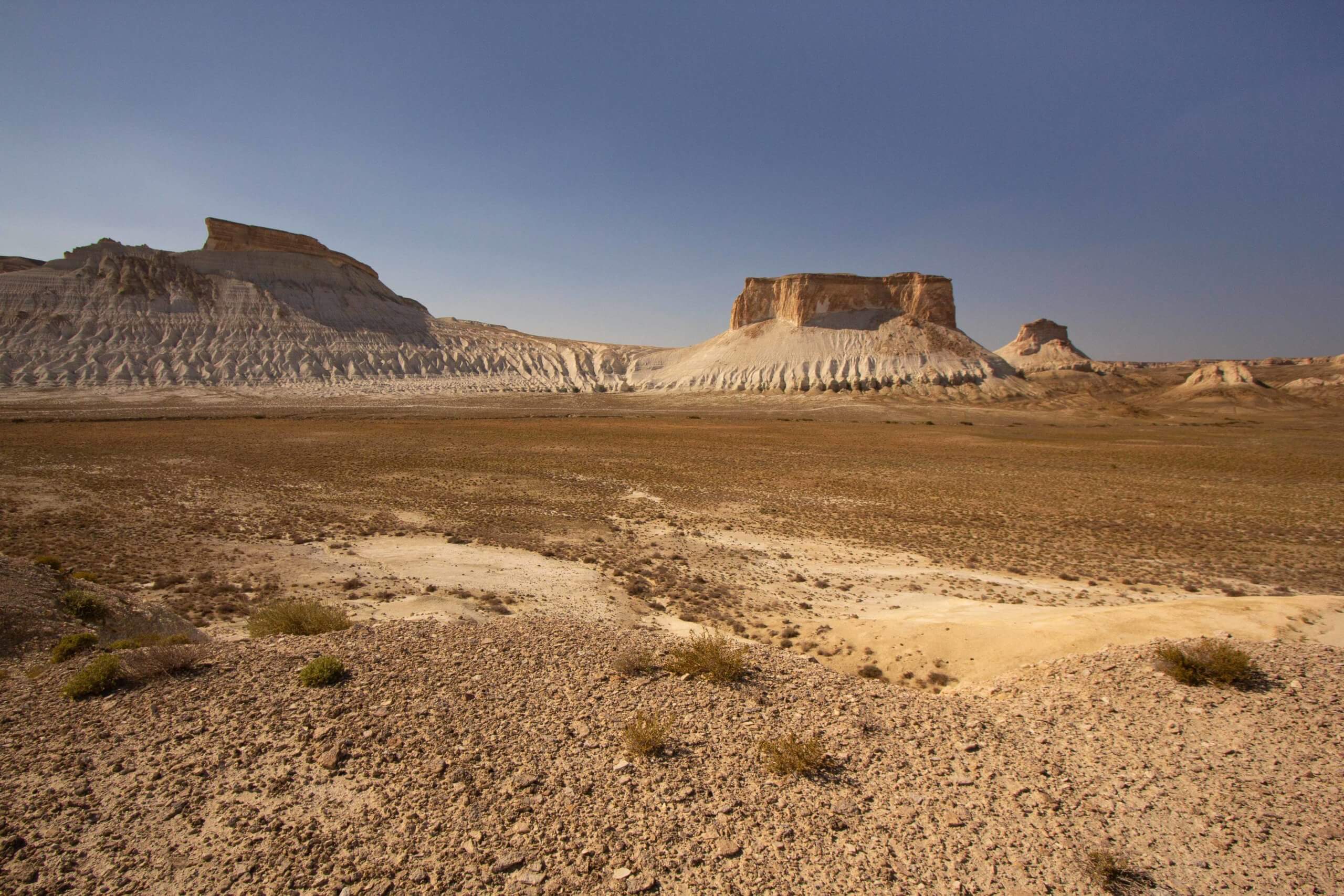
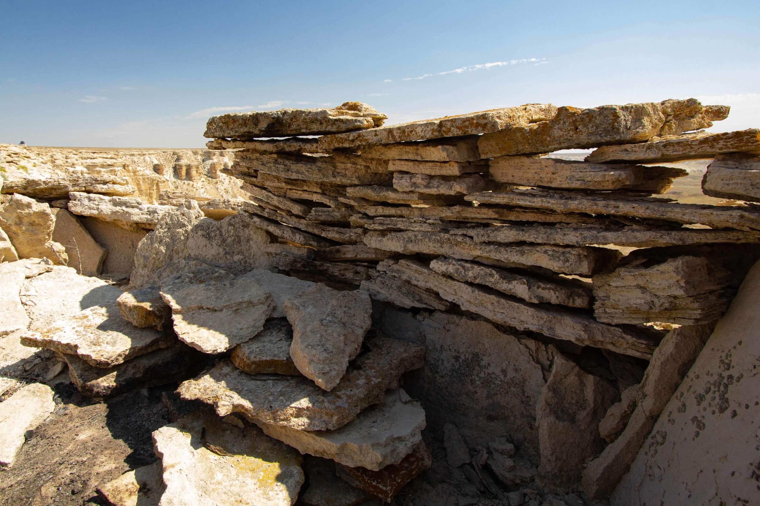
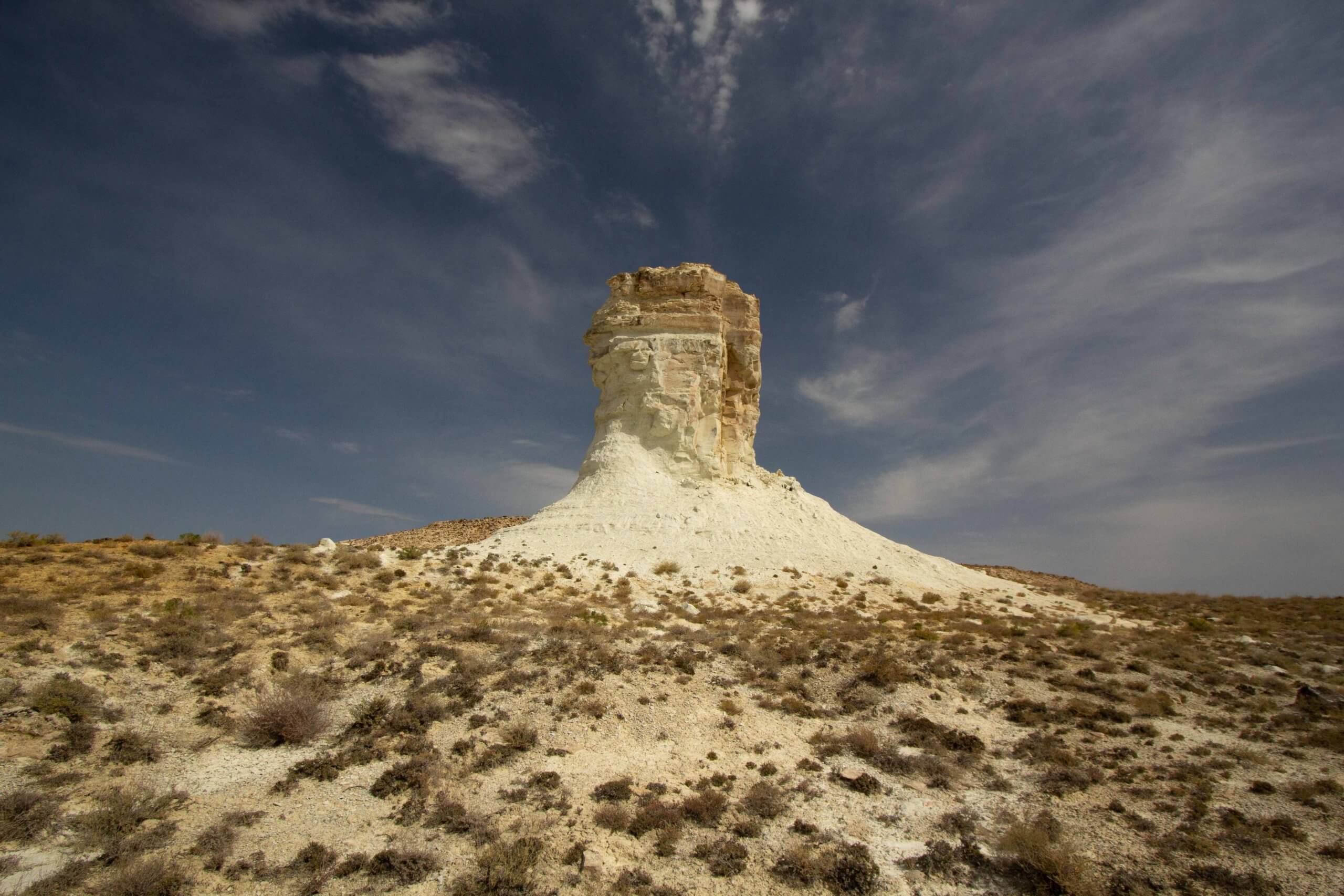
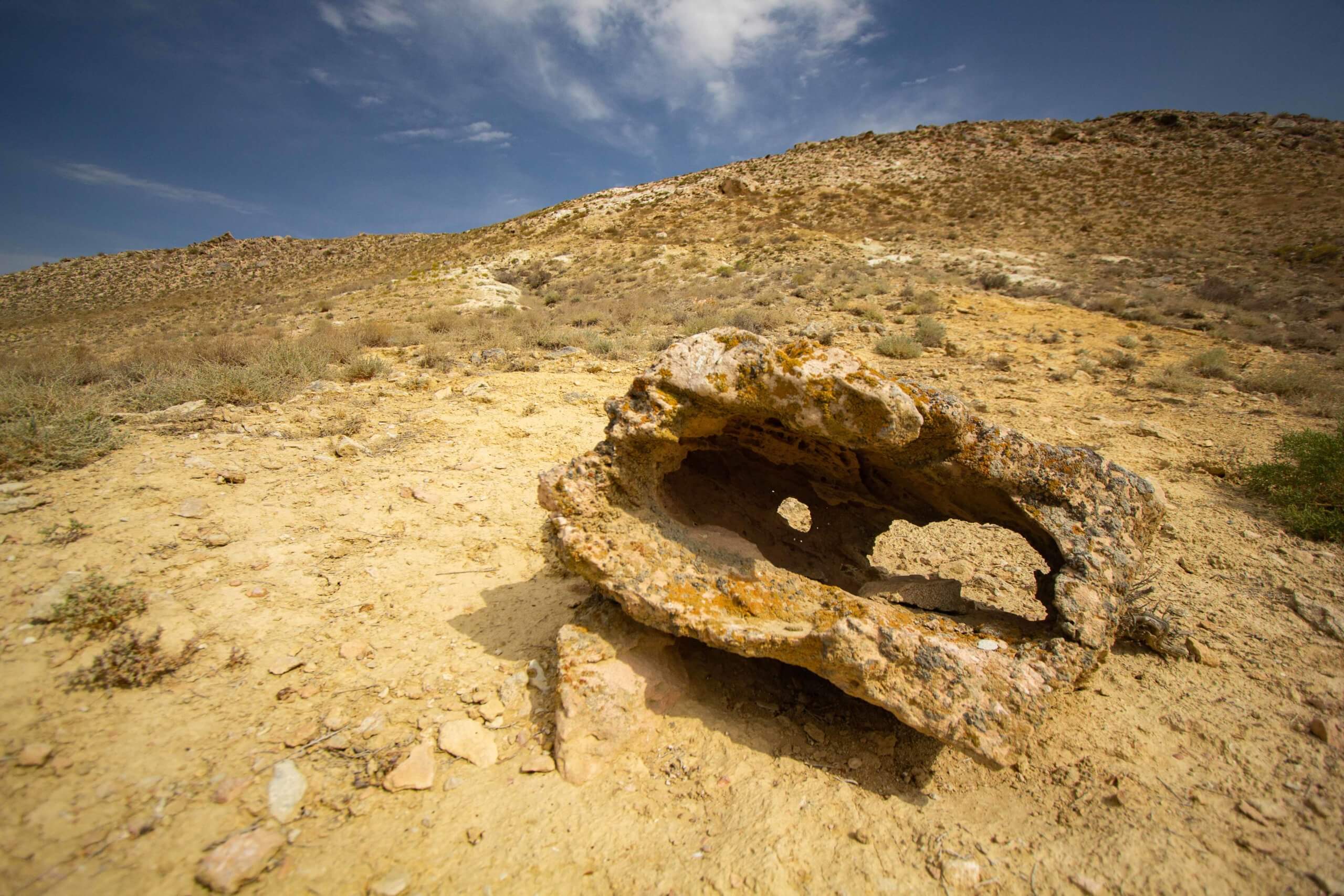
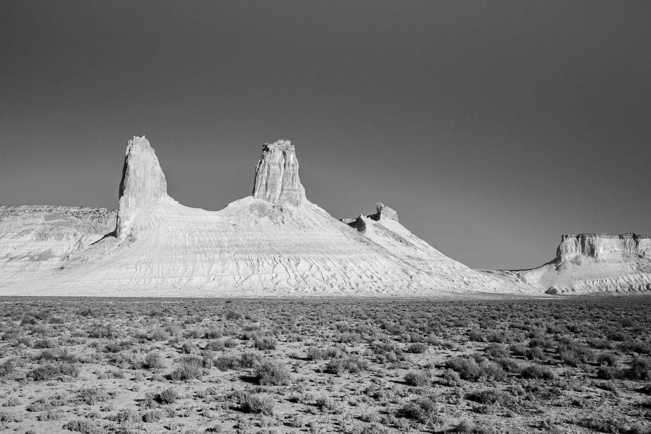
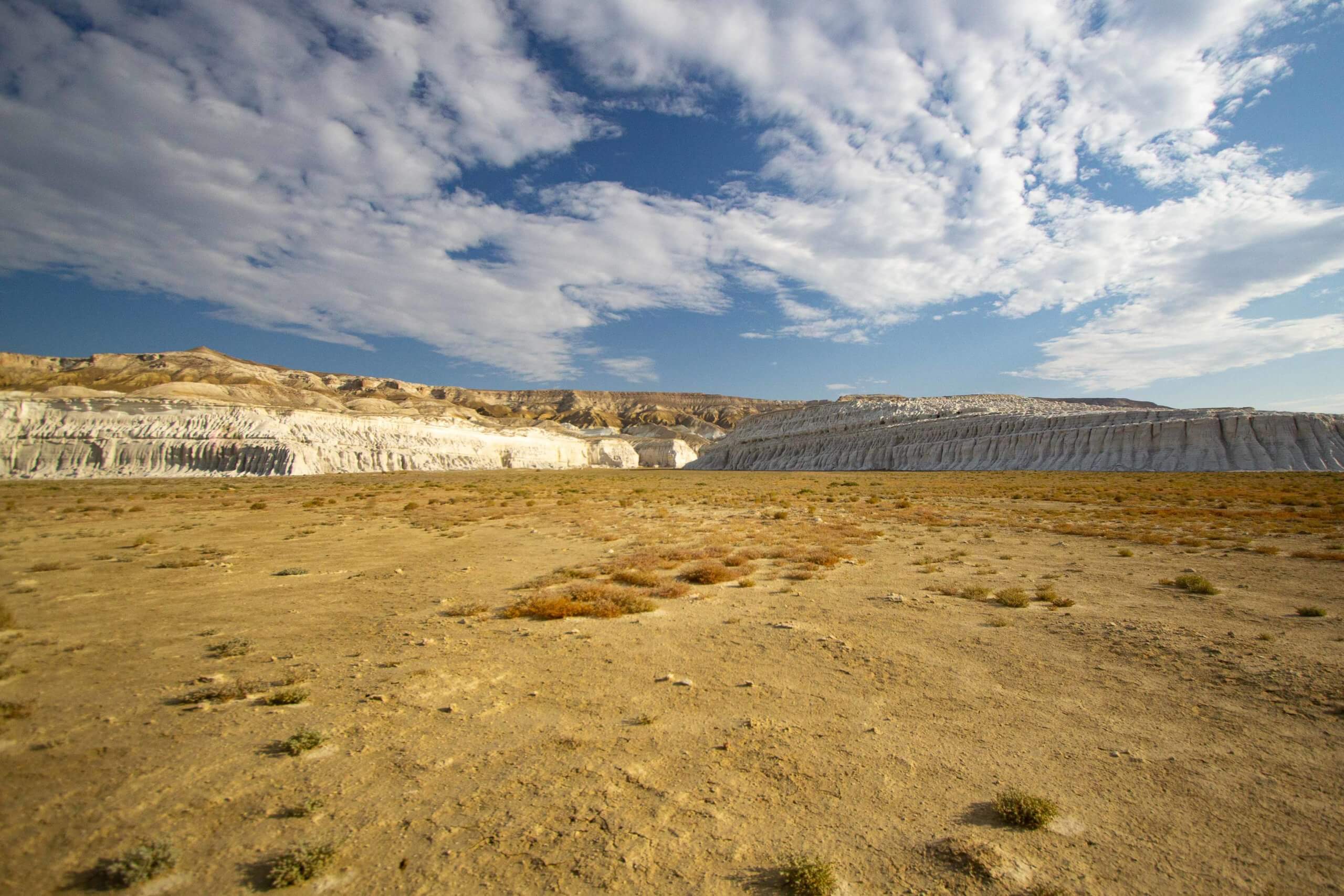
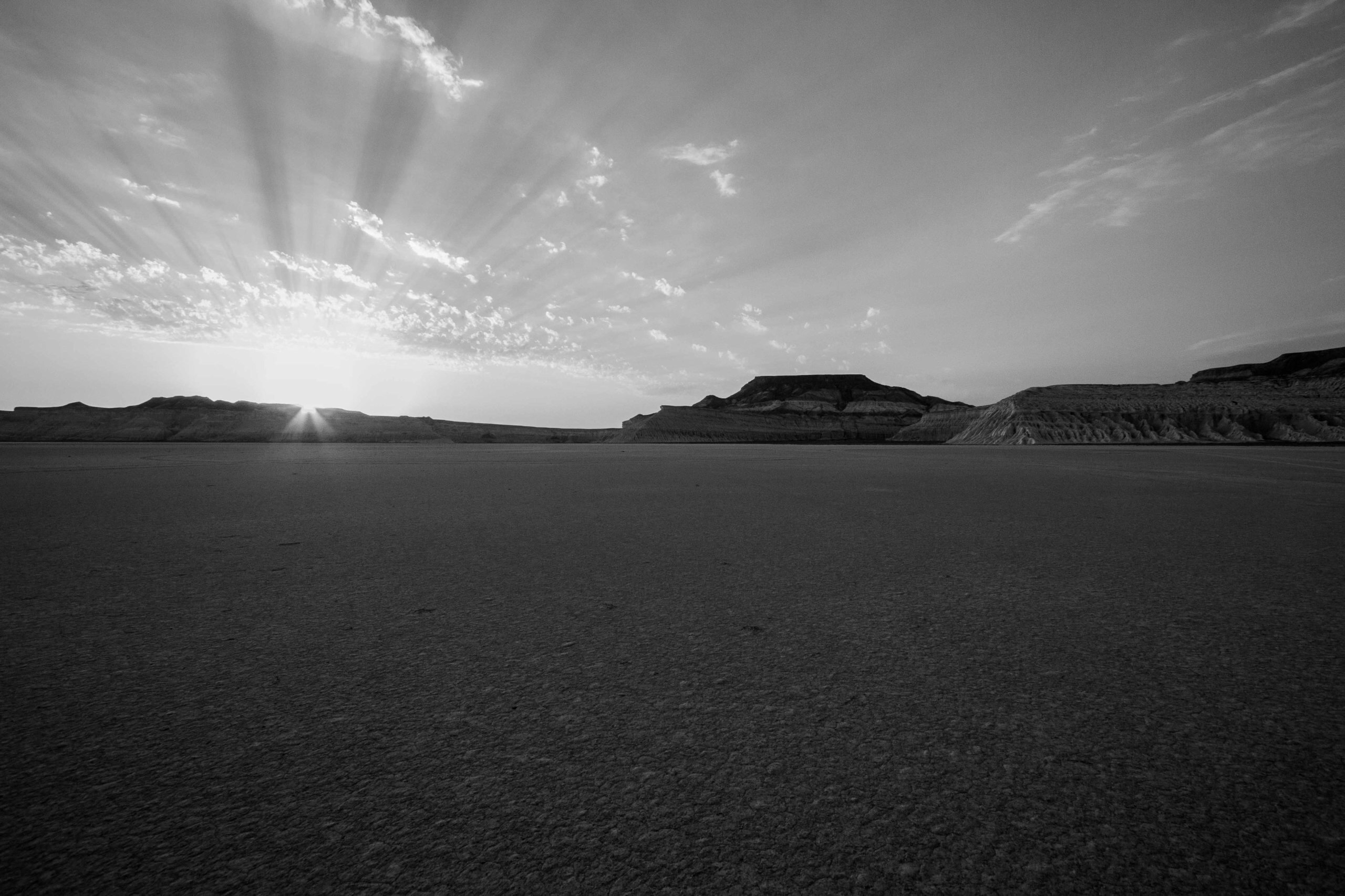
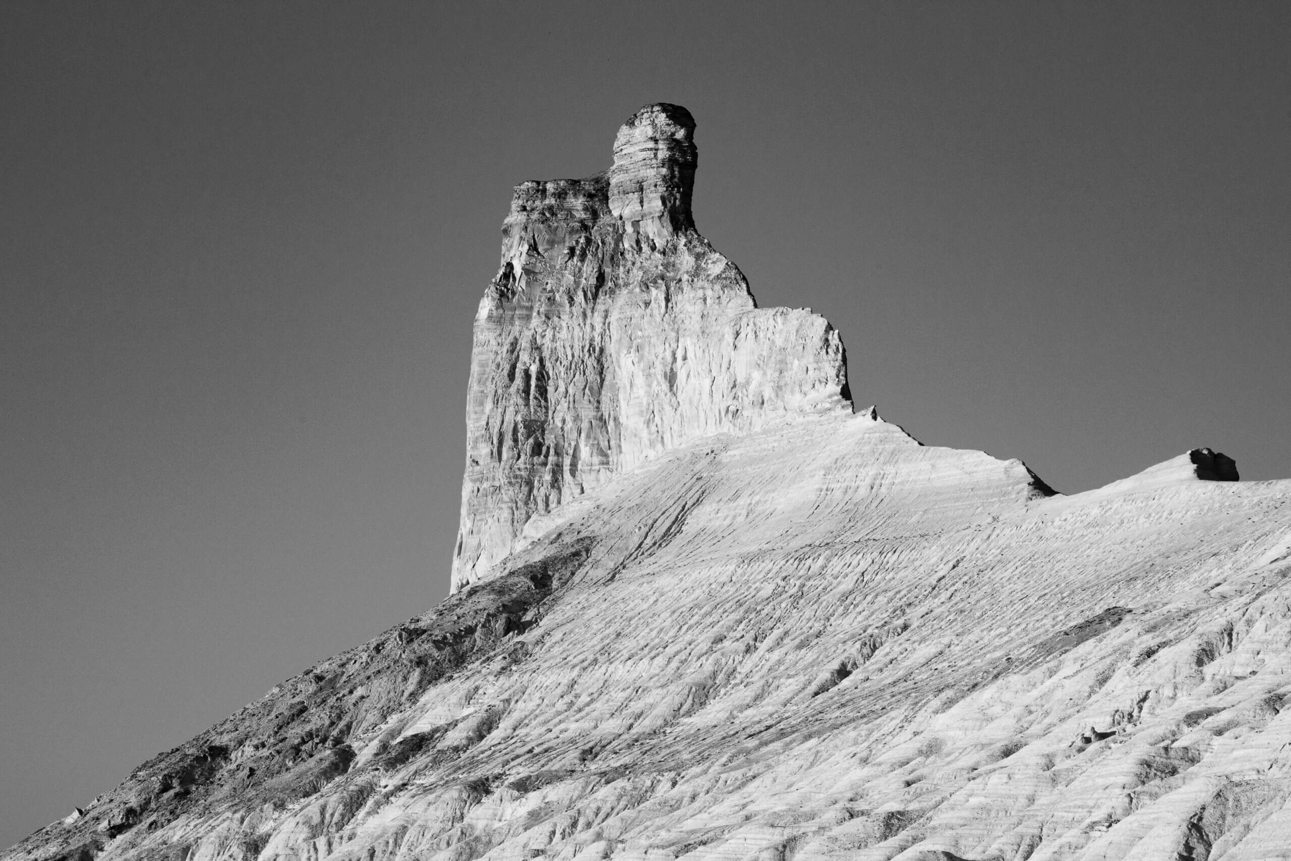
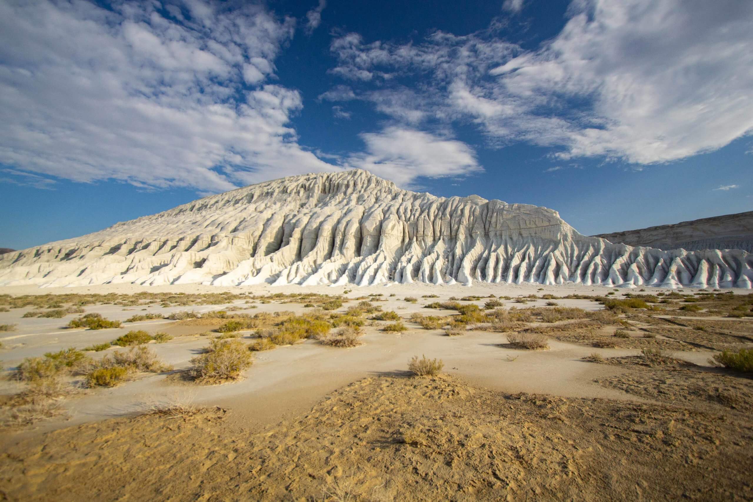
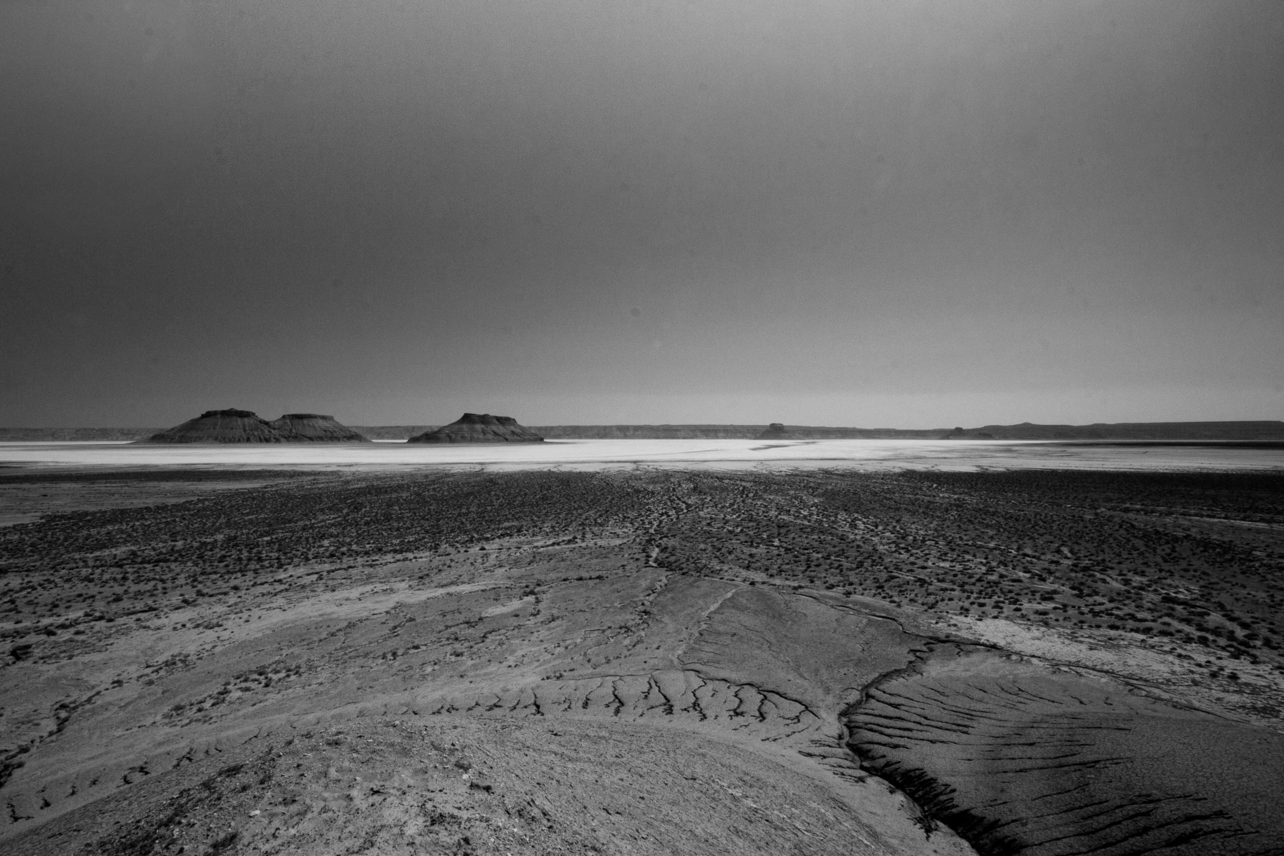
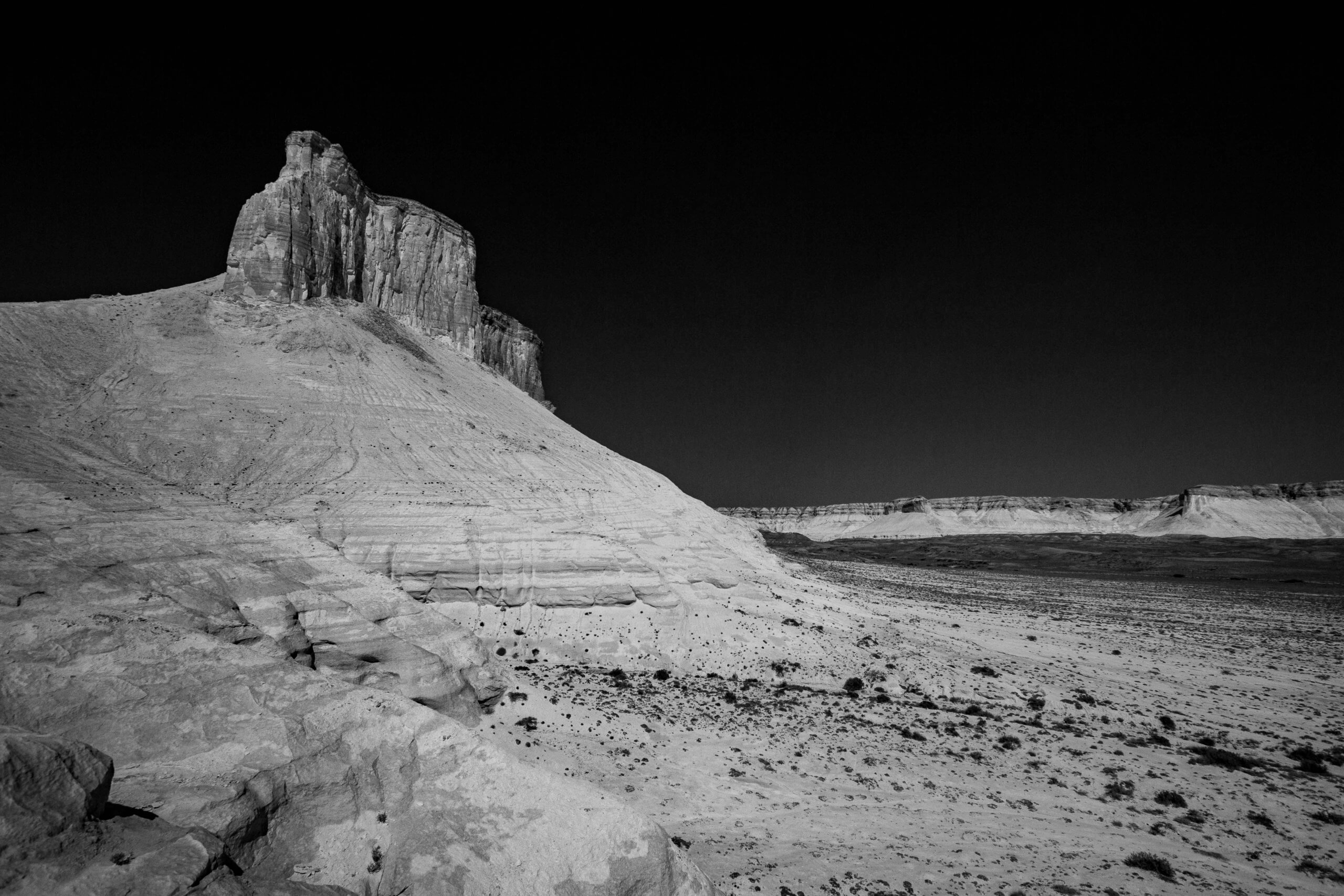
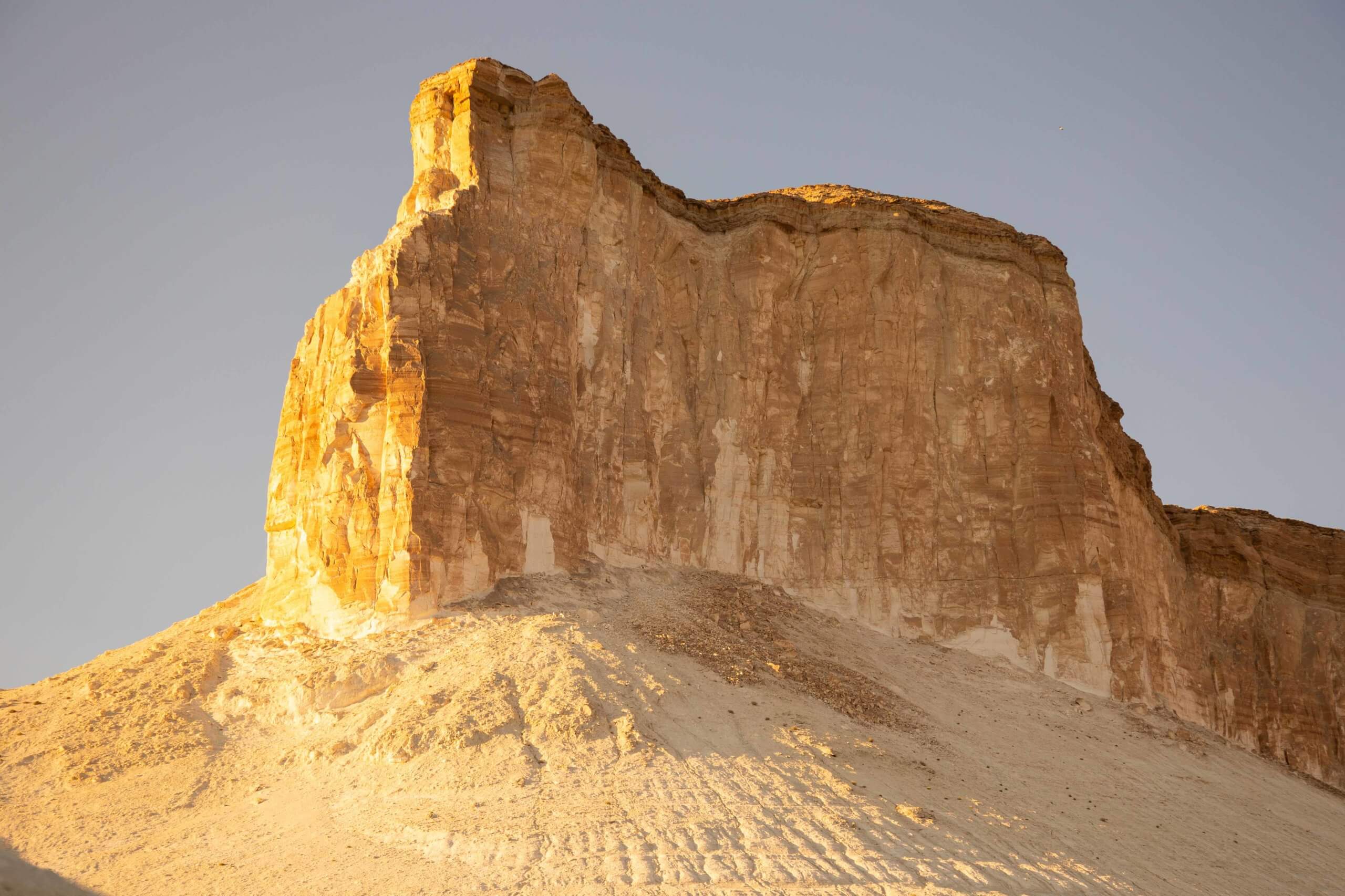
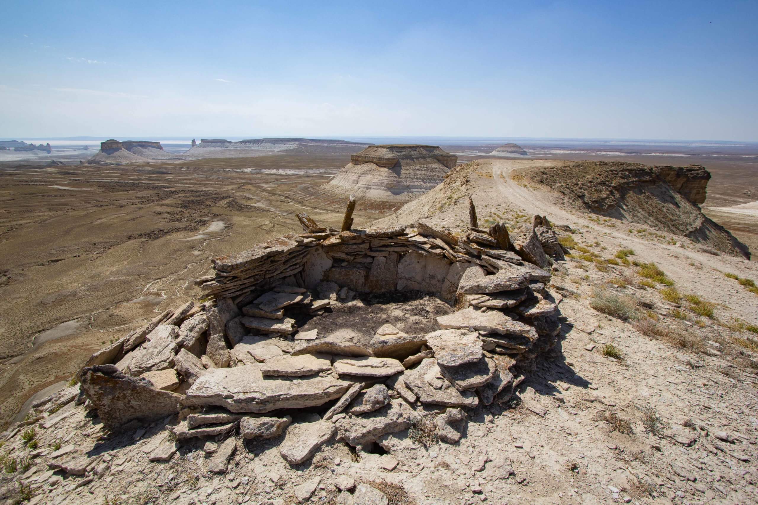
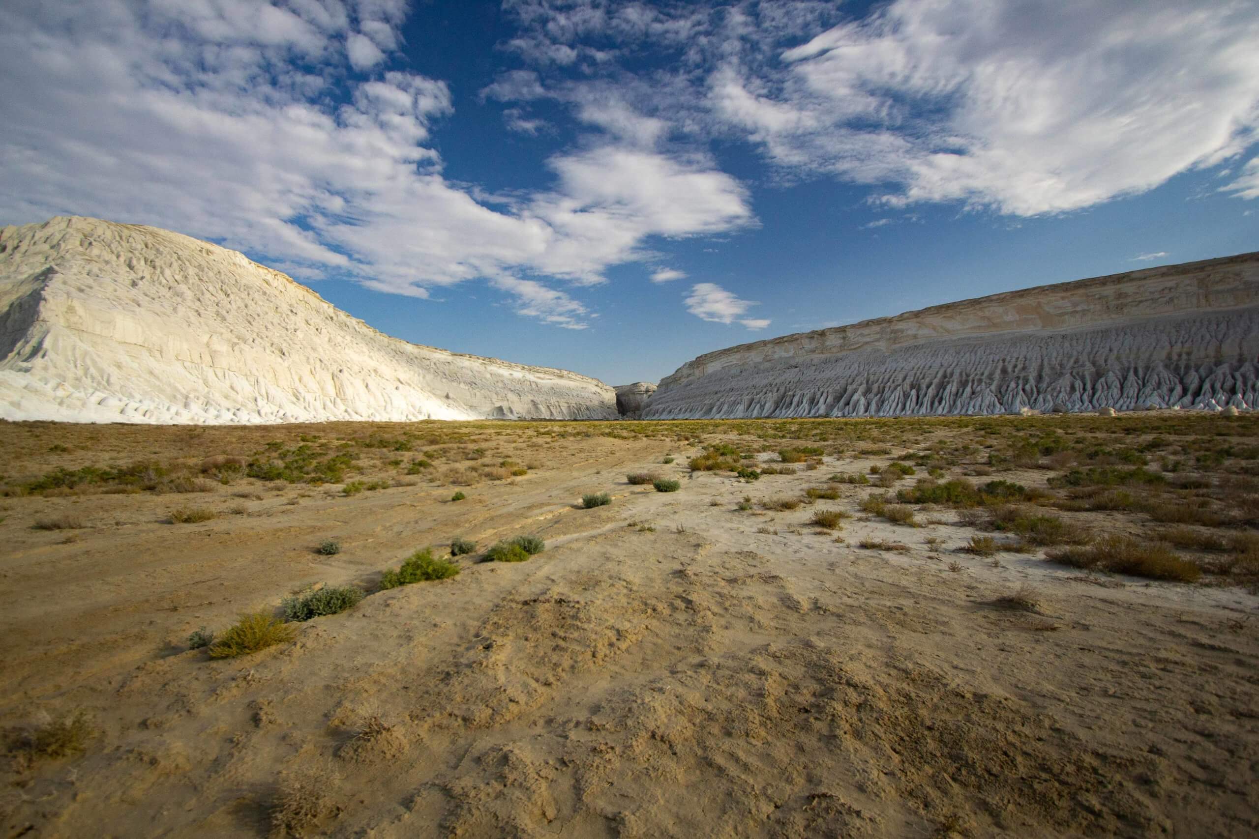
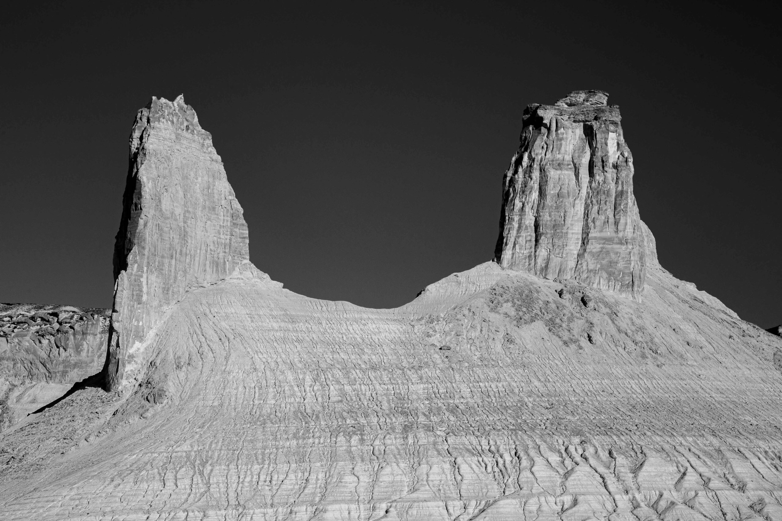
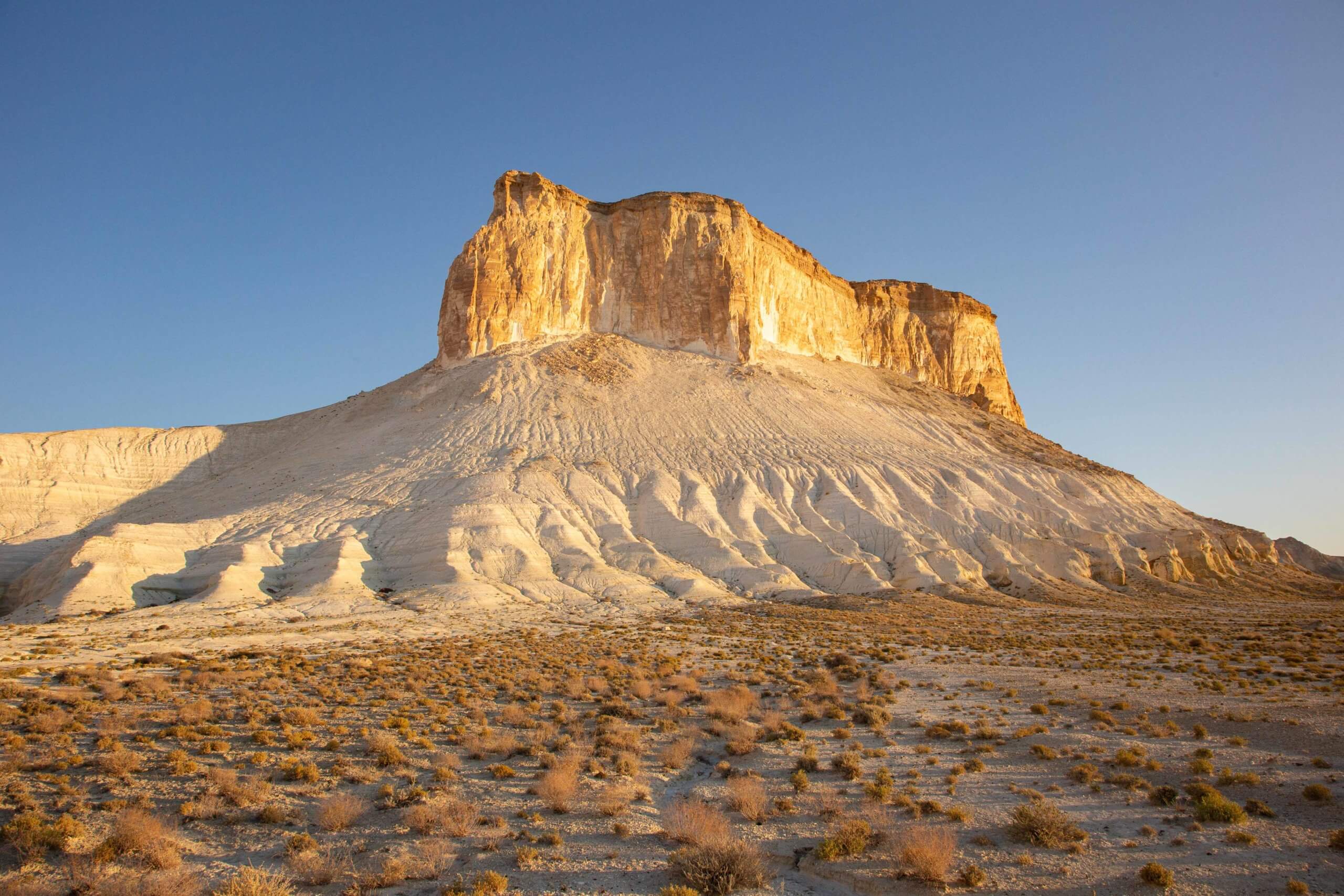
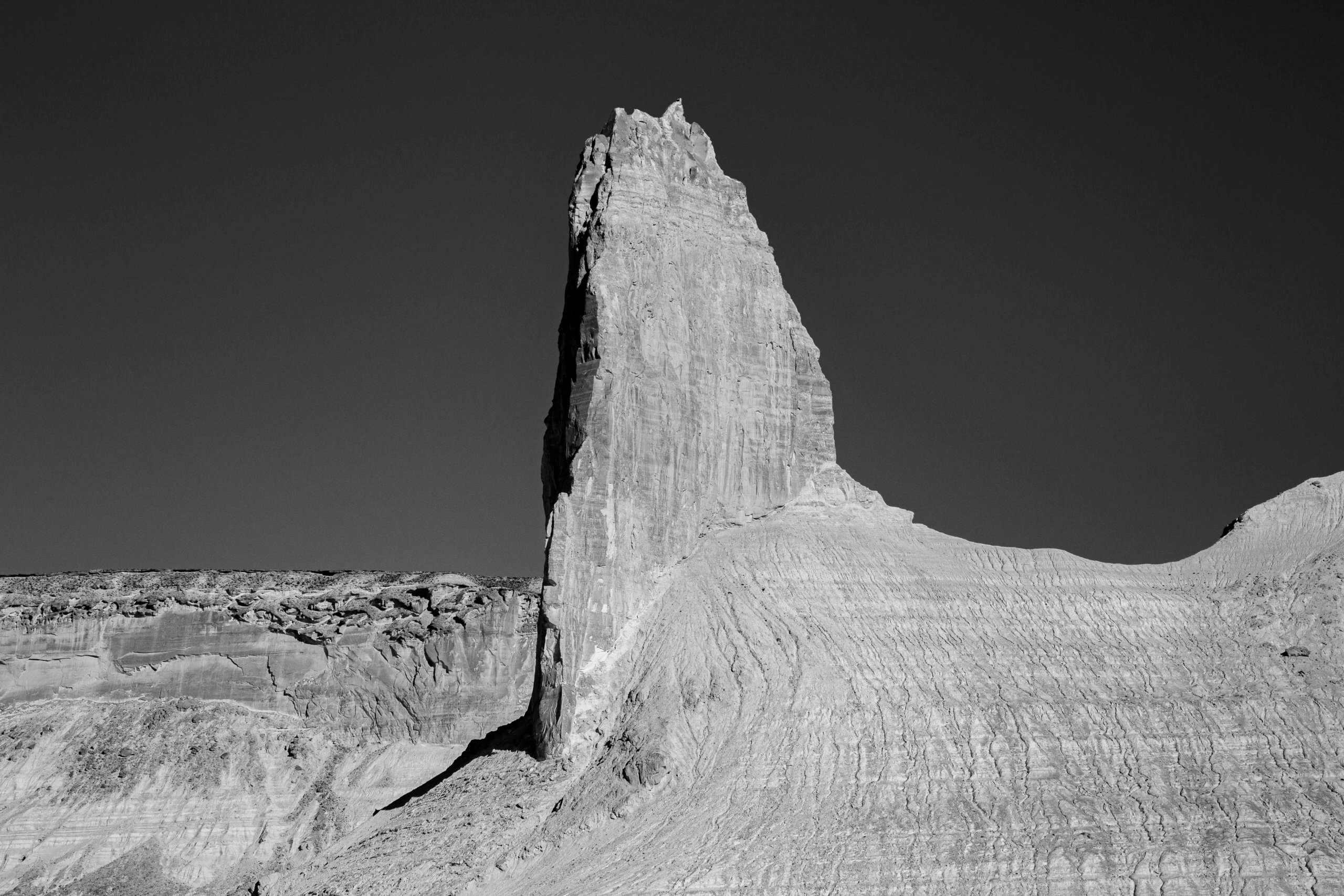
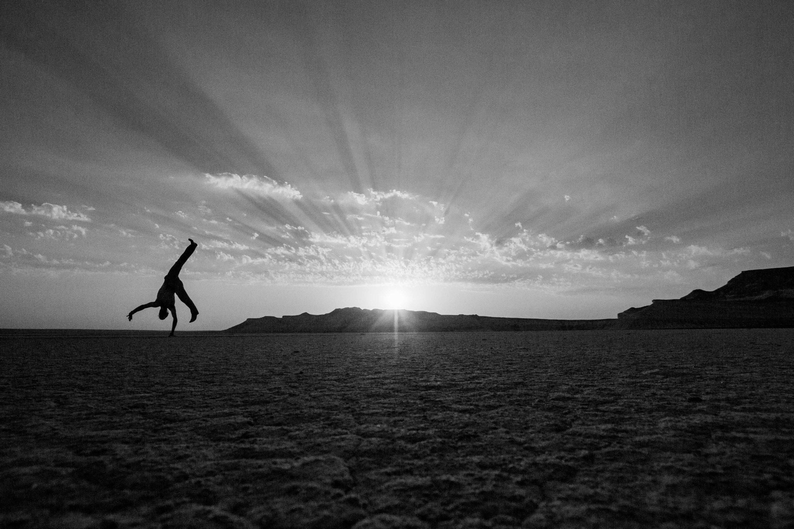
Located in Uzbekistan and Kazakhstan, the Ustyurt is a dry plateau that stretches from the Gulf of Kara-Bogaz-Gol (or Garabogazköl Aylagy) and the Mangyshlak Peninsula in the west to the Amu Darya delta and the Aral Sea in the east. It’s roughly the size of Iceland and South Korea combined and it is characterised by stony, clay, and sandy desert areas. It’s also the former site of a 21 million-year-old sea in the early to middle Cenozoic Era. Flanking many of the dead flat salt pans are chalk escarpments rising to 150m high from the floor. It’s a relatively inhospitable environment for humans. Still, there is plenty of wildlife ranging from hopping jerboa, ground squirrels, tortoises, Egyptian vultures, eagles, long-needled hedgehogs, golden eagles, Karakal lynxes, and the ever-elusive saiga. These Ustyurt Plateau photos are from a 2017 trip to the area where we covered 1,000 km off-road with Aktau-based travel agency Экспедиция +362 (Expedition +362)—If you have your own transport, Yerlan and his team can assist you with any logistics.
If you want to see more Ustyurt Plateau photos and read more about the region’s history and geography, then check out my BBC Travel story. The Mangystau Region is estimated to have 725 million tonnes of recoverable oil reserves across 70+ sites. There are also a small number of refineries operating in the Uzbek Ustyurt too. Fortunately, Kazakhstan’s Ustyurt Nature Reserve and Uzbekistan’s Saigachiy Reserve — which is three times larger — have a degree of protection from the extractive industry. Despite this, the Central Asian and international scientific community are researching how to expand them into a trans-border biosphere reserve across all three countries and eventually secure its long-term future by acquiring a UNESCO World Heritage Site status. To license these images please contact me on info@matthewtraver.com.