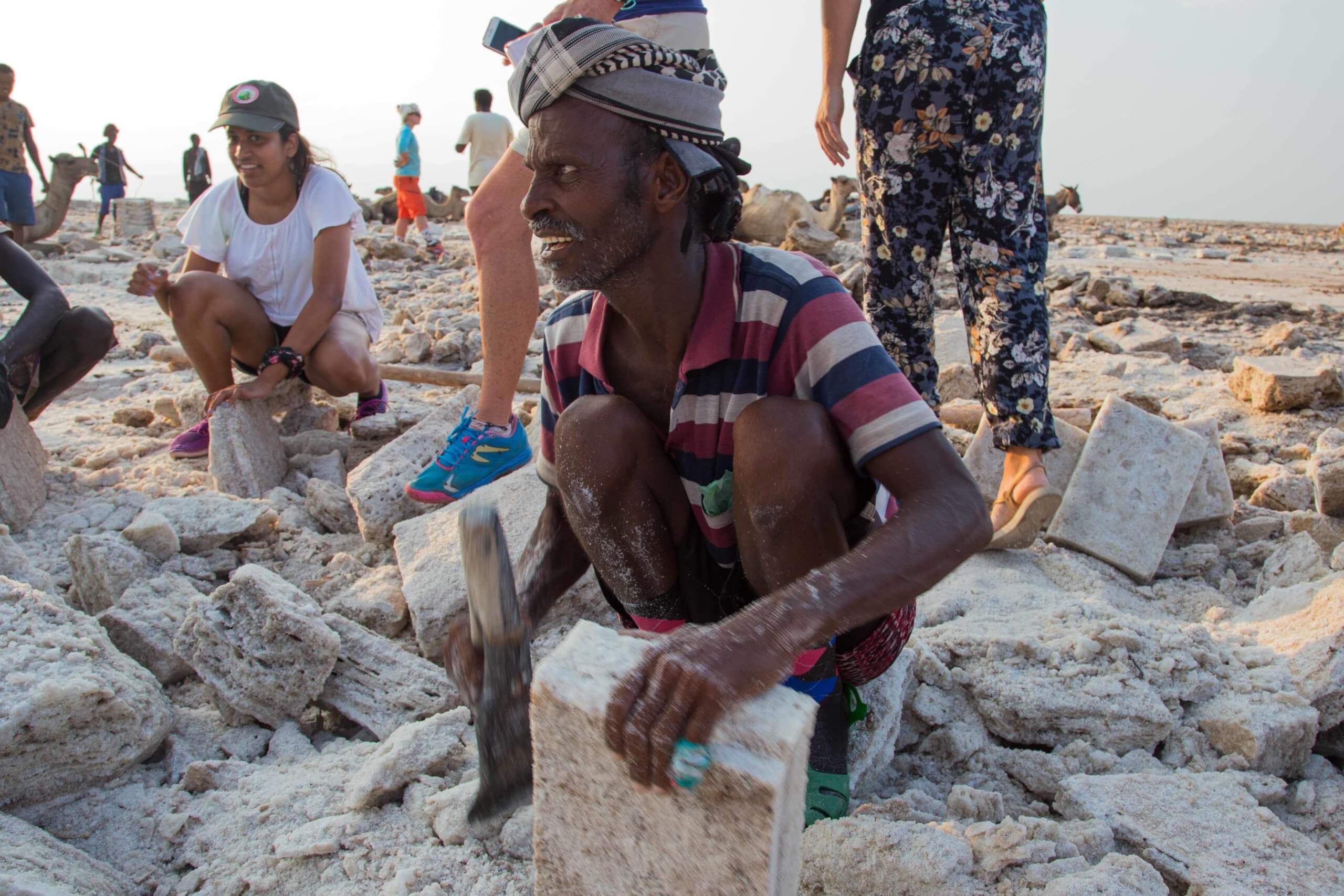
The Danakil Depression, a 50 x 200km geological basin in the Afar region of northeast Ethiopia, is one of the most extreme landscapes on Earth. It features sulphur springs at Dallol, towering volcanoes, Sahel scrub, sand dunes, and vast salt pans. In 1974, American paleoanthropologist Donald Johanson discovered the 3.2 million-year-old remains of “Lucy” here, cementing the region’s reputation as a cradle of humanity.
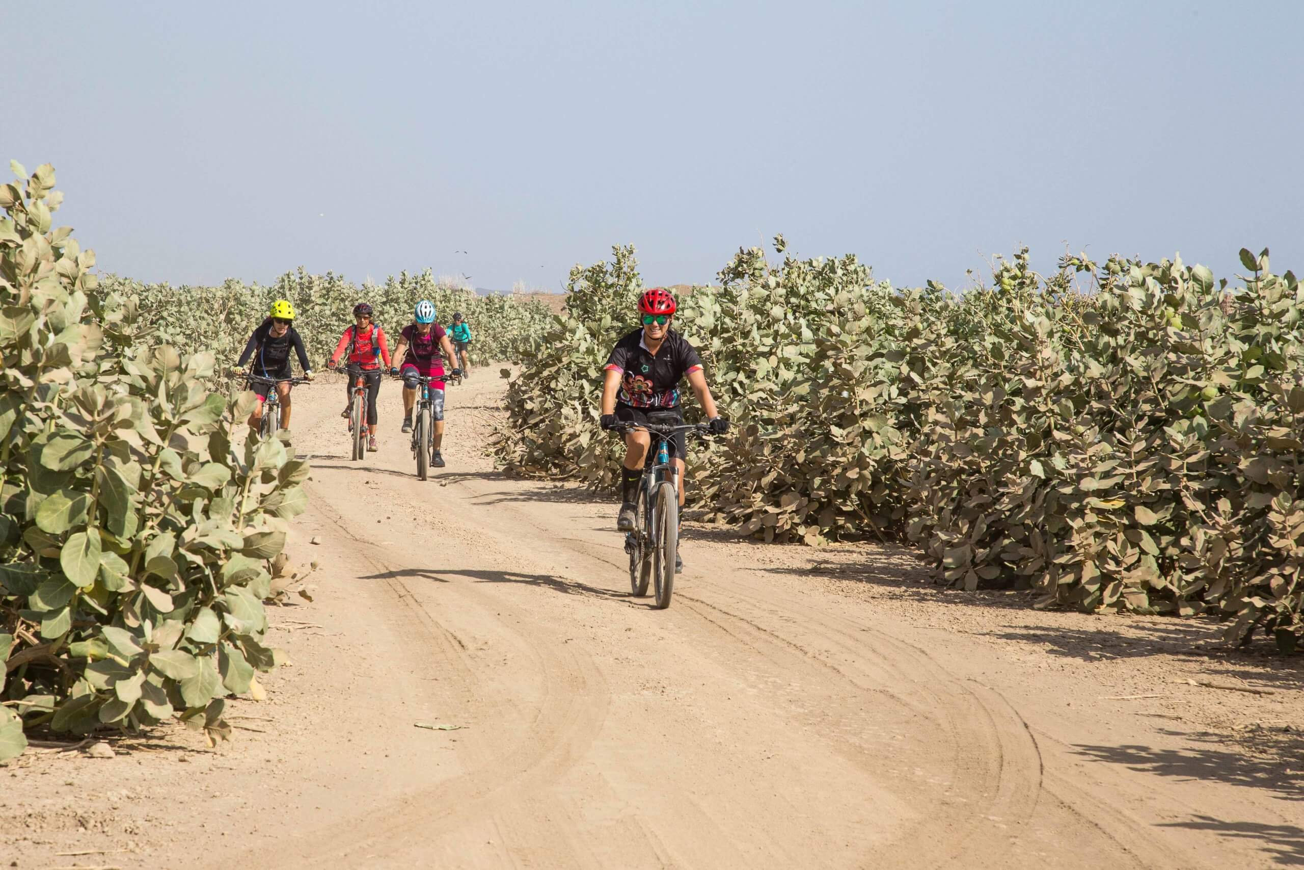
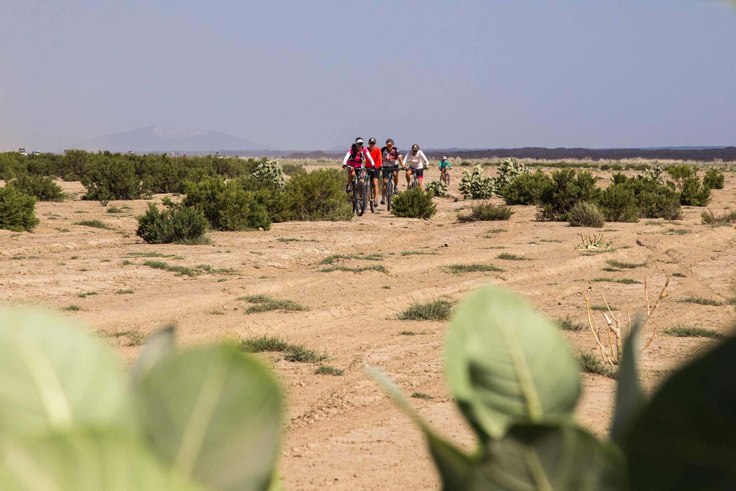
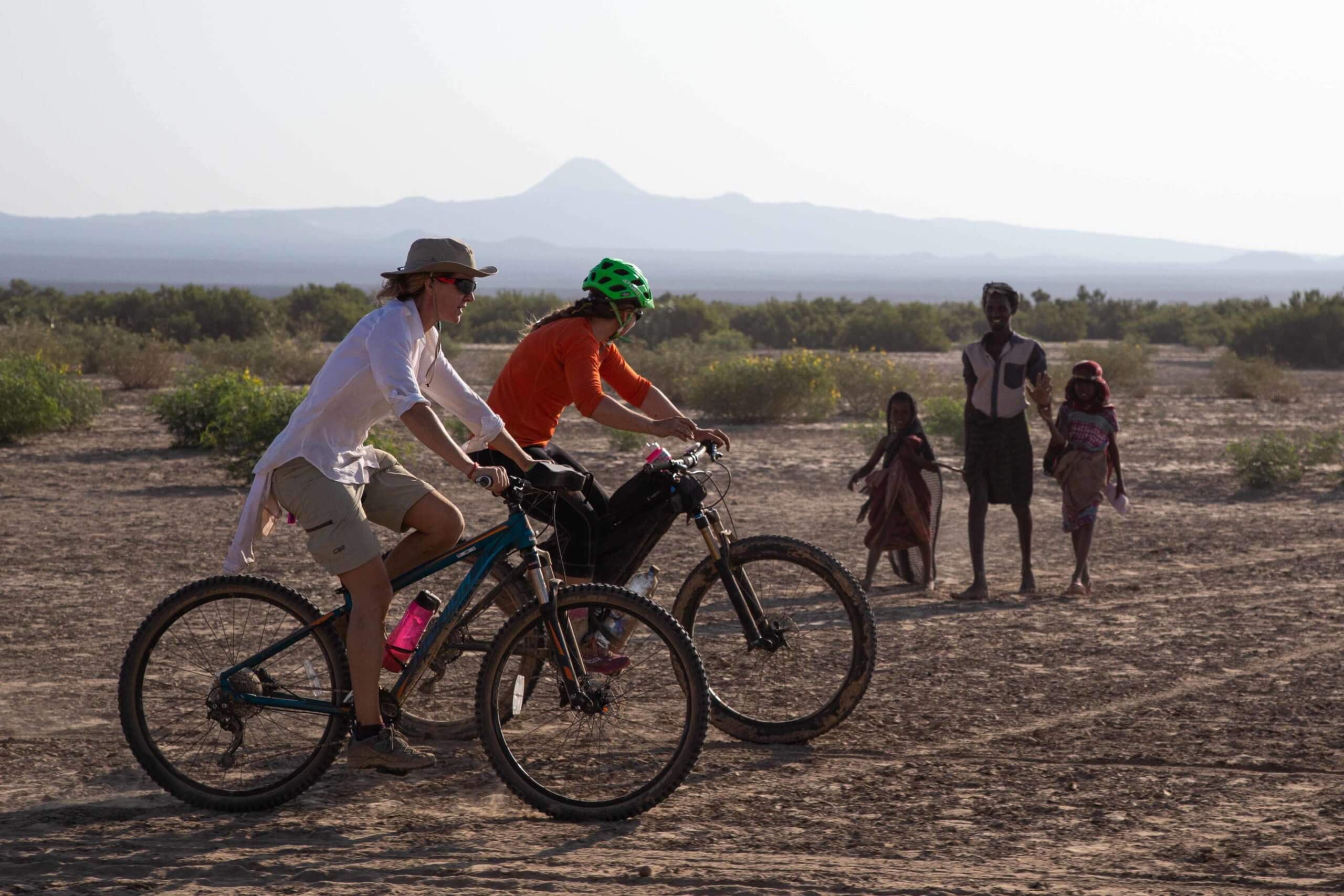
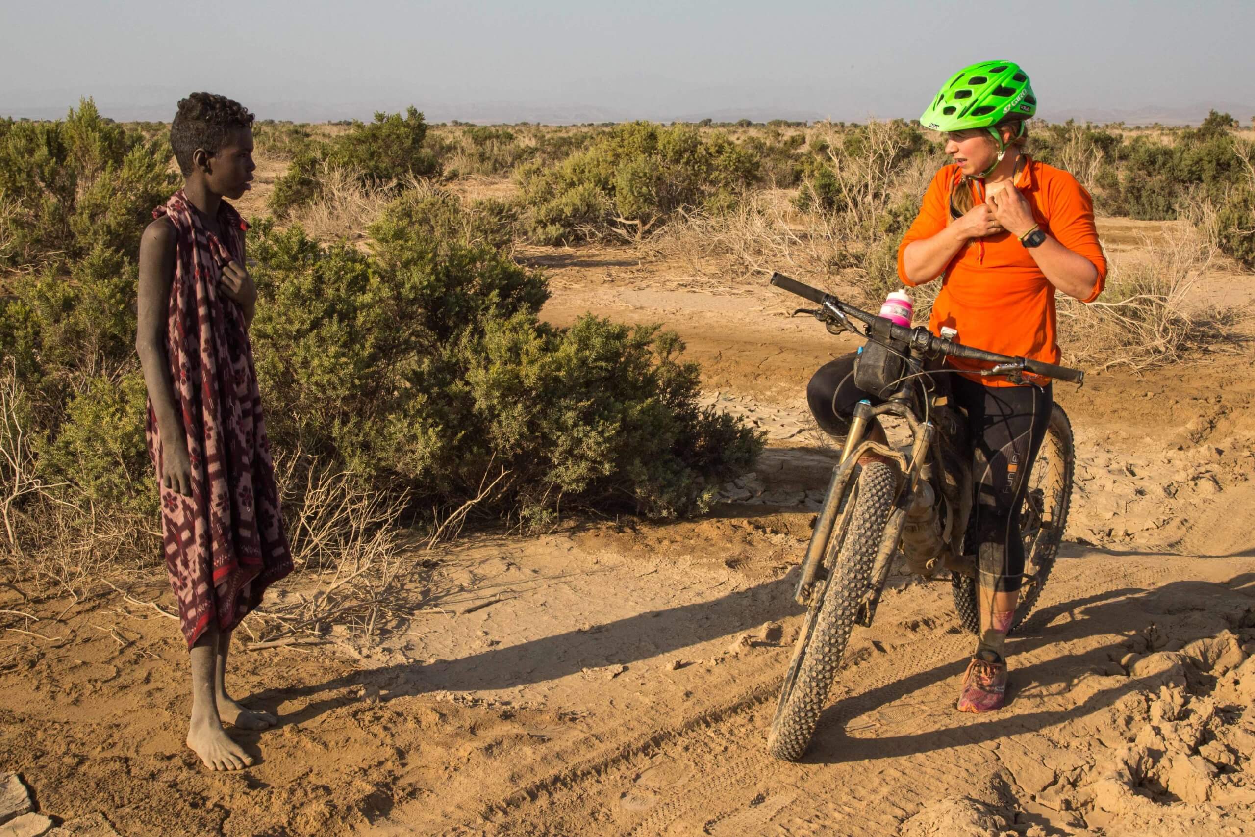
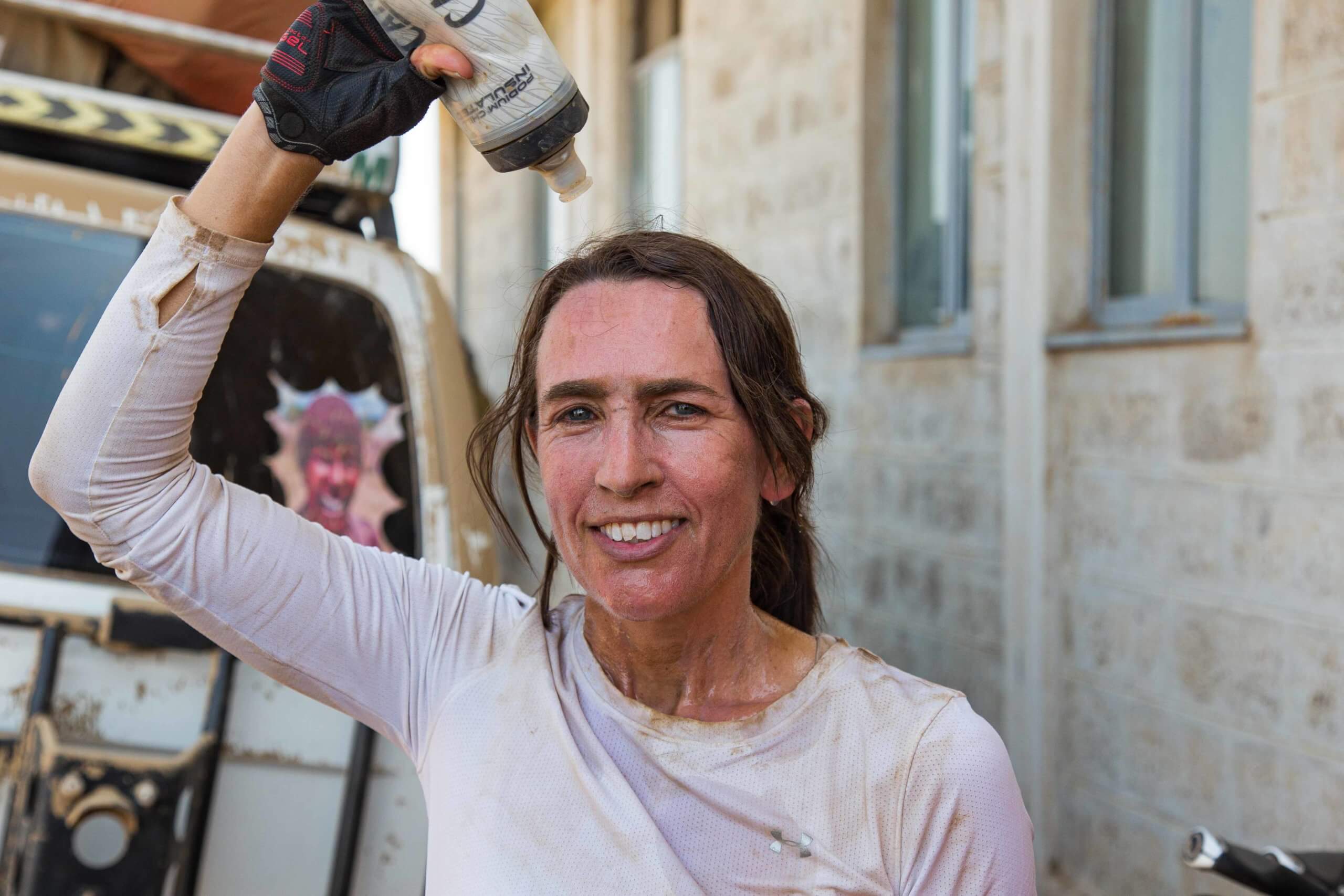
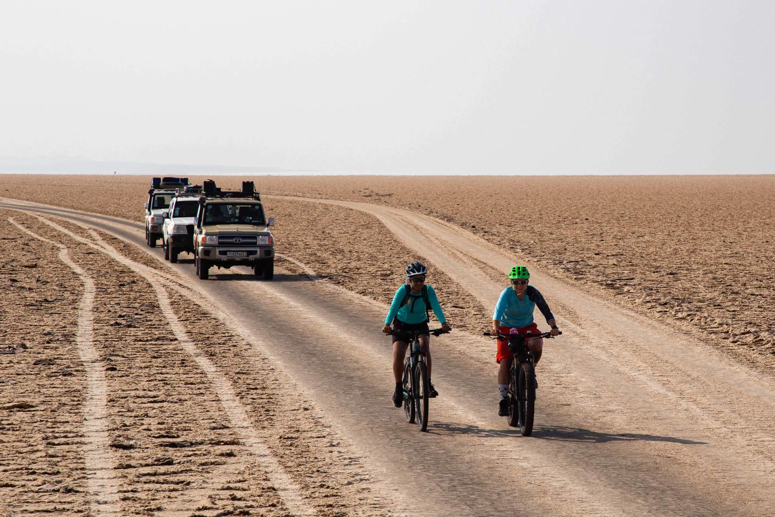
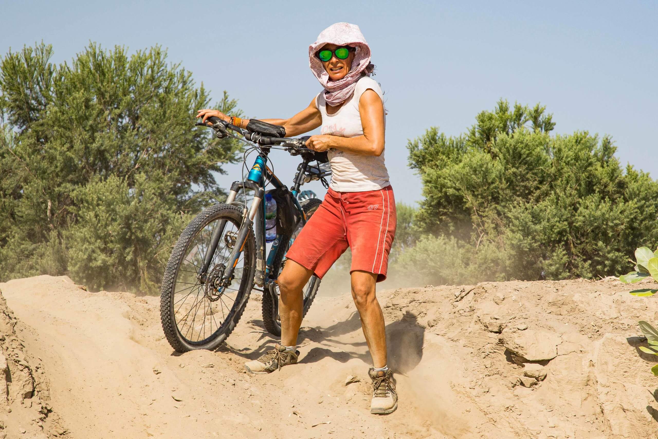
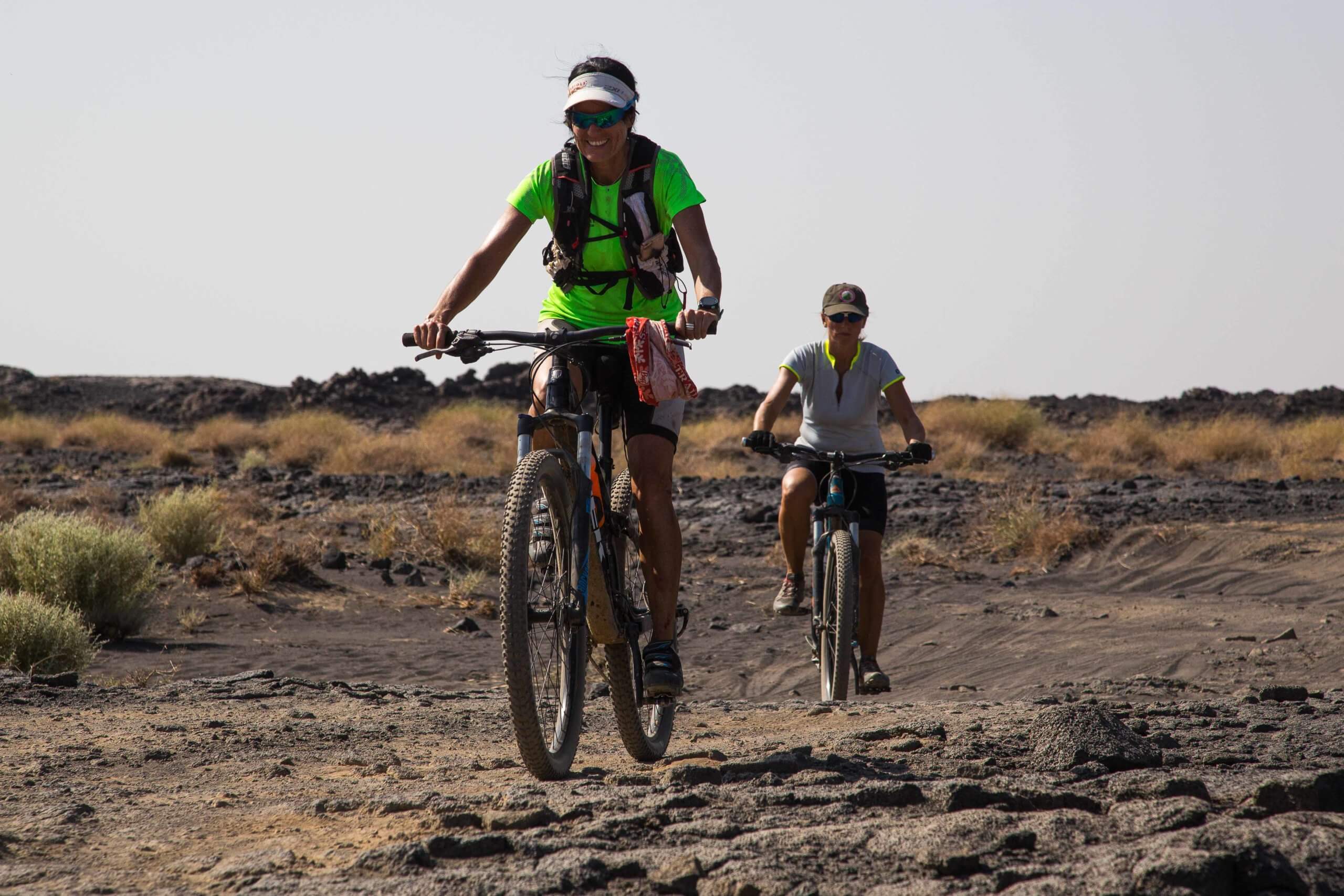
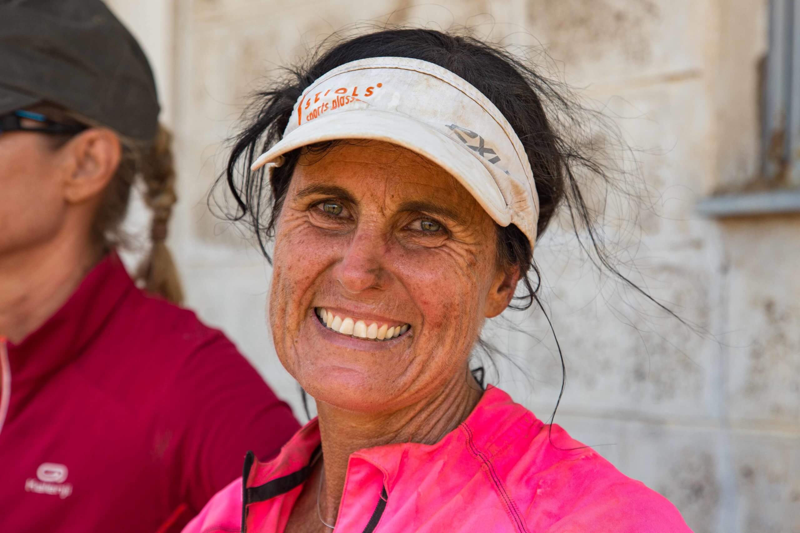
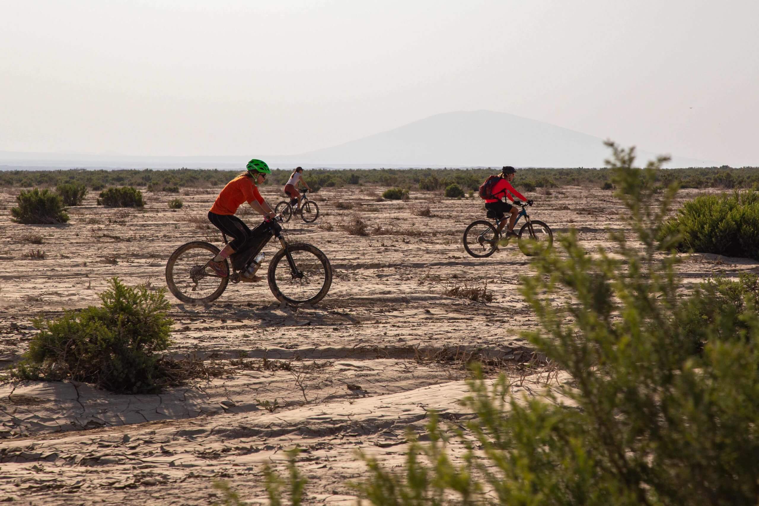
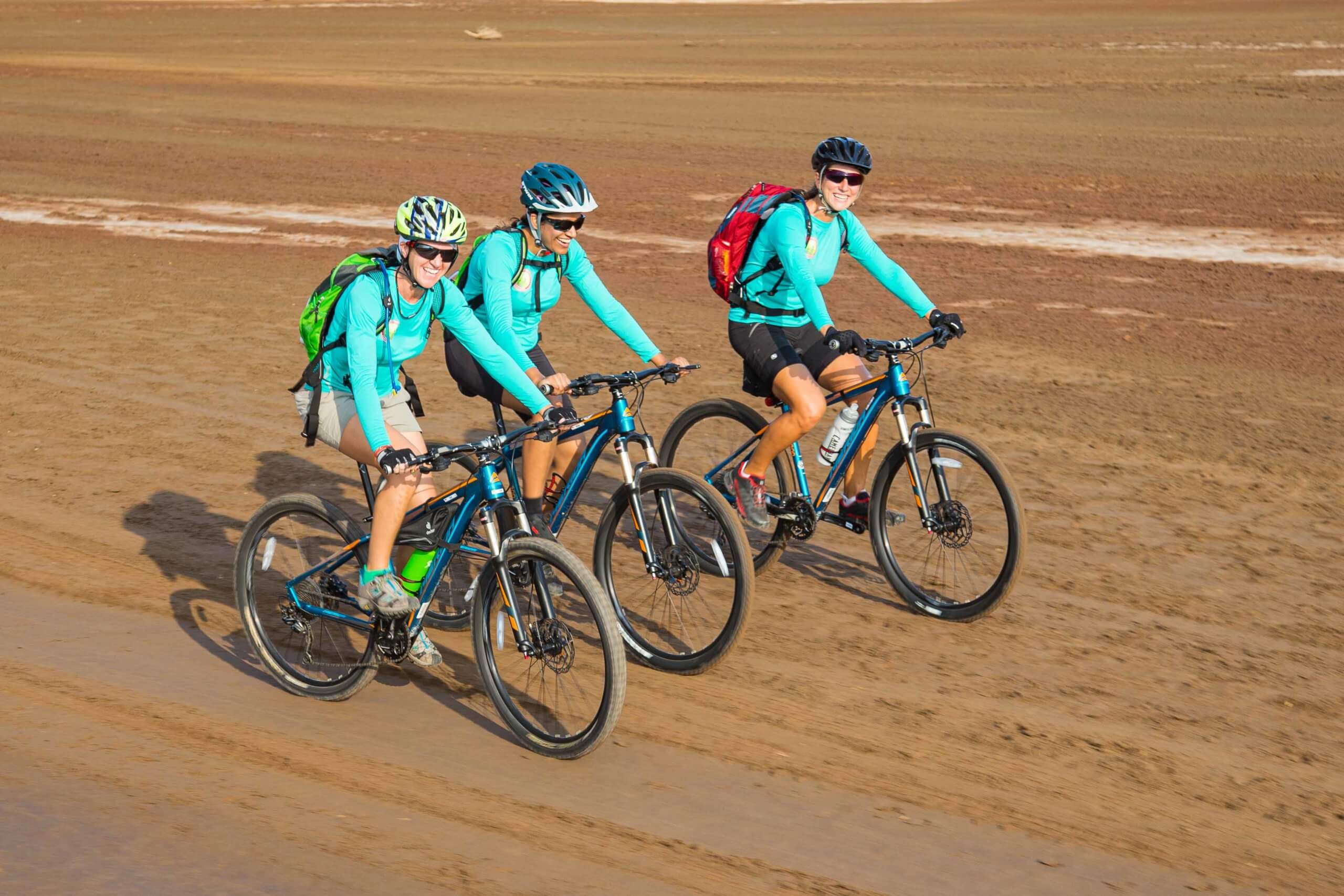
This collection of Danakil Depression photos documents Women on a Mission’s world-first bicycle crossing of the area — a 200km journey completed over six days, with daytime temperatures reaching +50°C.
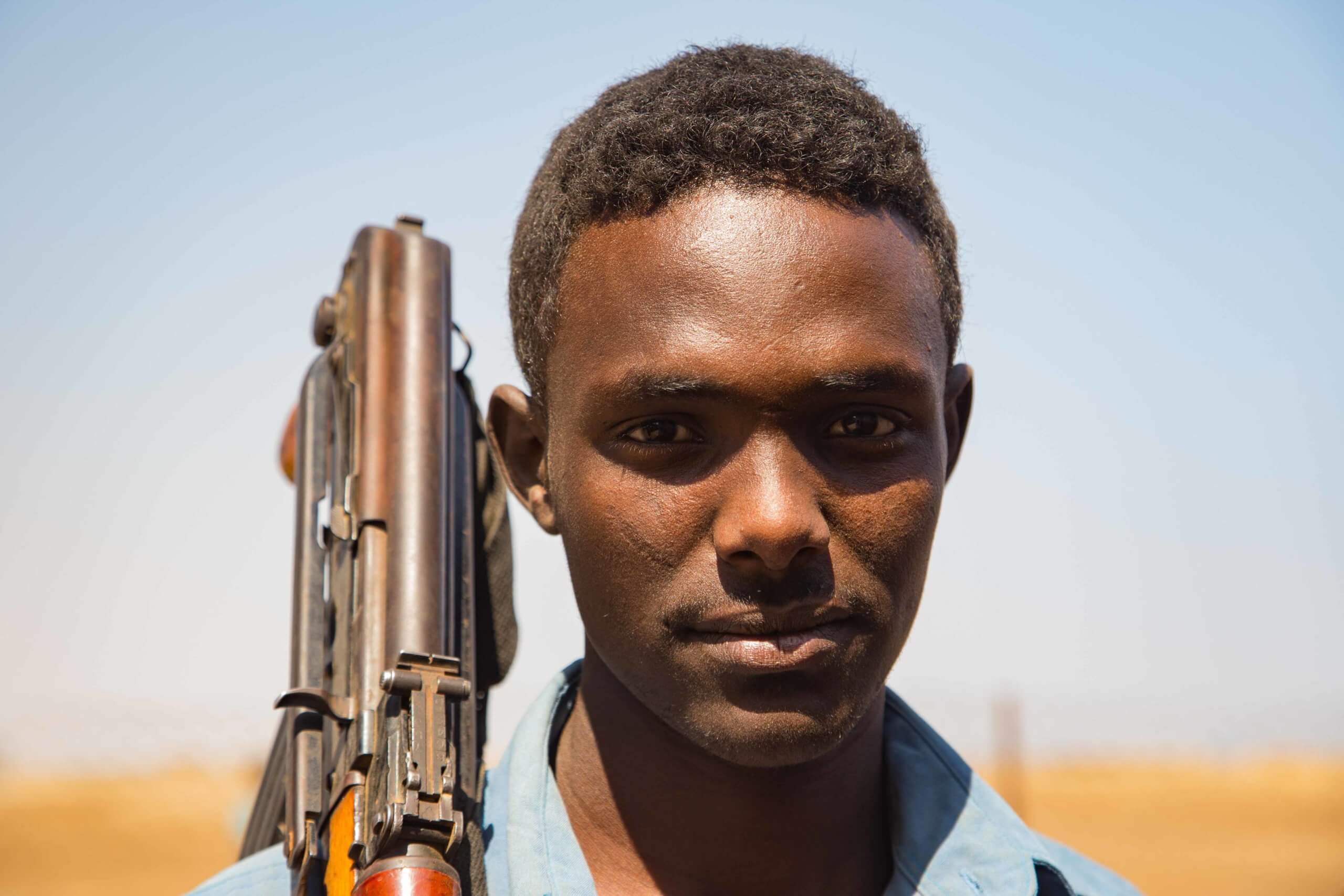
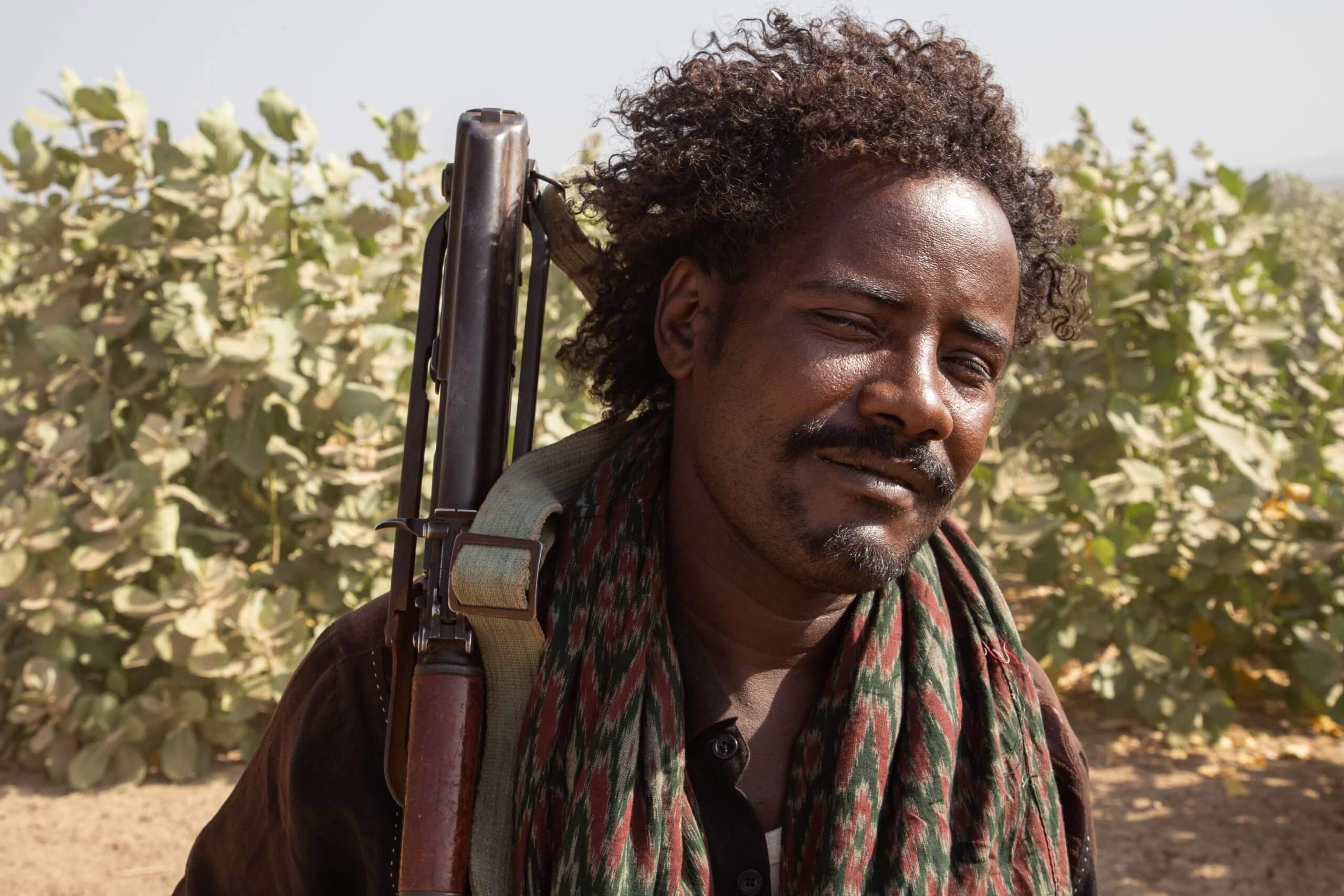
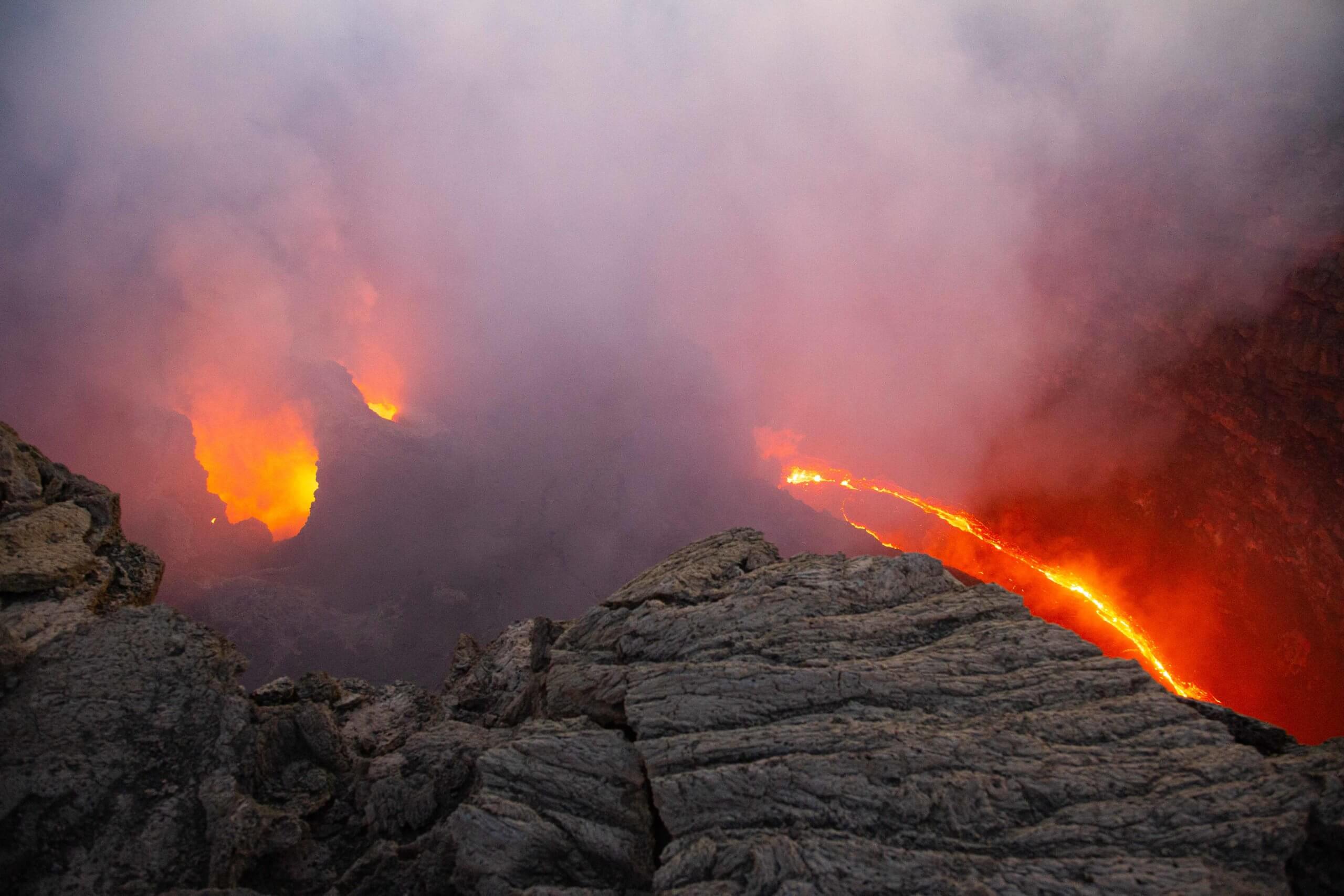
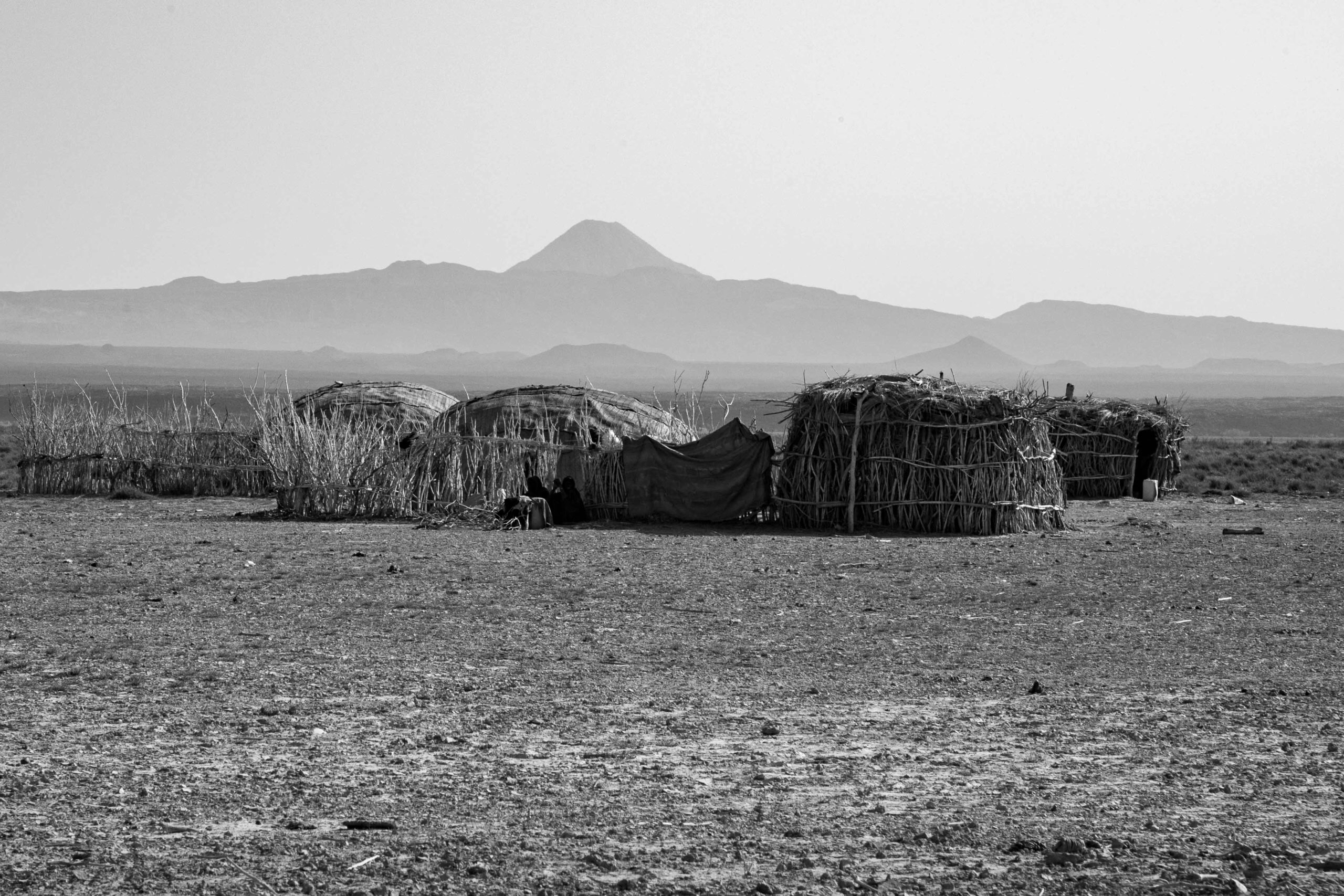
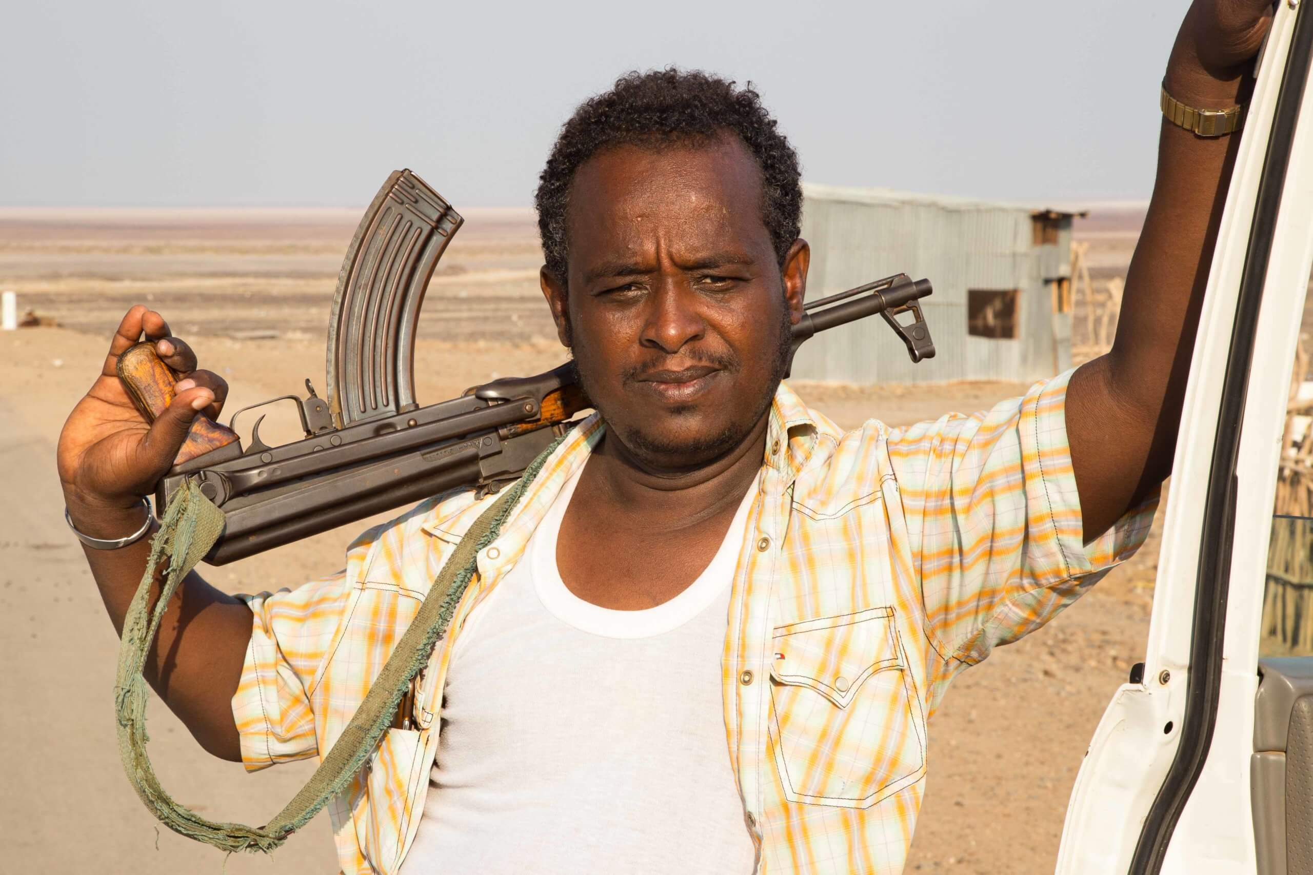
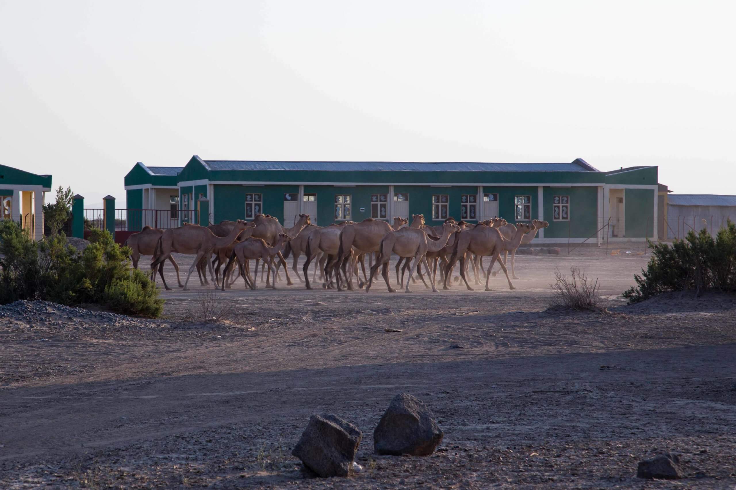
Bordering Eritrea, the depression reaches its lowest point at Dallol, –125m below sea level. With year-round average temperatures above +35°C, it is considered the hottest inhabited place on the planet. Running through its centre are around a dozen basaltic shield volcanoes; the tallest is Ale Bagu (1,031m). The most visited is Erta Ale (613m), largely because the only village in the area, Ksrawat, lies at its base. Reaching other volcanoes, such as Borale Ale (668m), Alu (429m), and Dalaffilla (613m), is far more challenging due to limited tracks and security risks posed by Afar rebel groups near the Eritrean border.
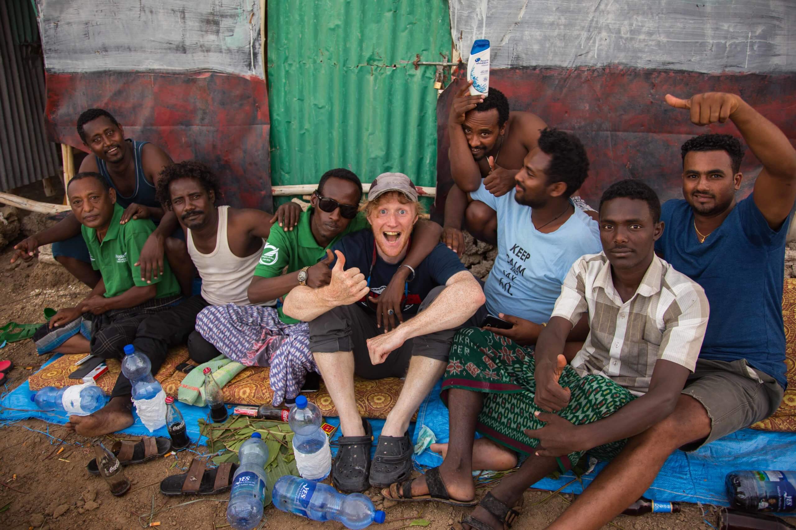
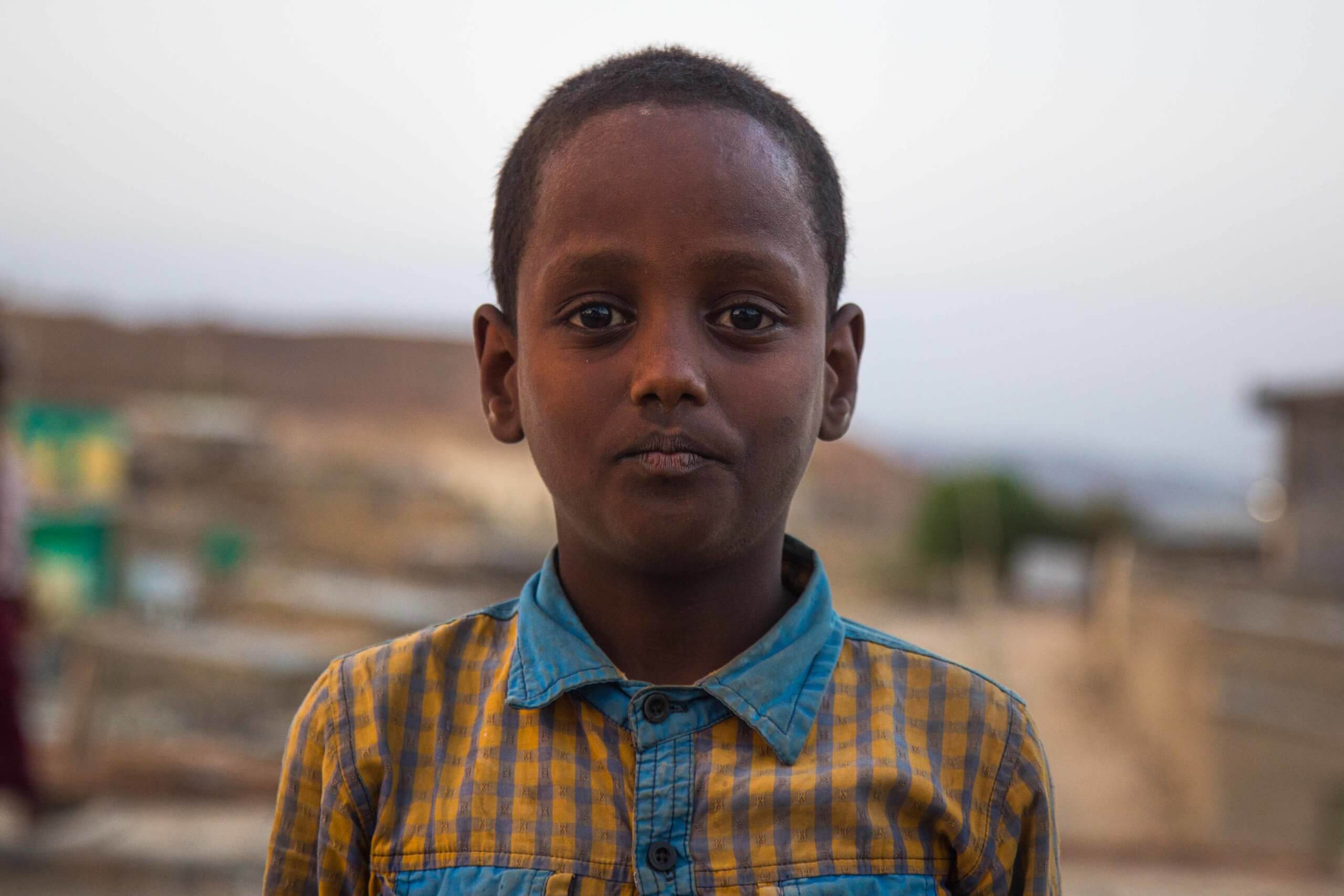
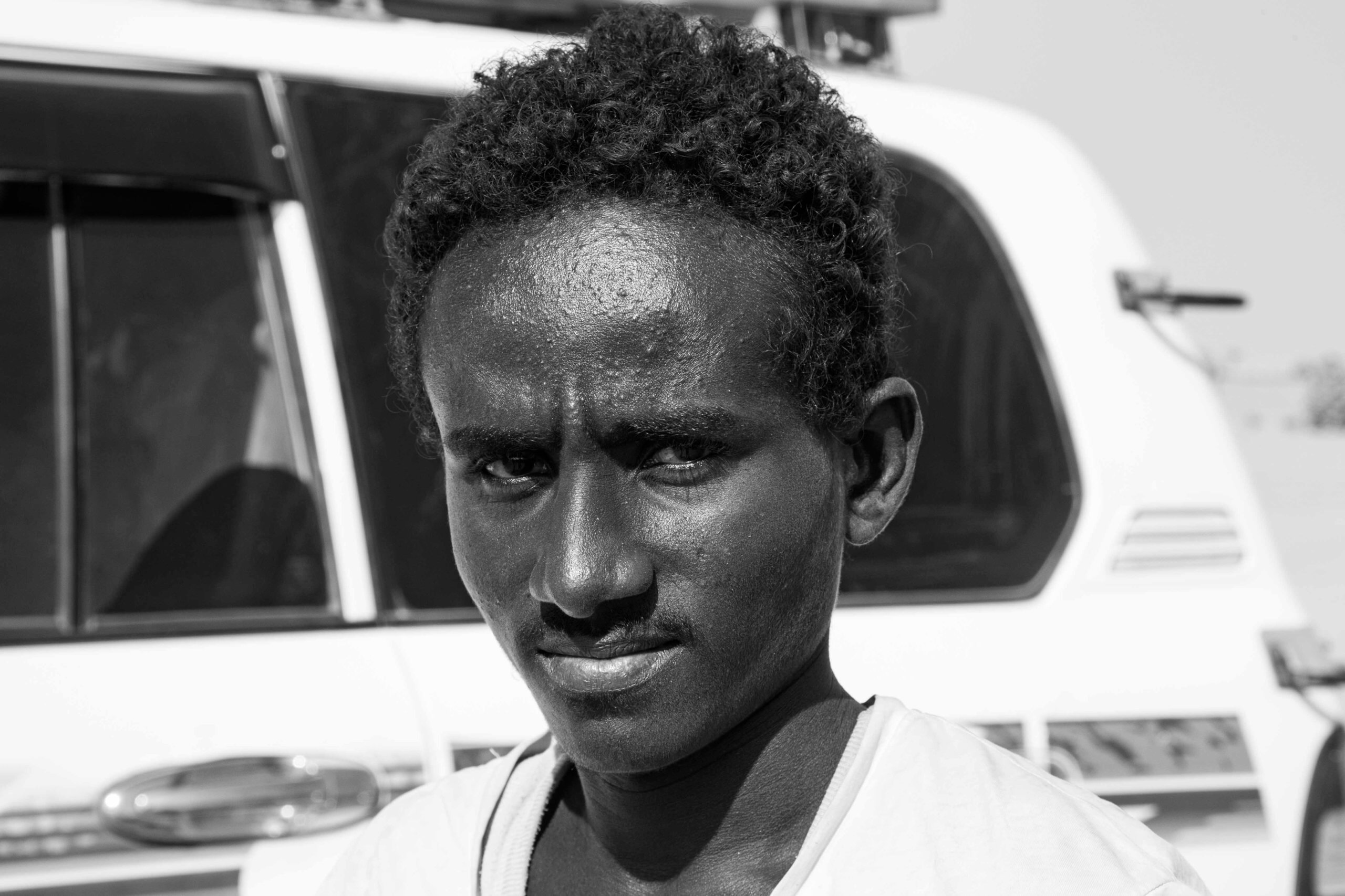
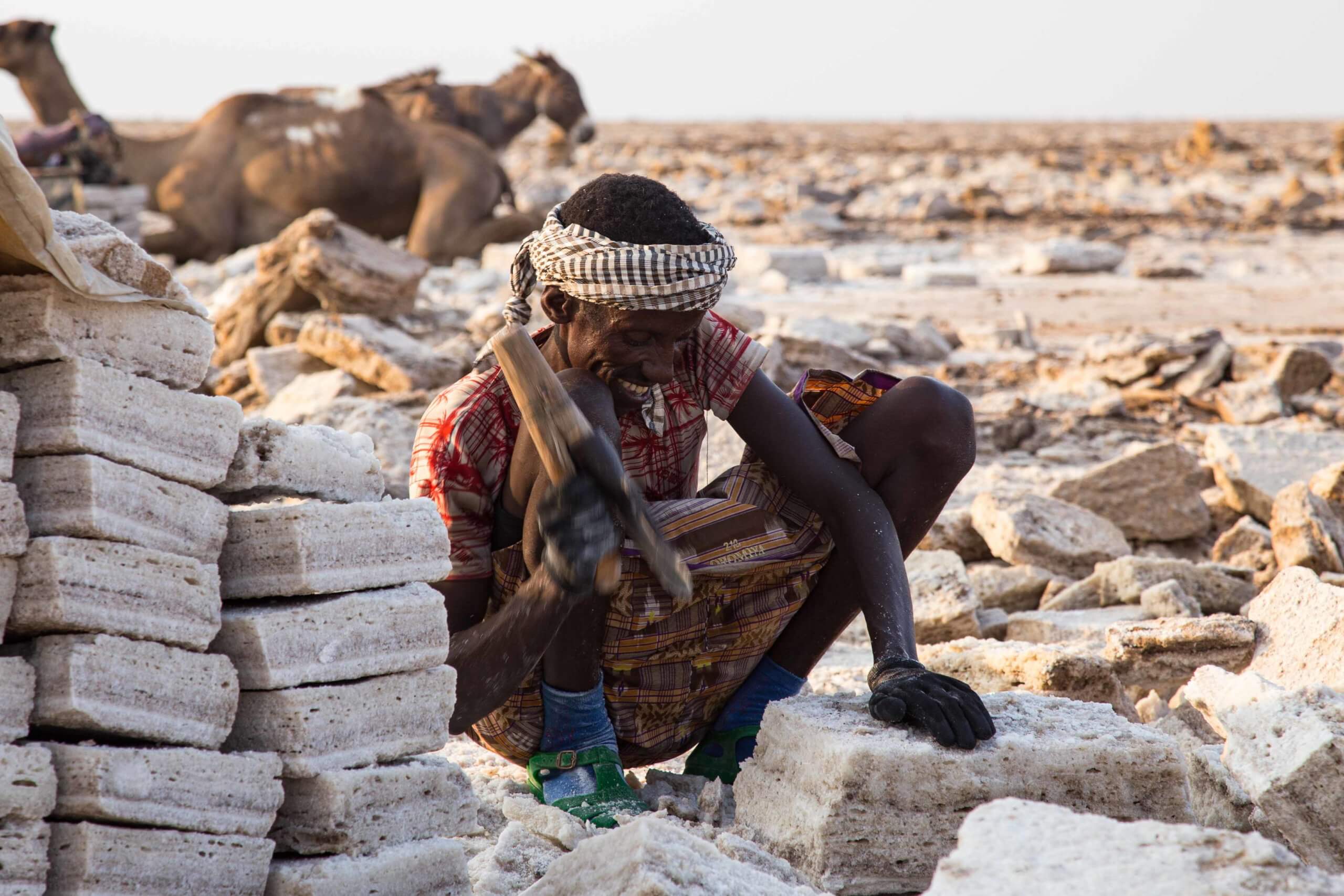
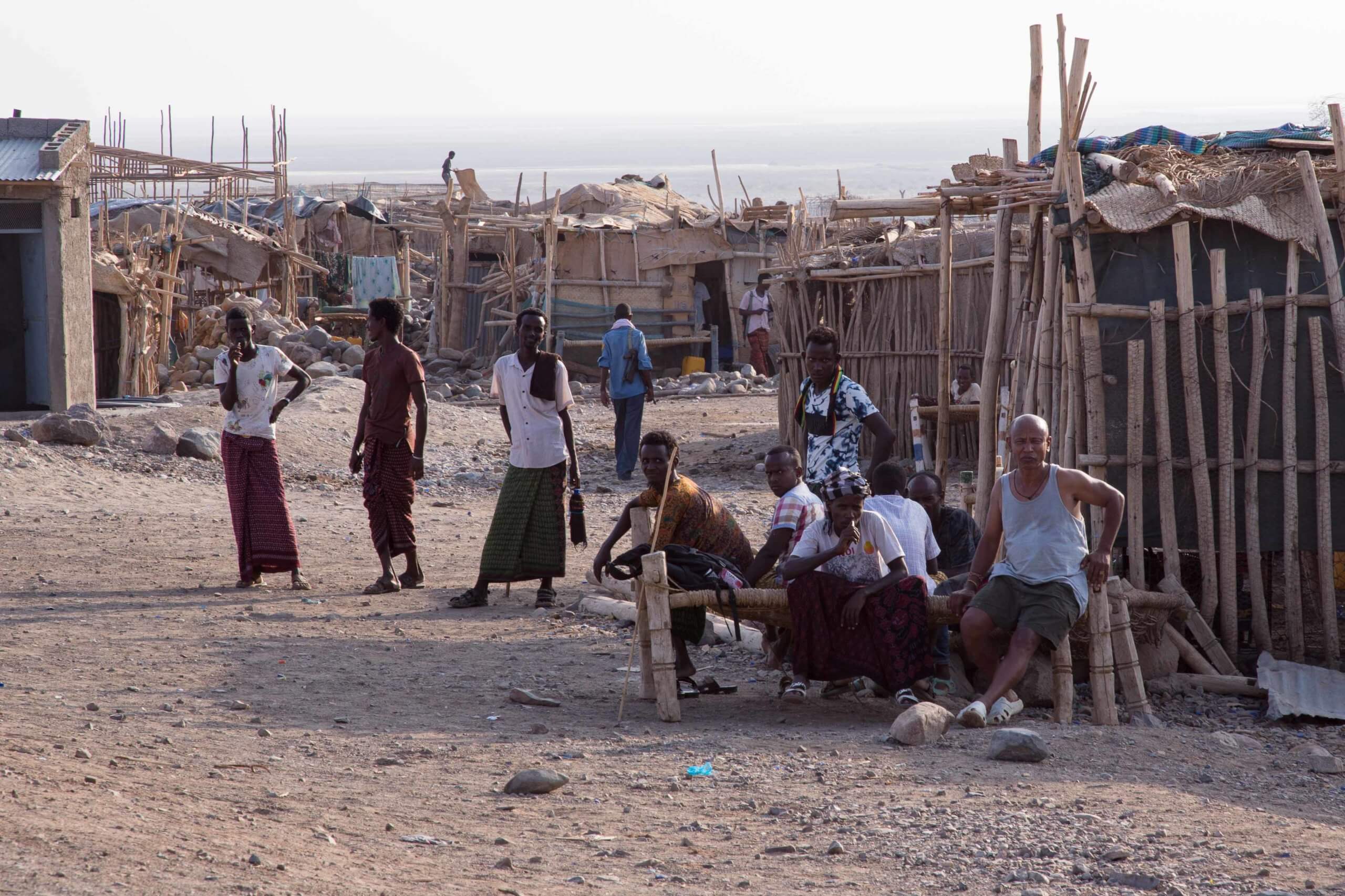
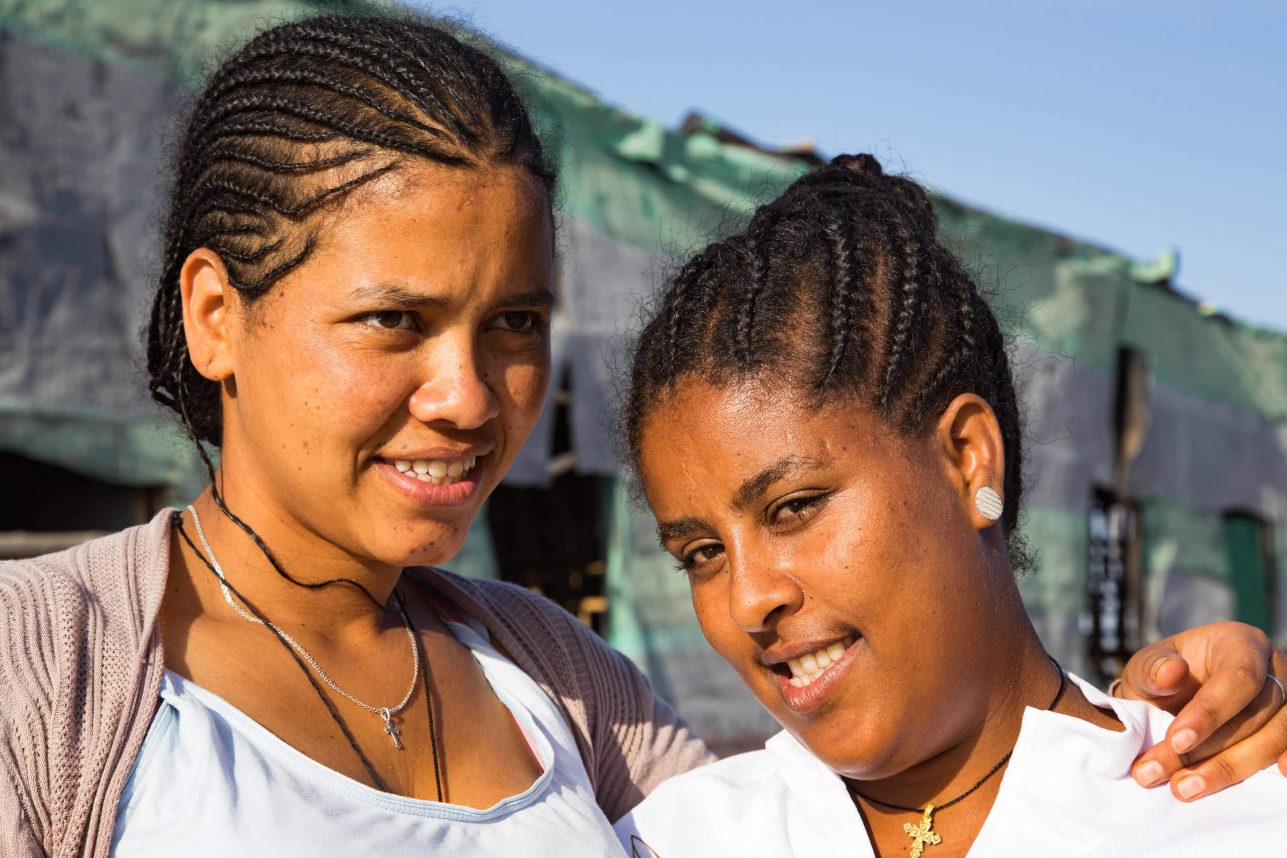
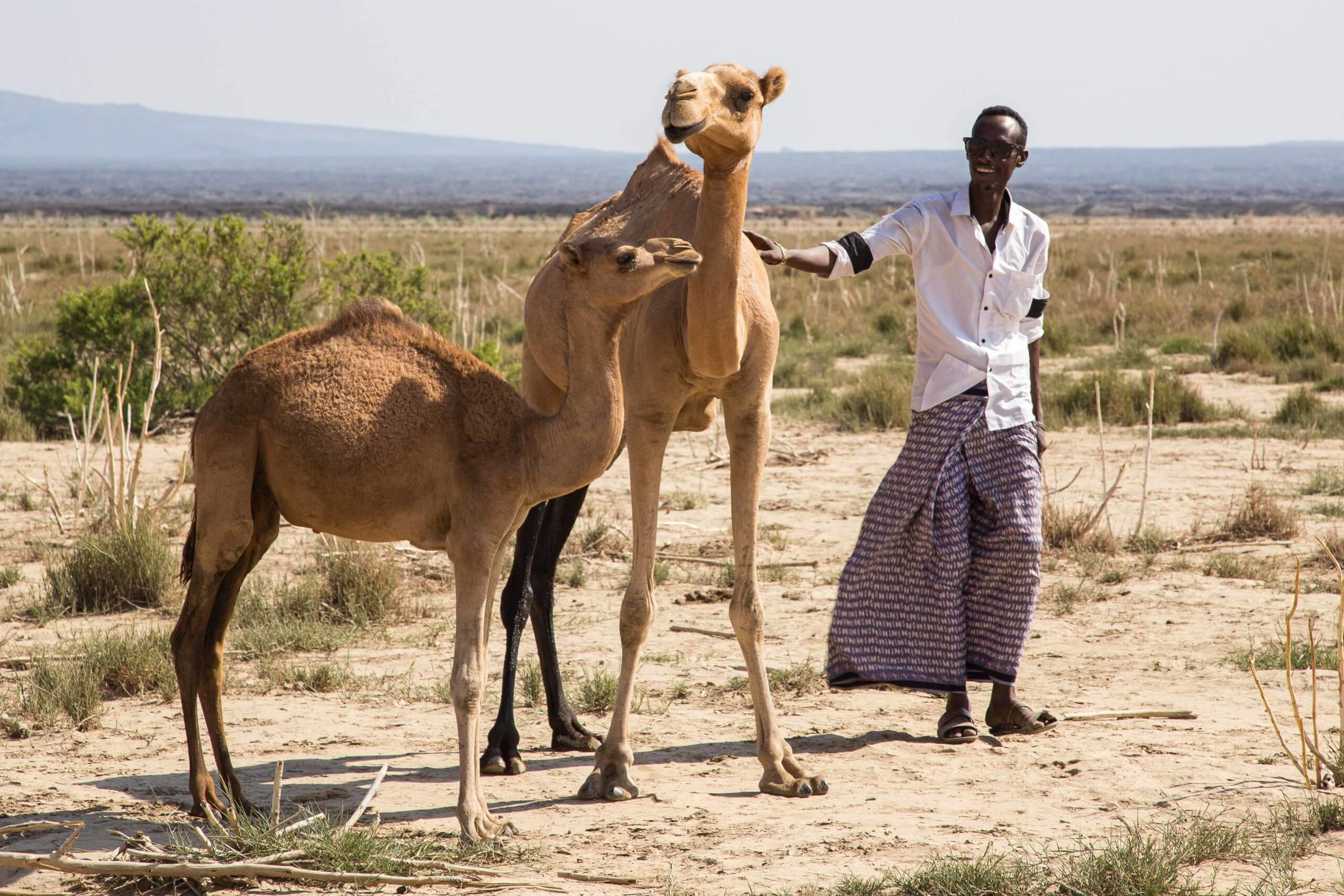
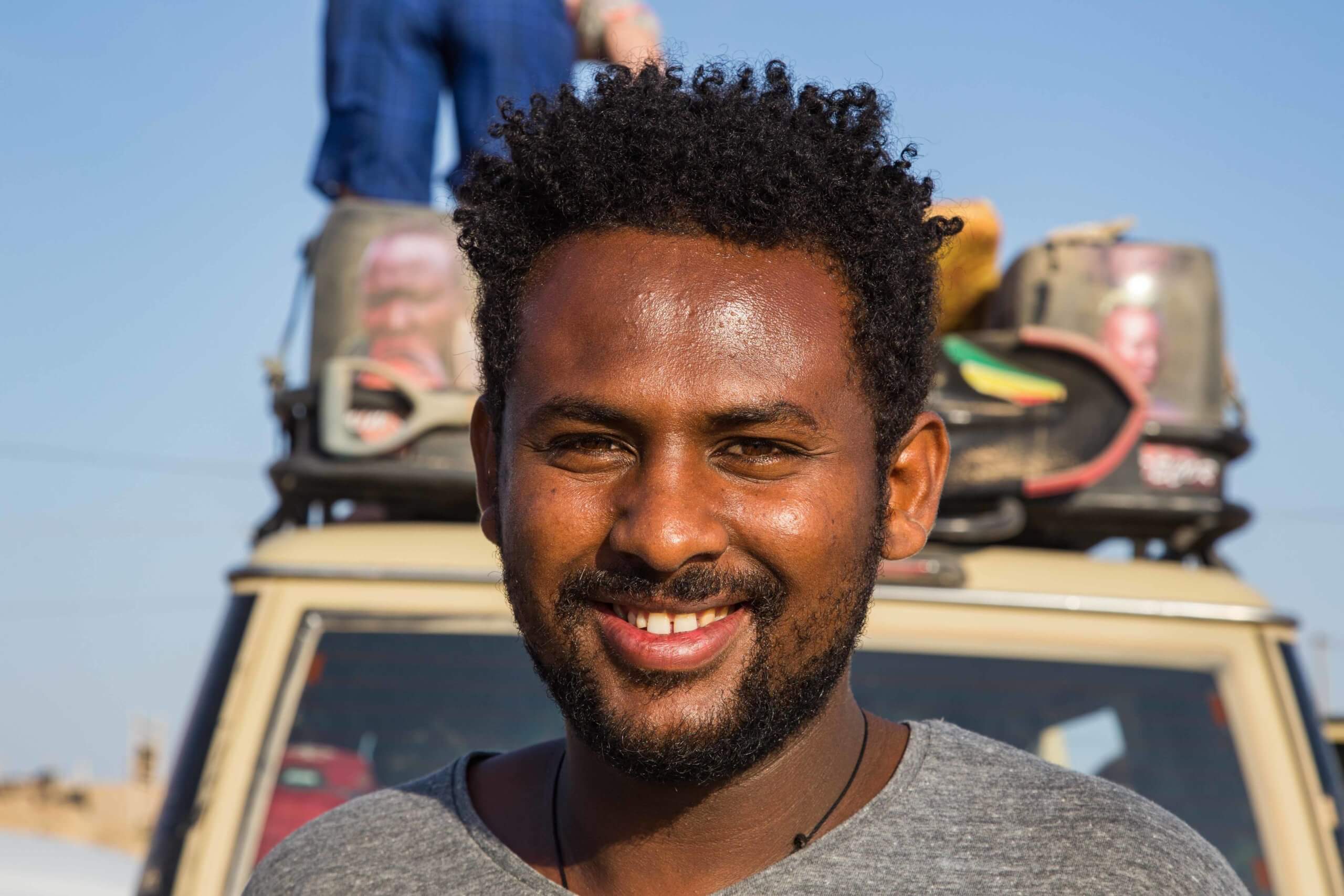
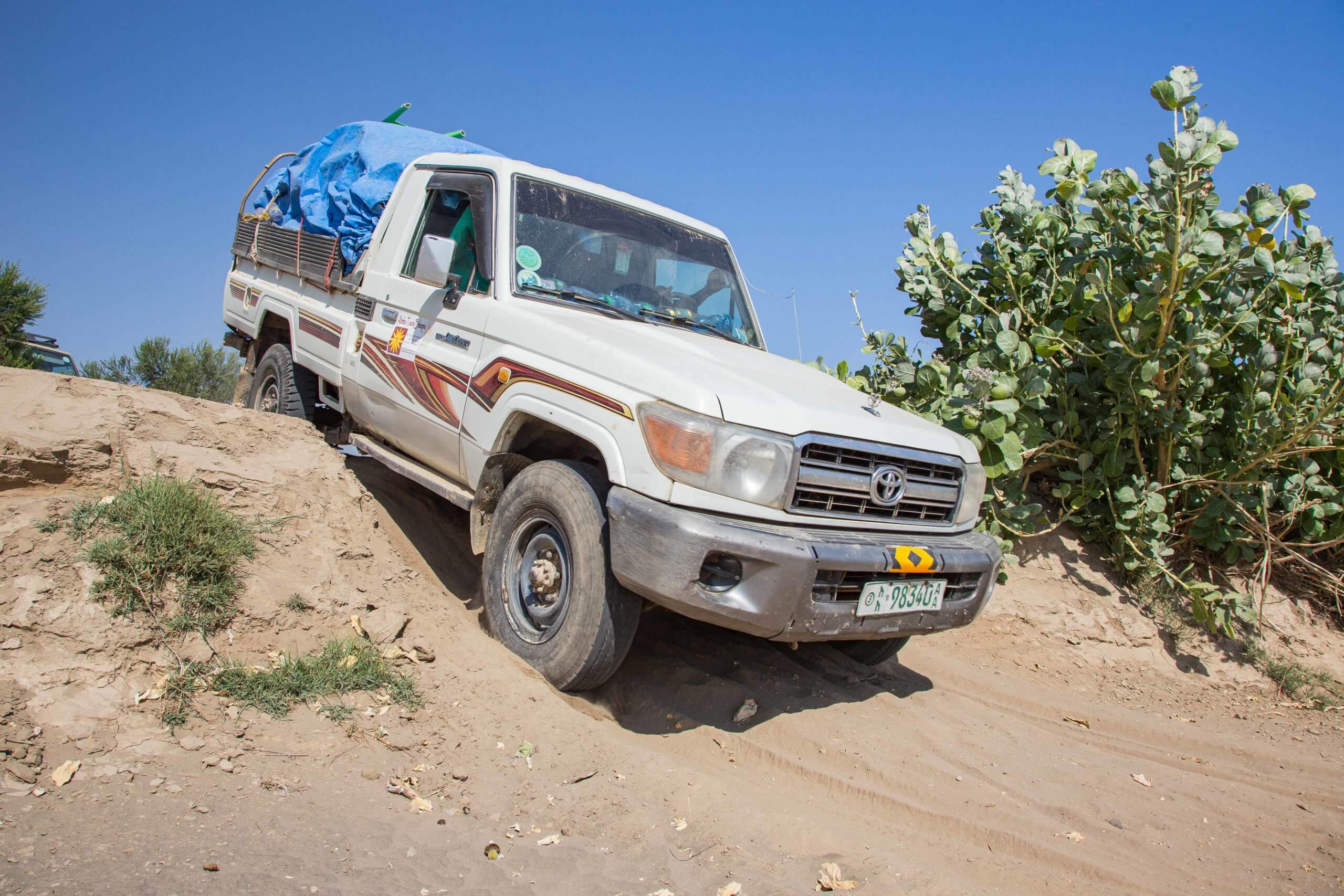
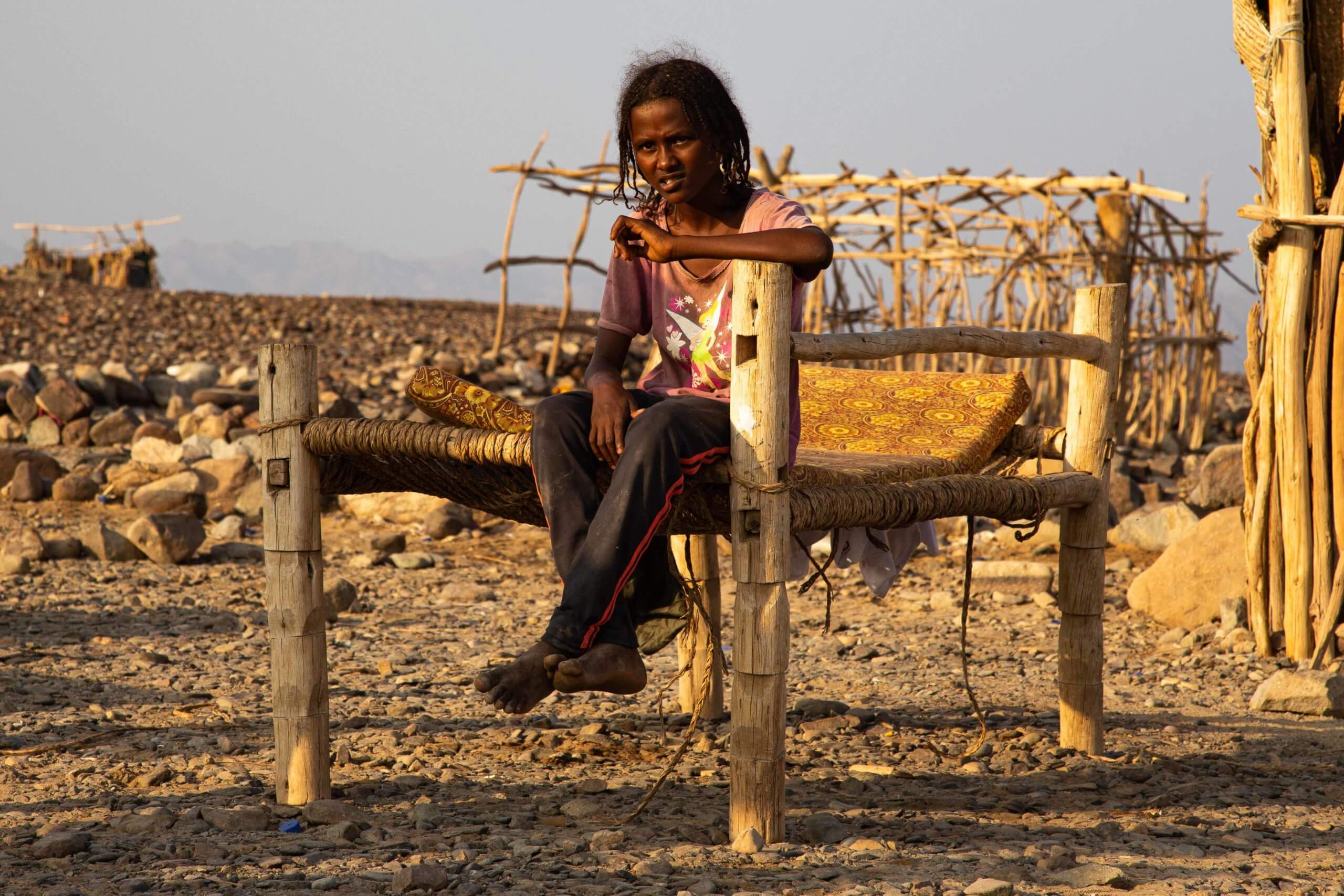
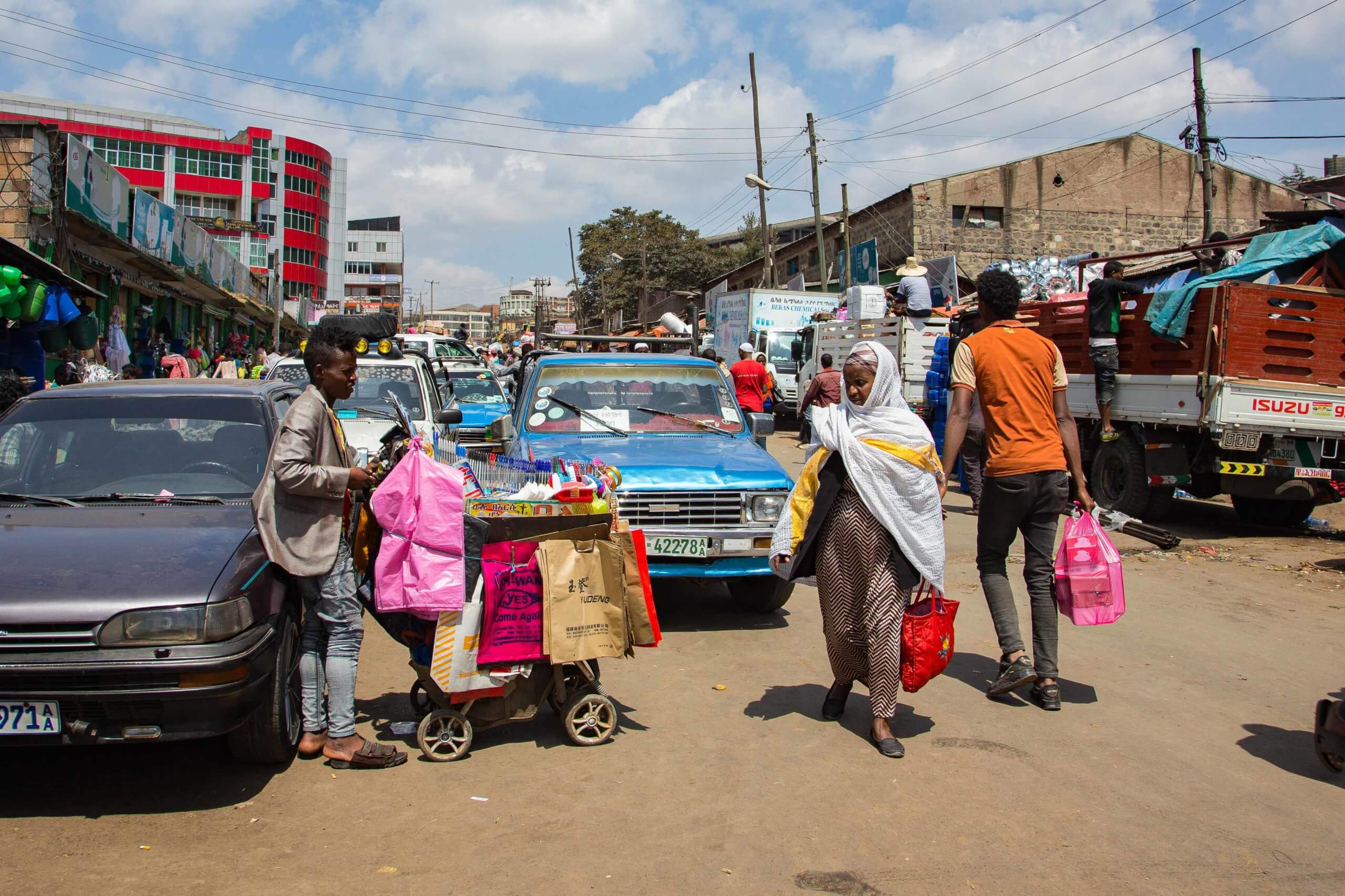
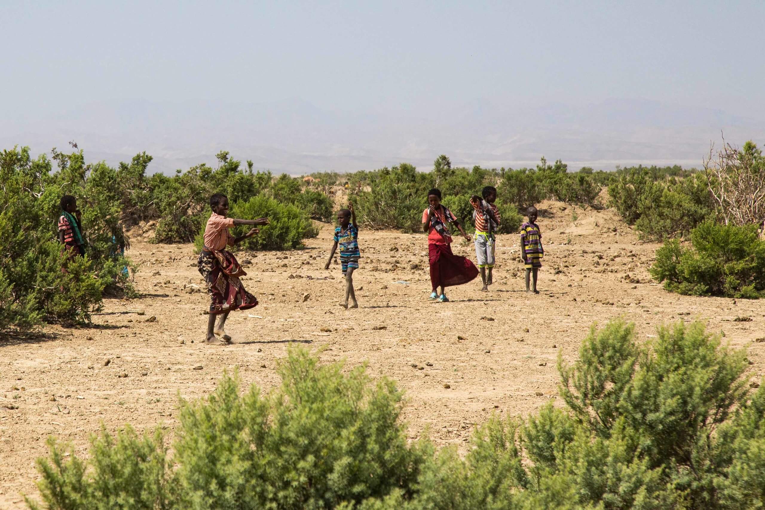
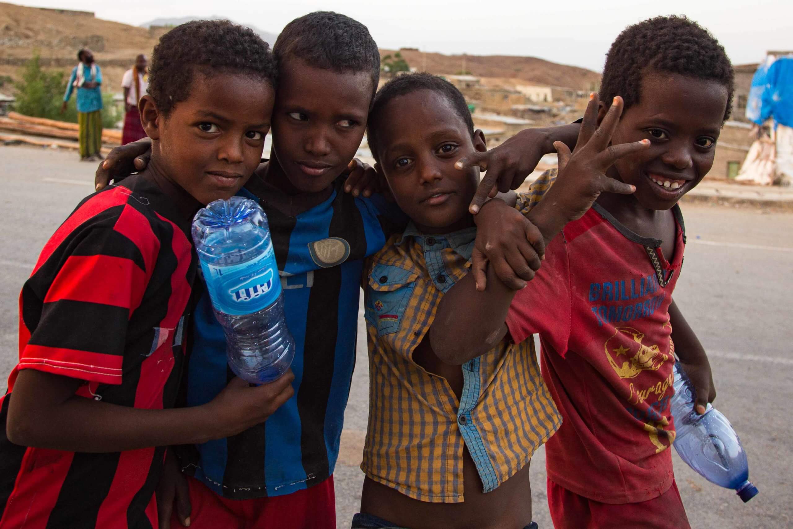
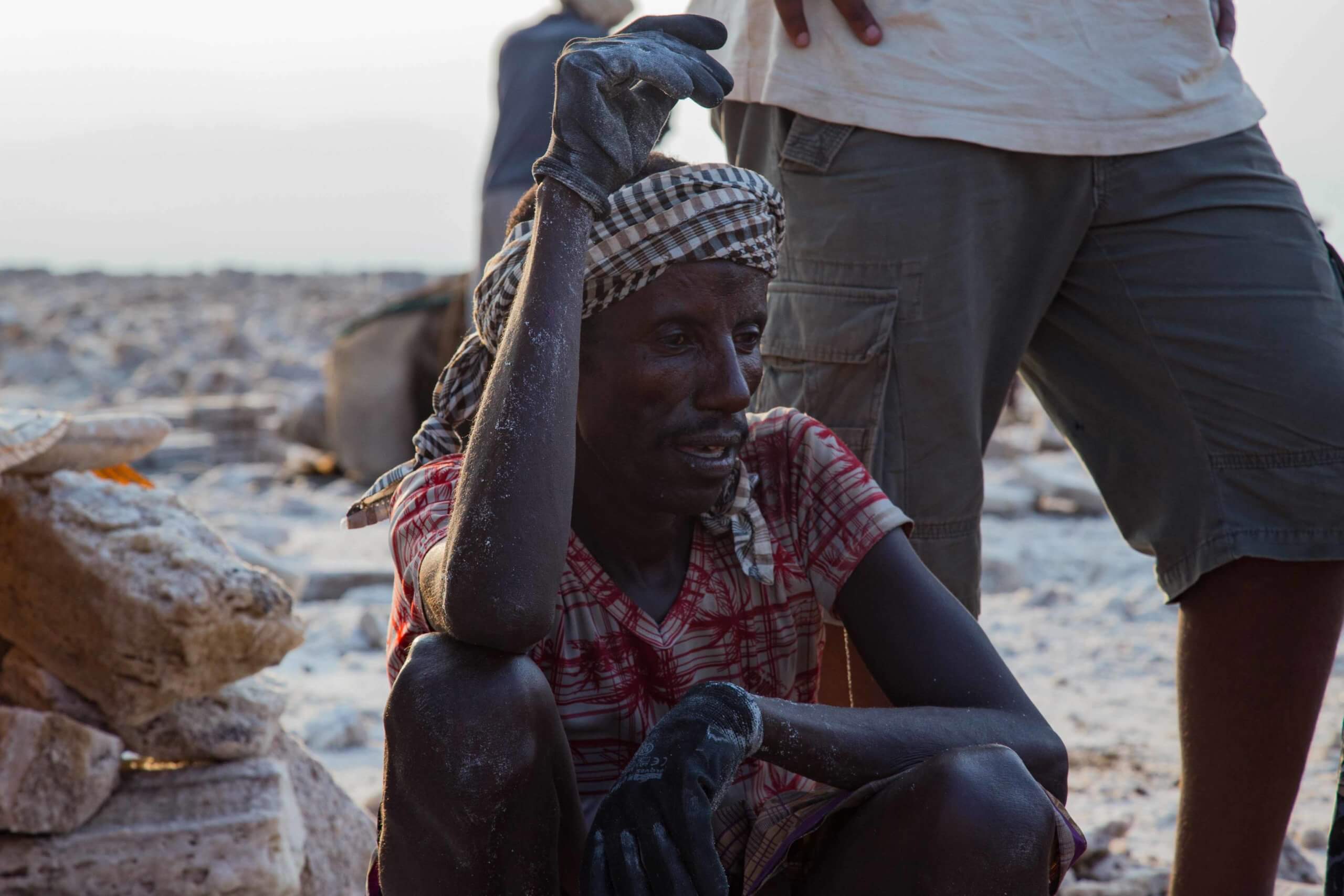
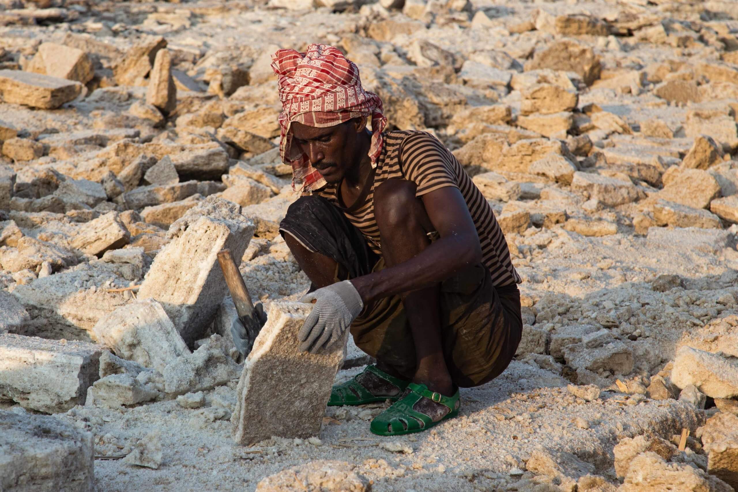
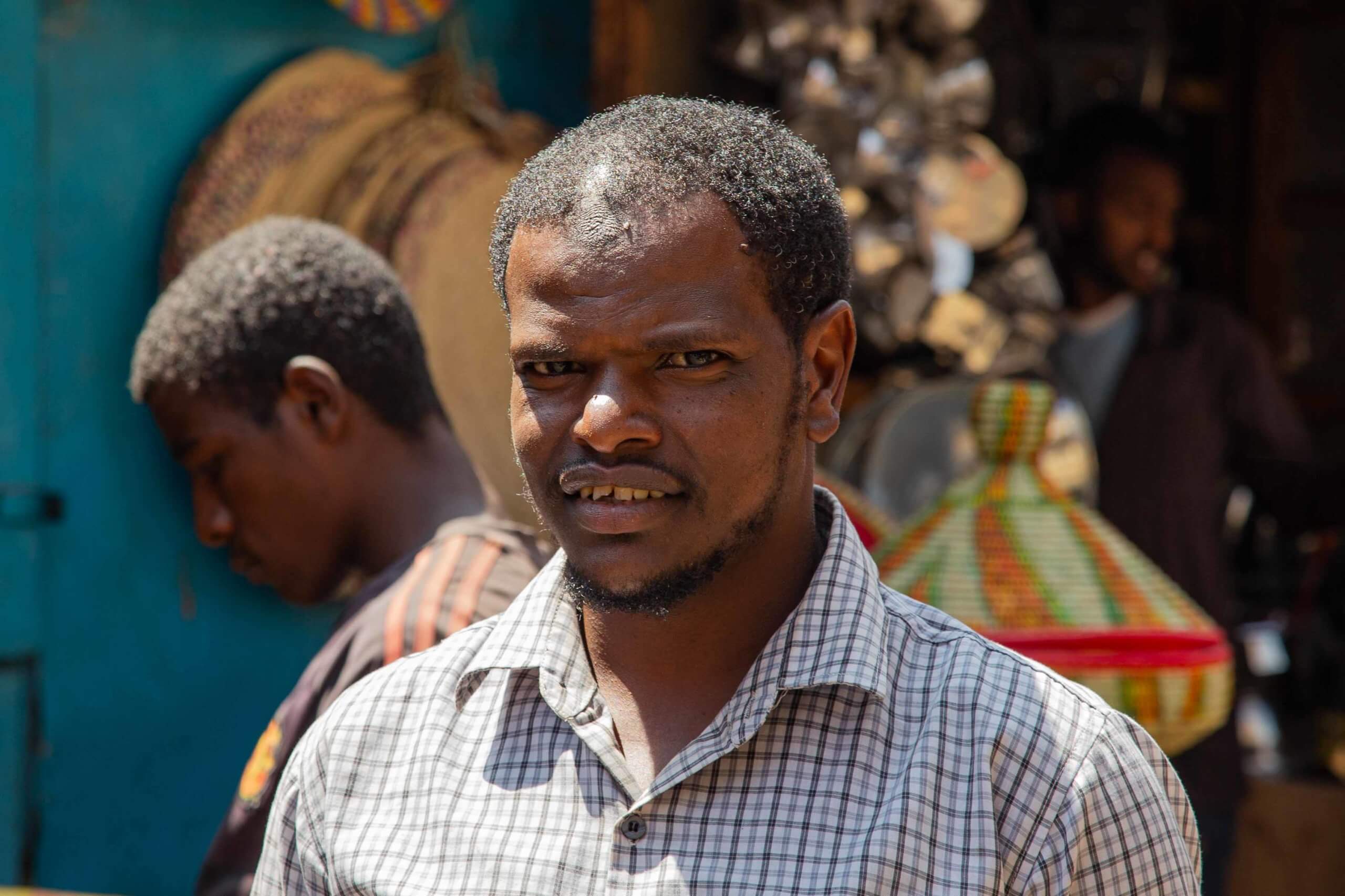
For portraits and scenes of Afar communities, see Eric Lafforgue’s collection on Atlas of Humanity. Travel in the Danakil requires permits, a licensed guide, and armed security, making independent exploration extremely difficult. These photographs offer a glimpse into the harsh, otherworldly environment that awaits visitors.