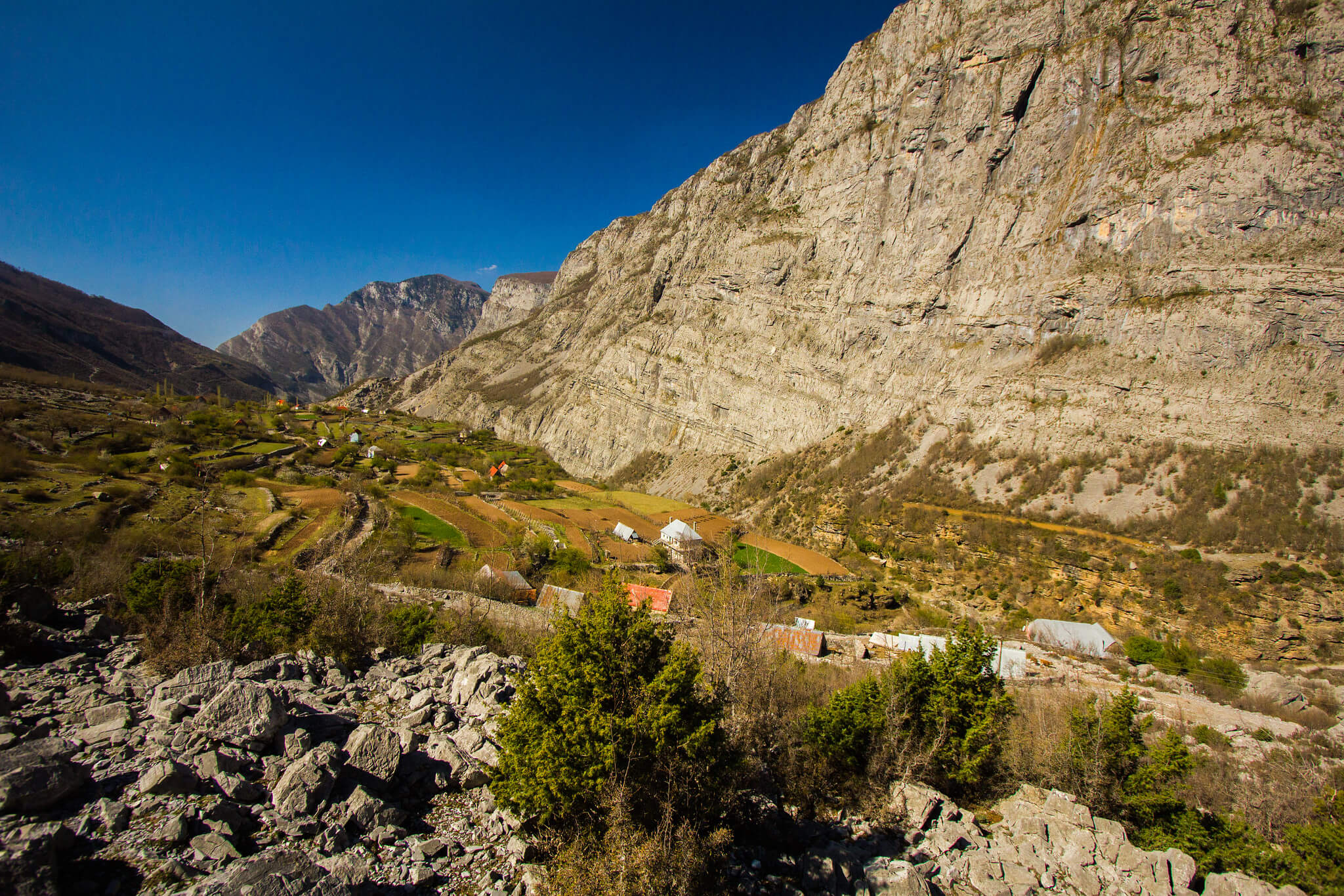
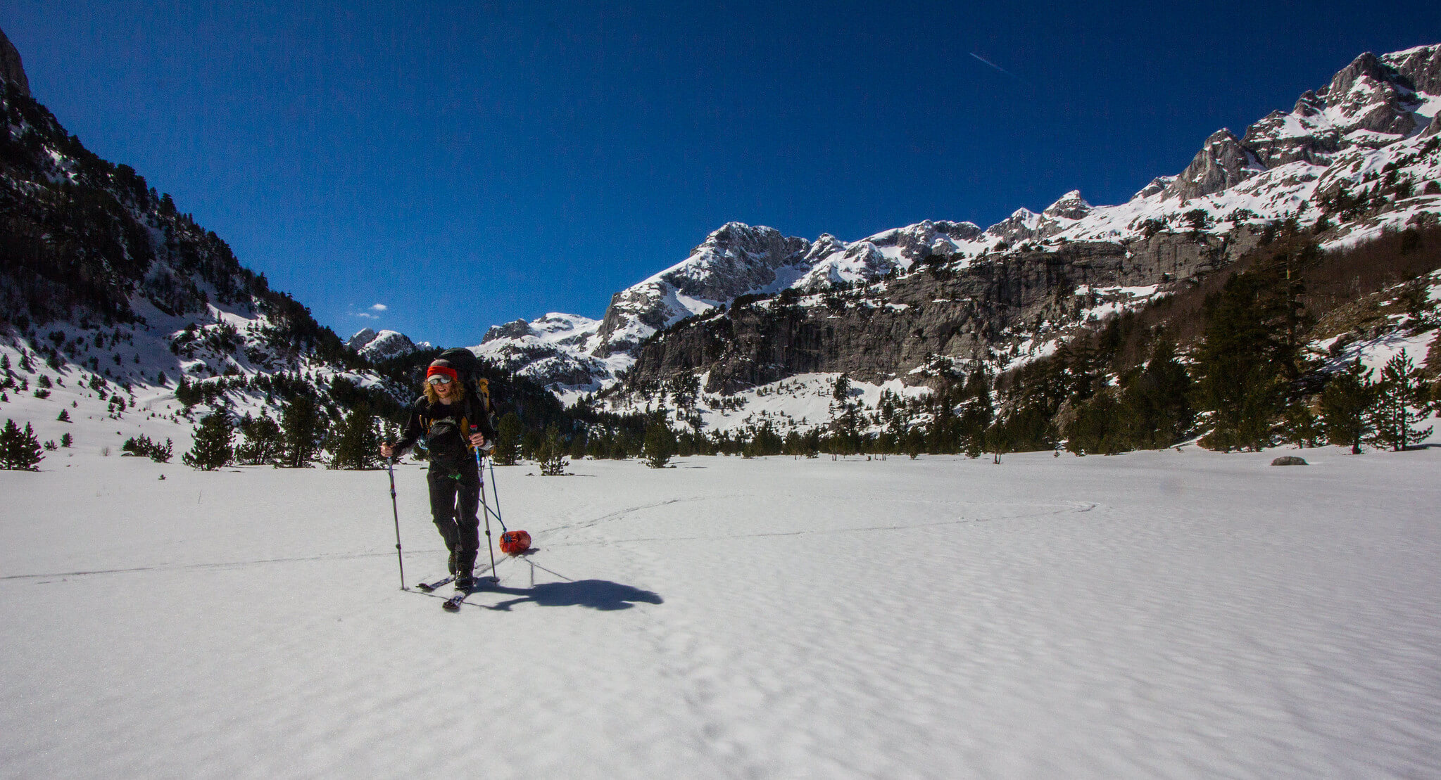
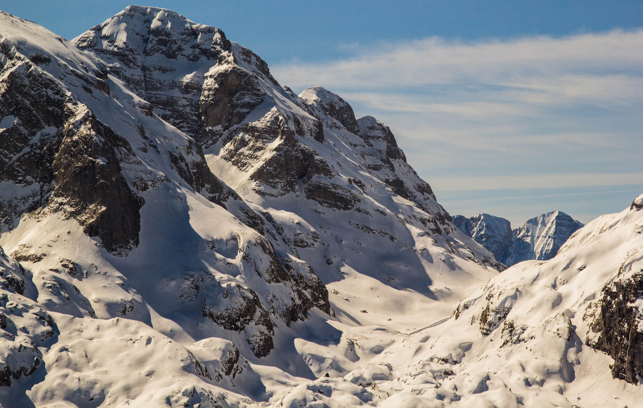
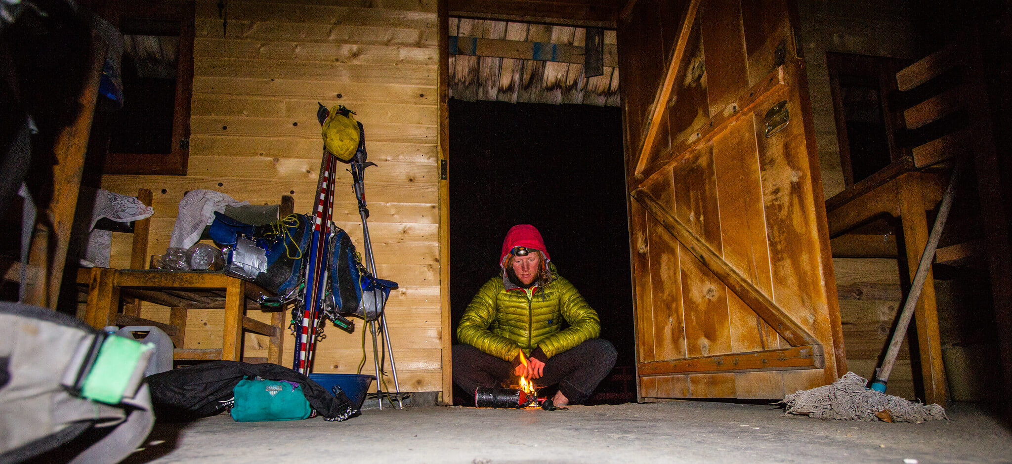
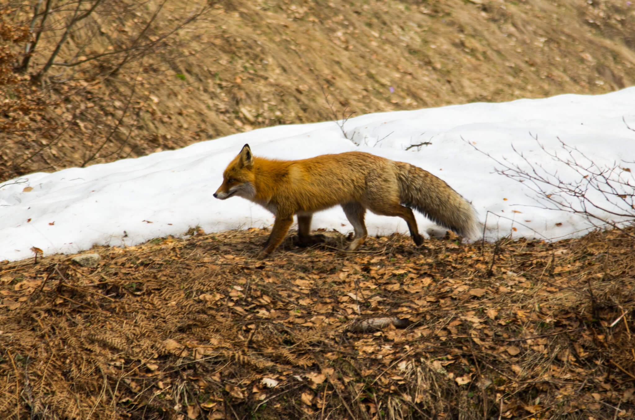
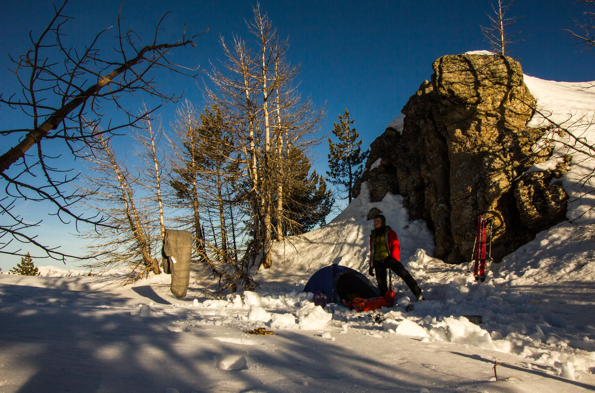
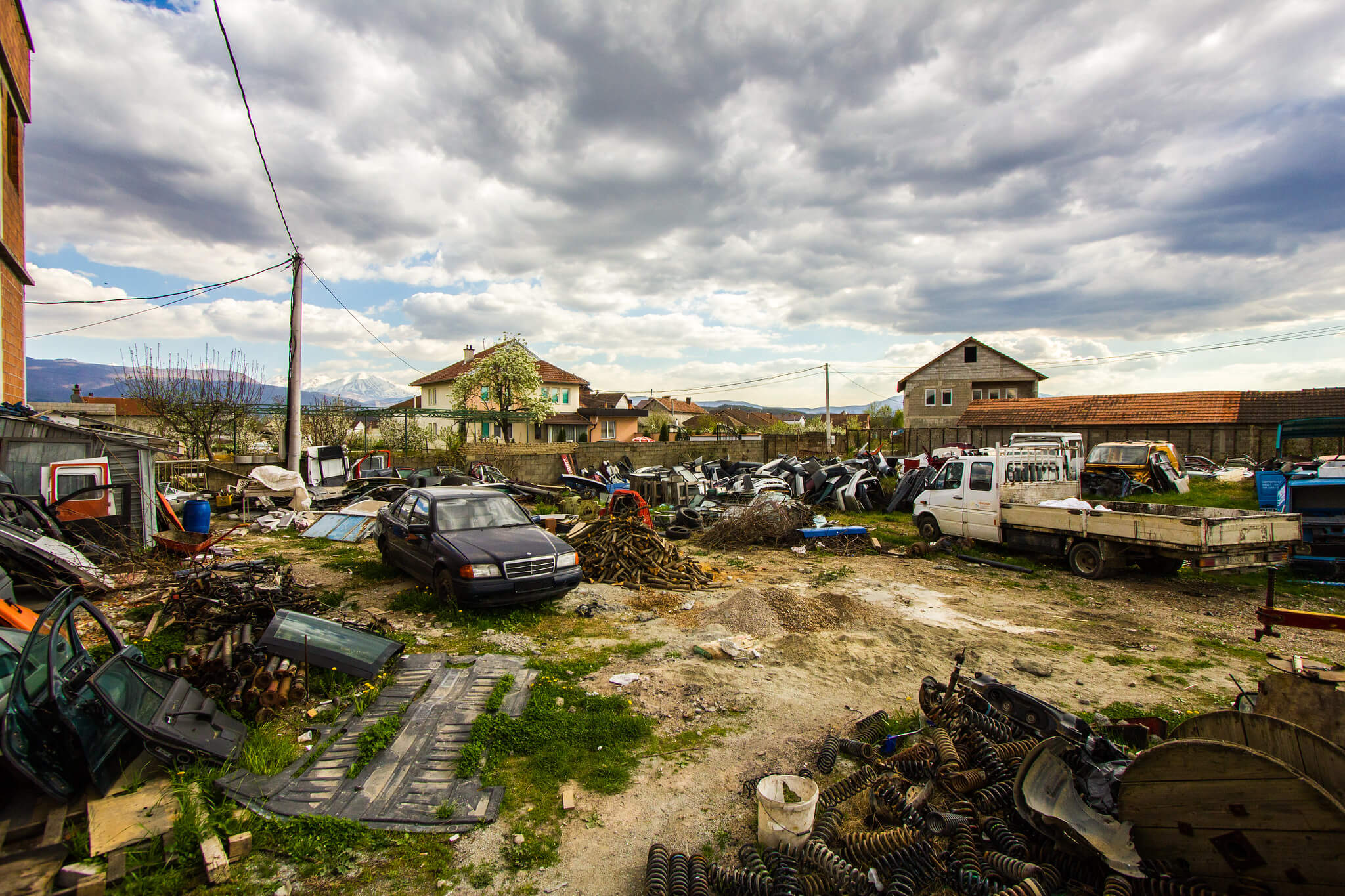
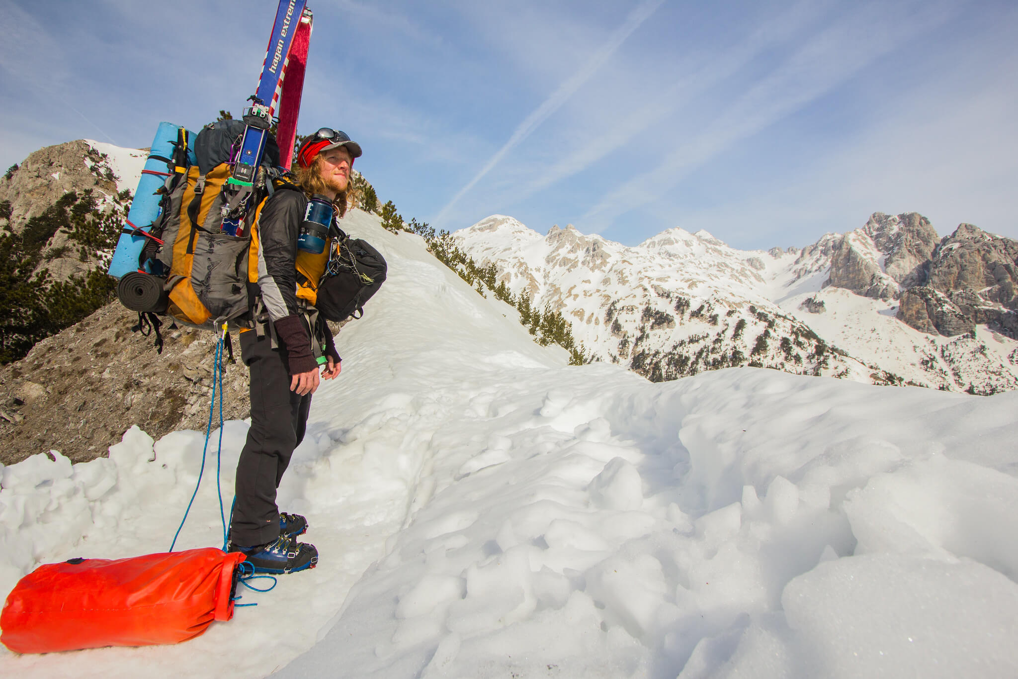
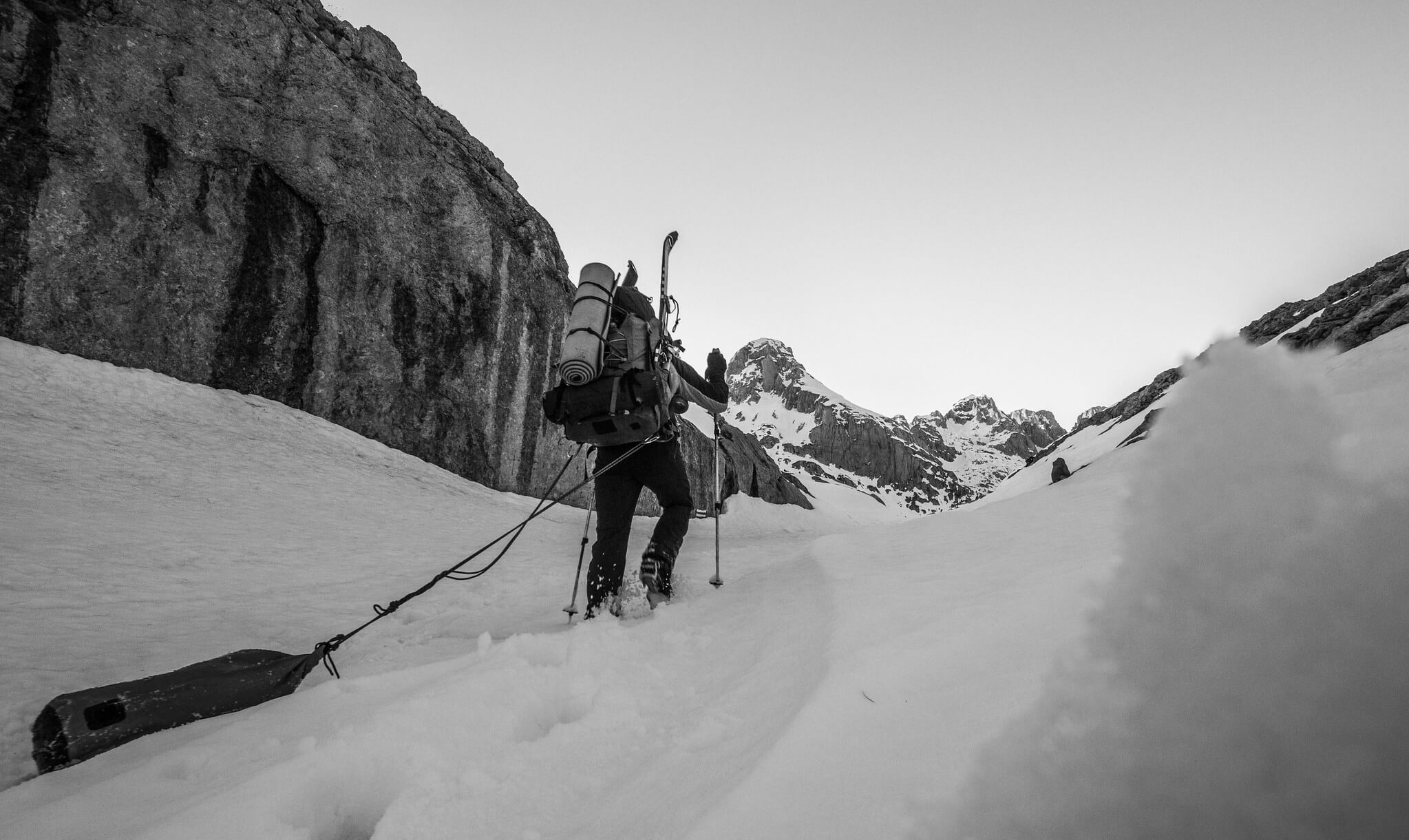
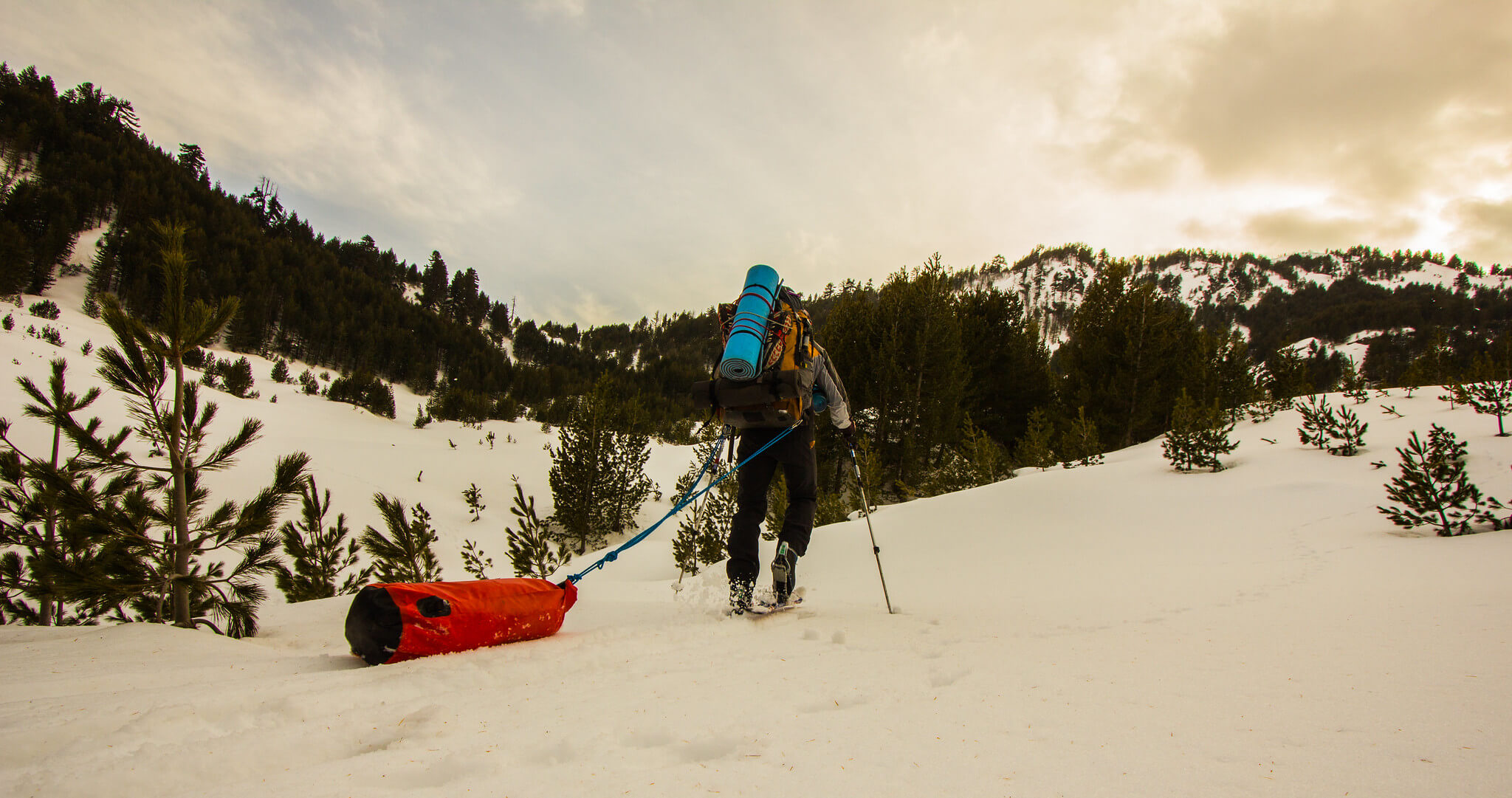
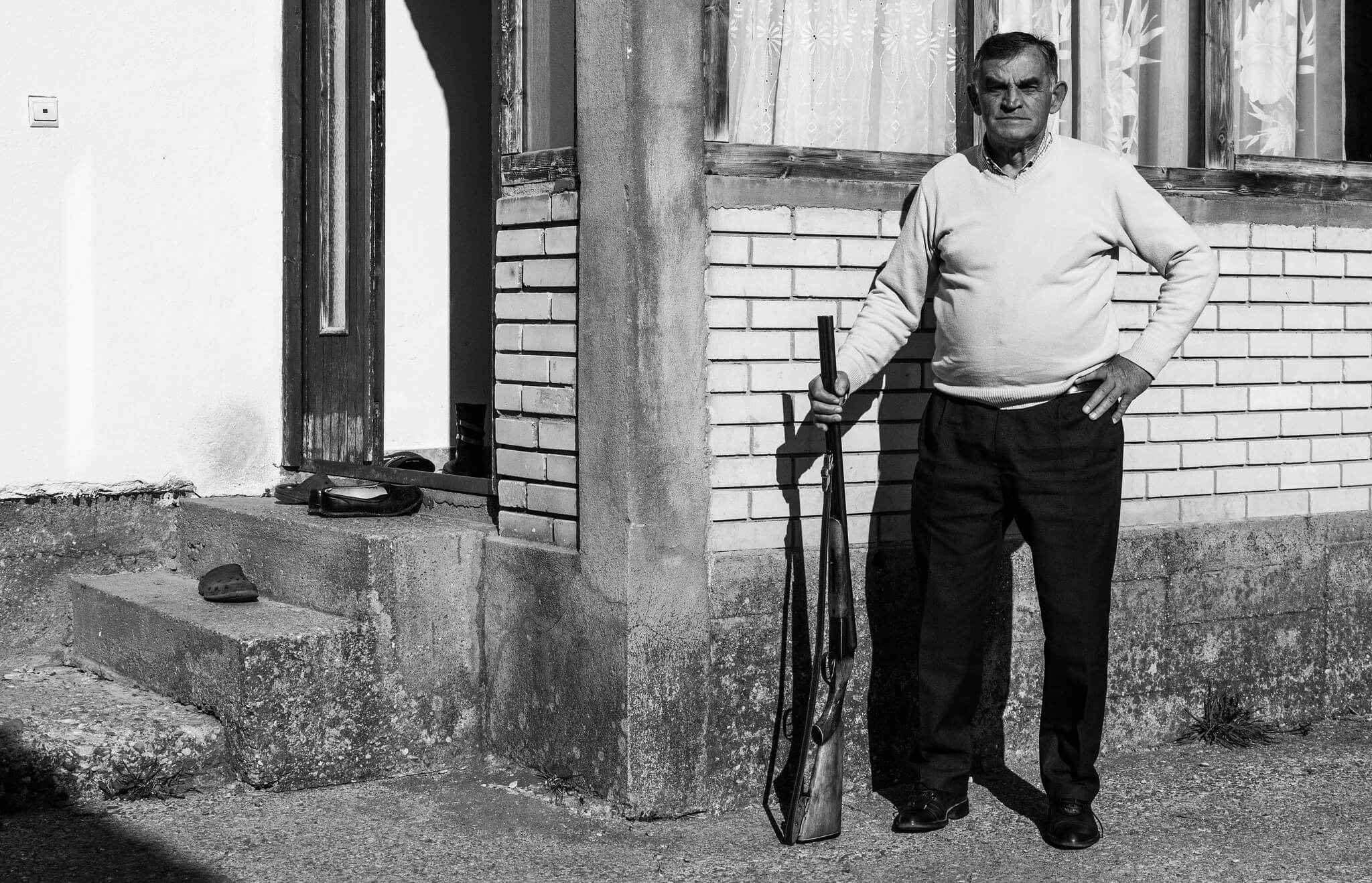
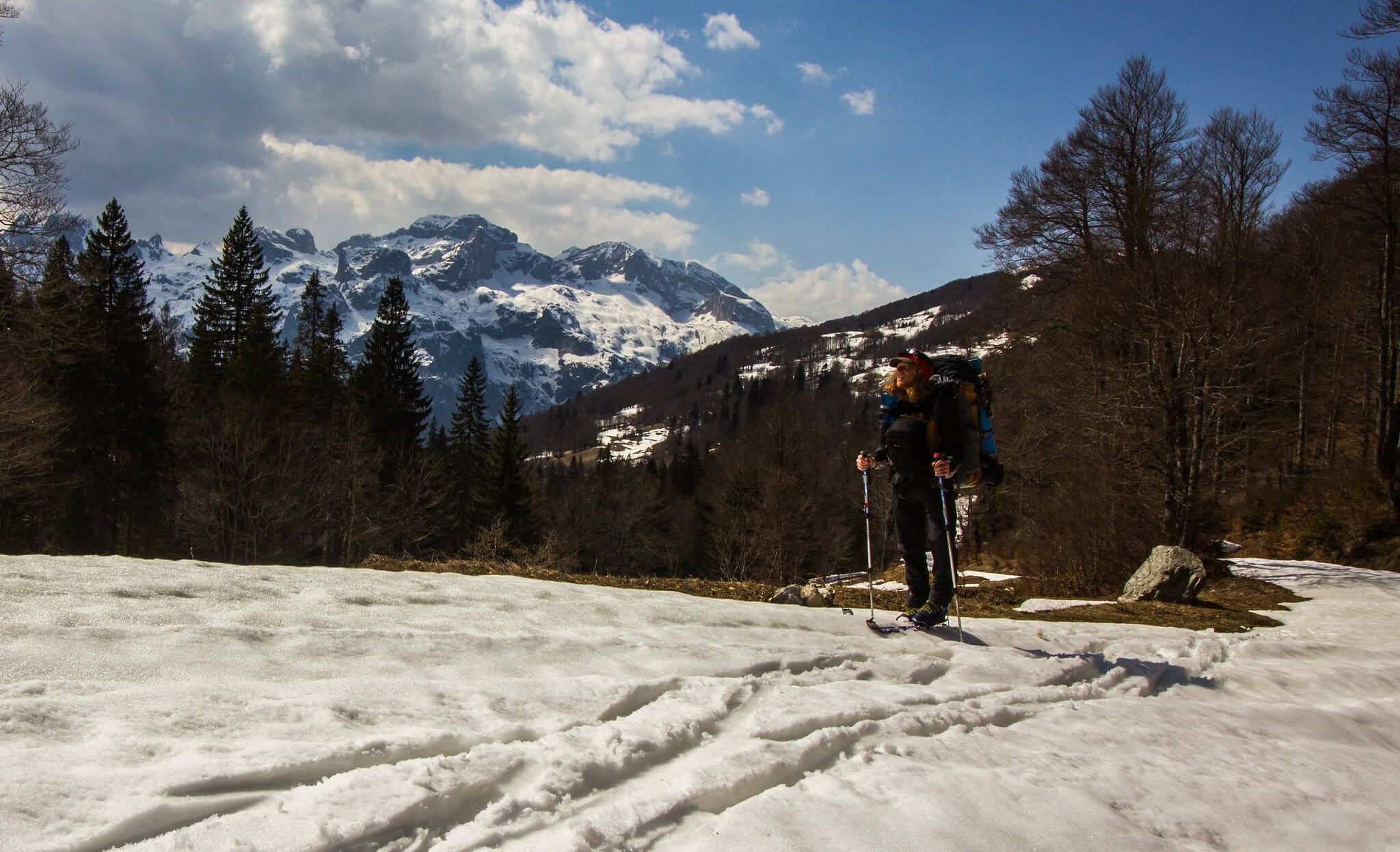
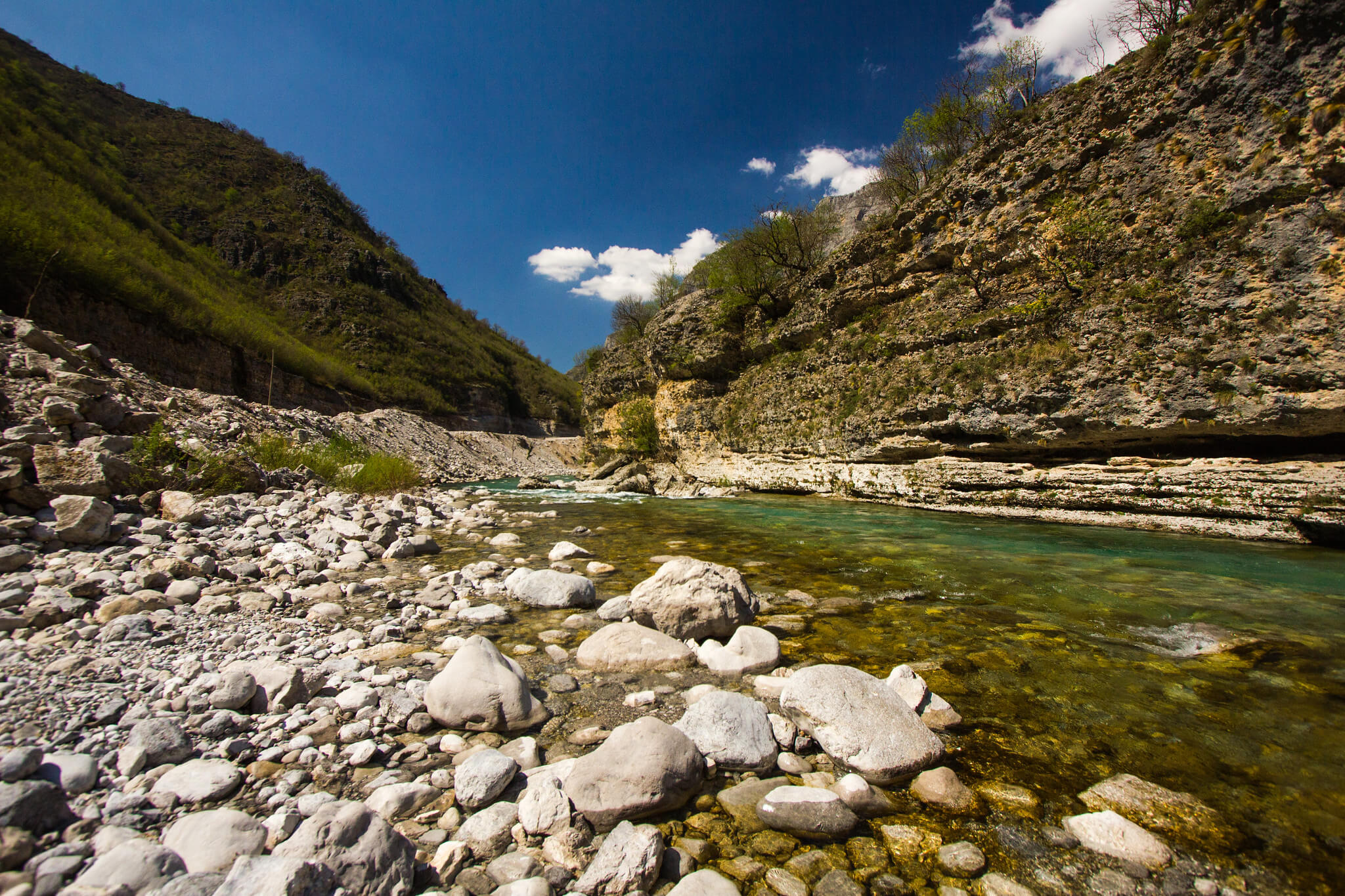
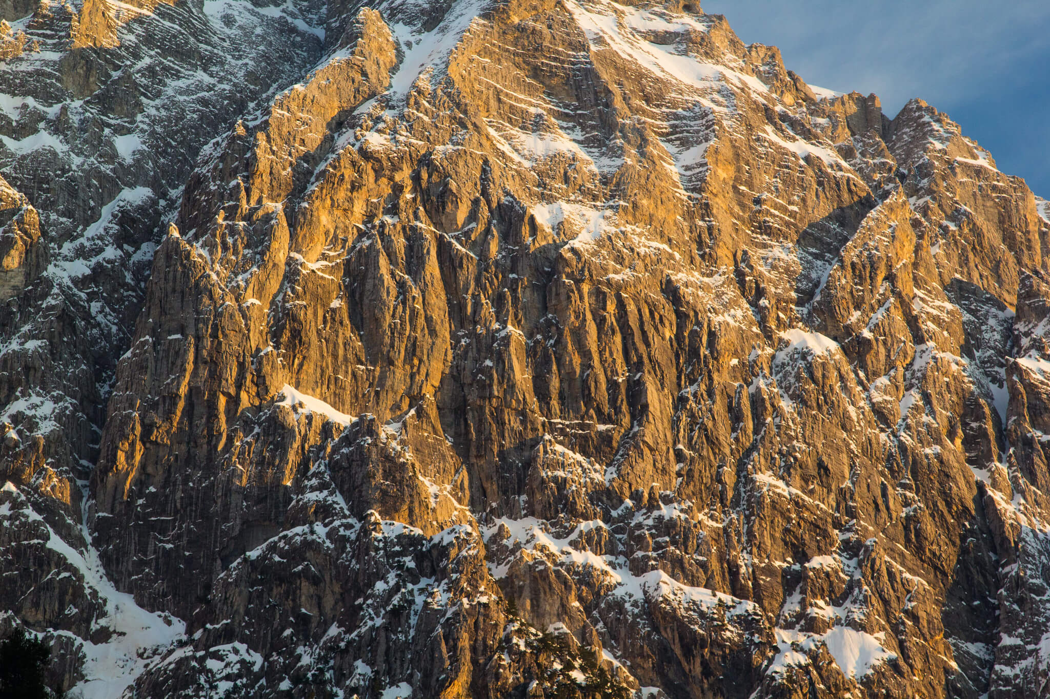
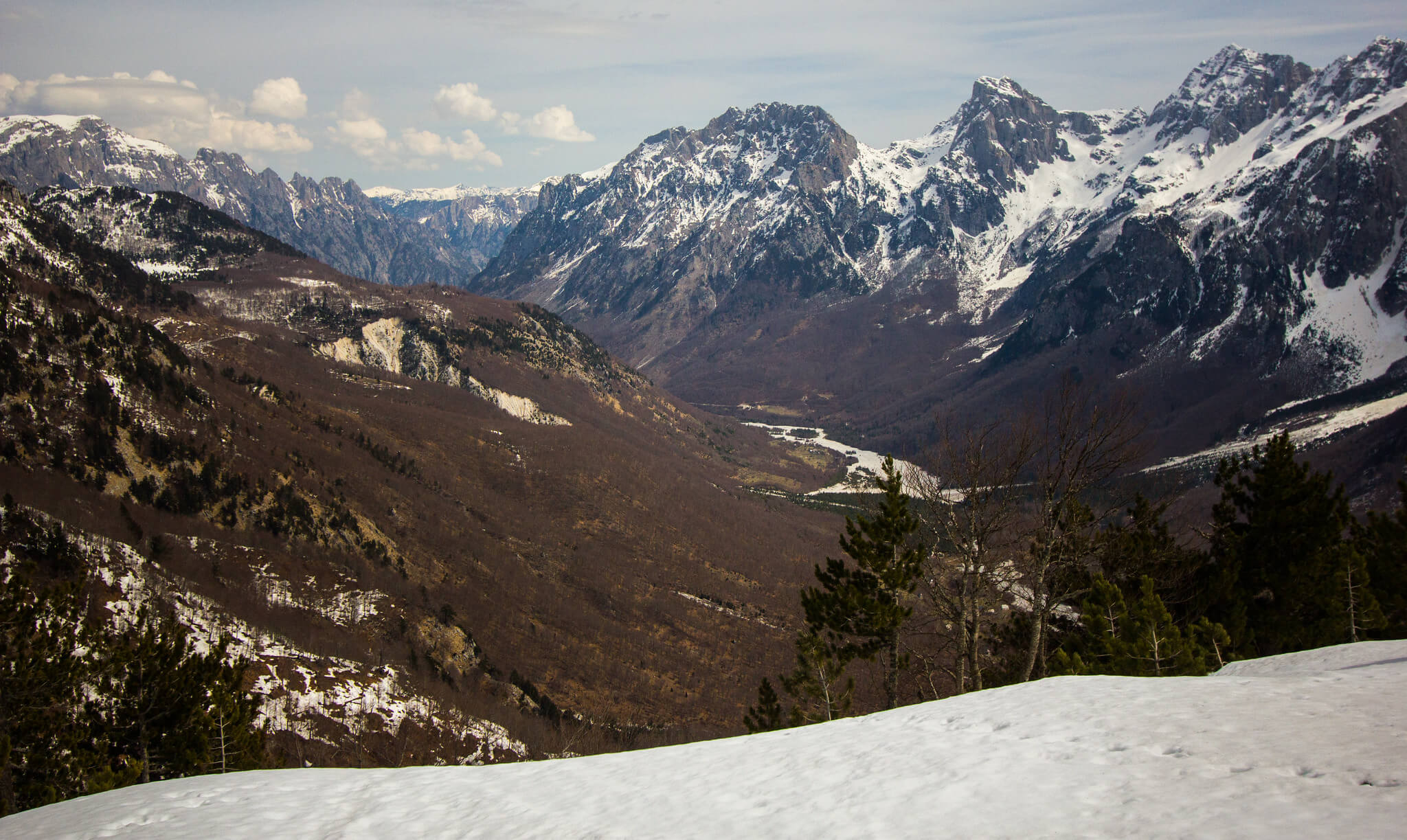
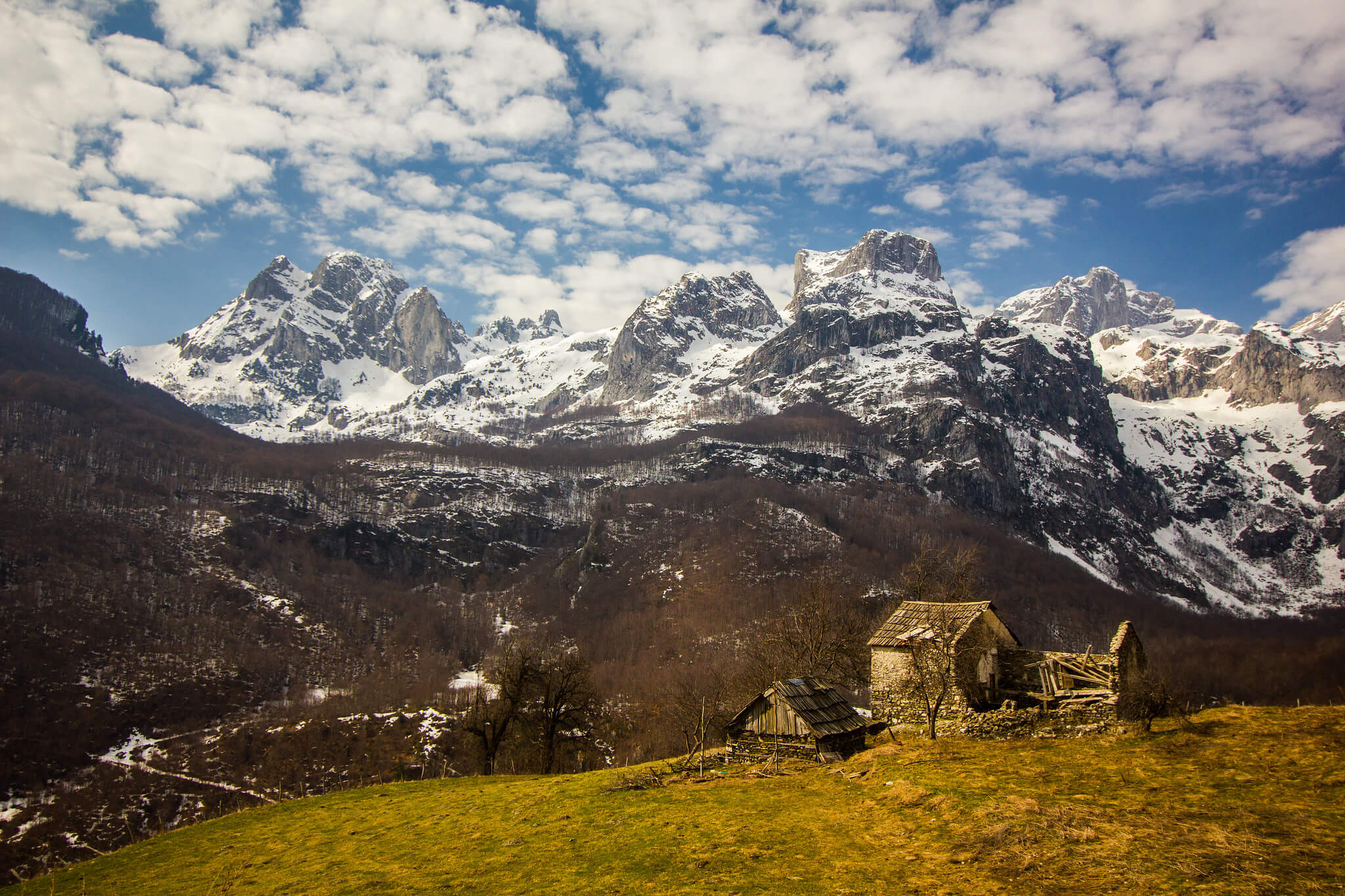
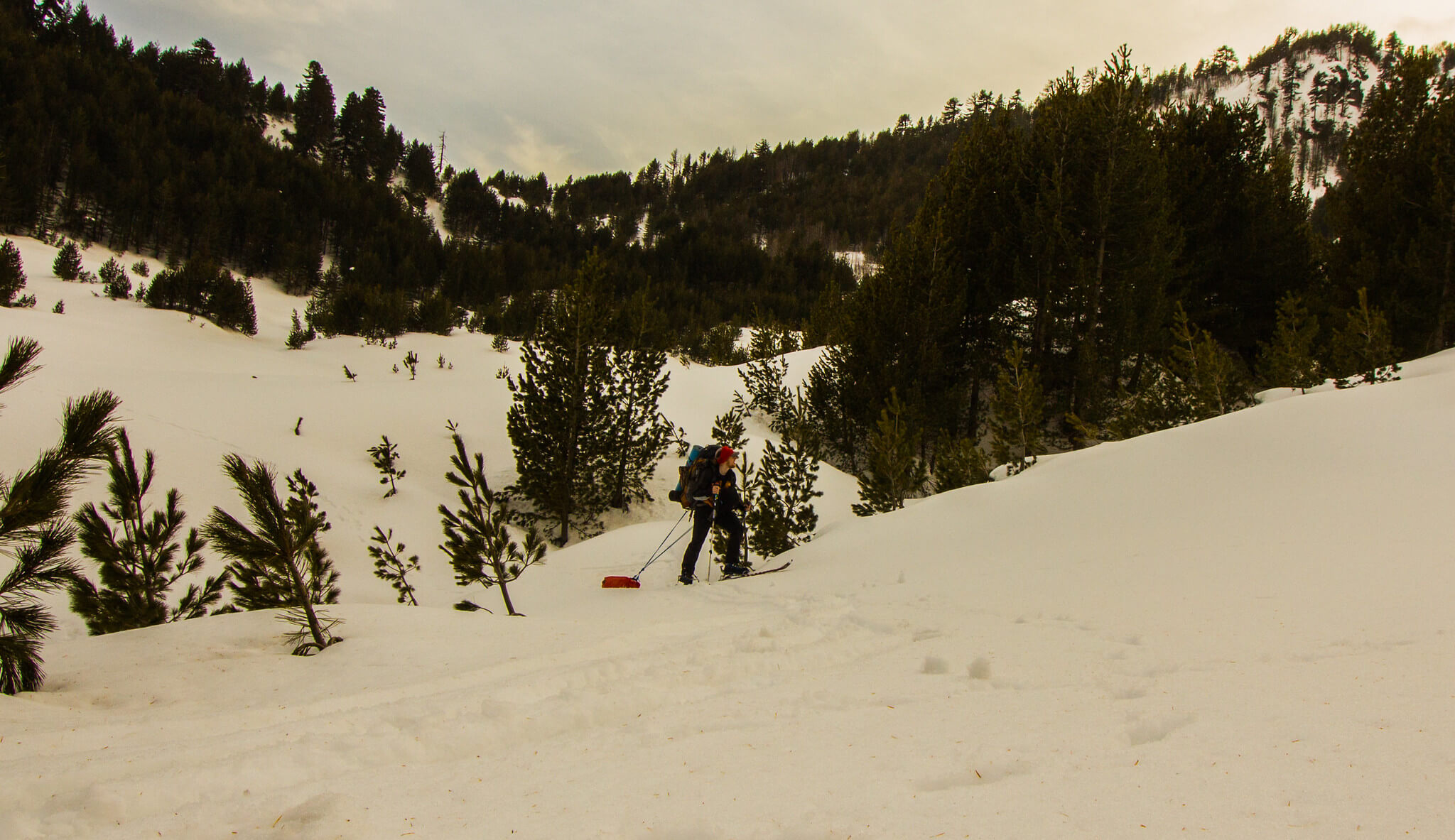
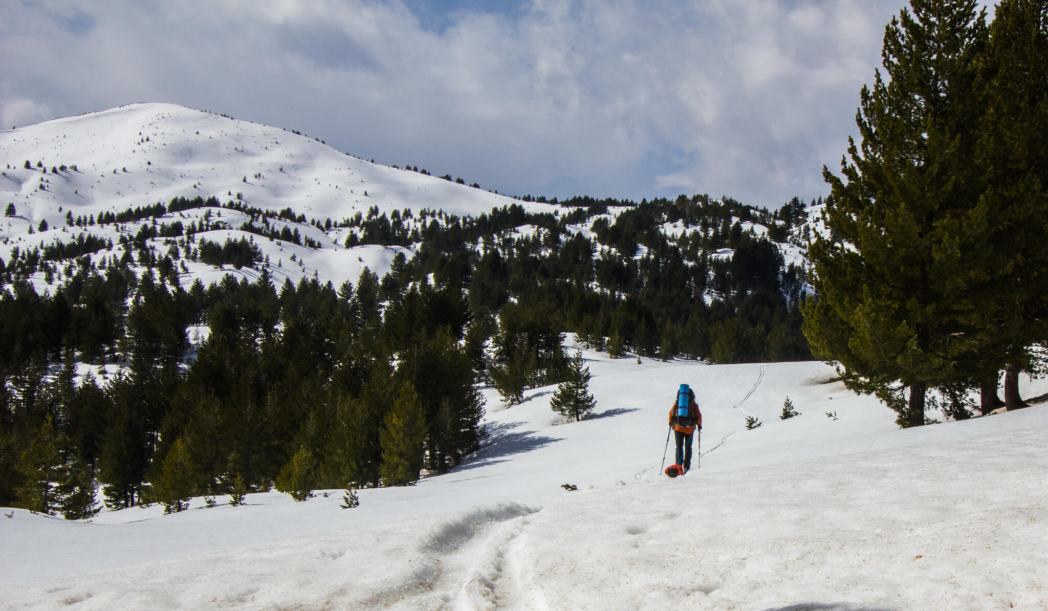
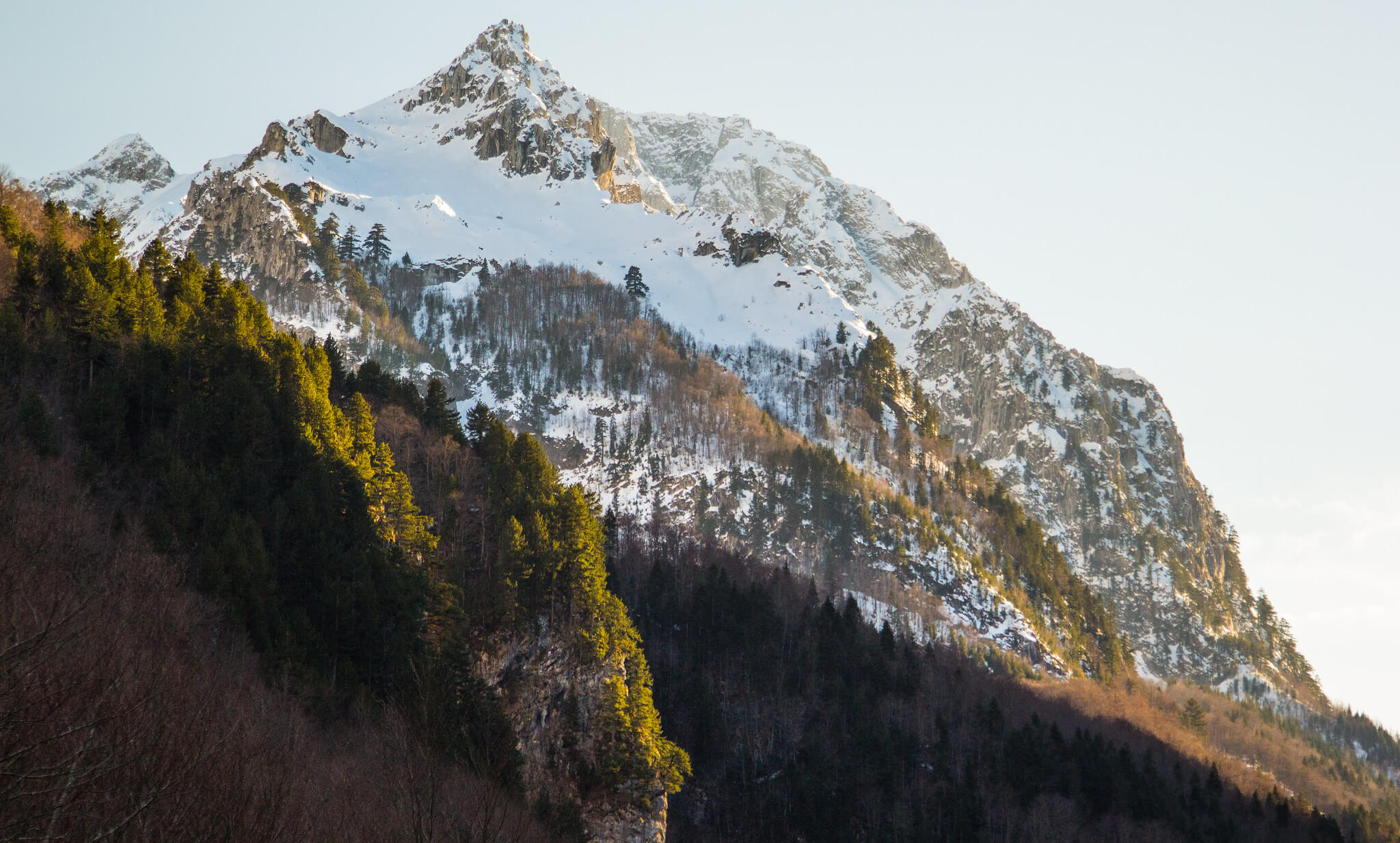
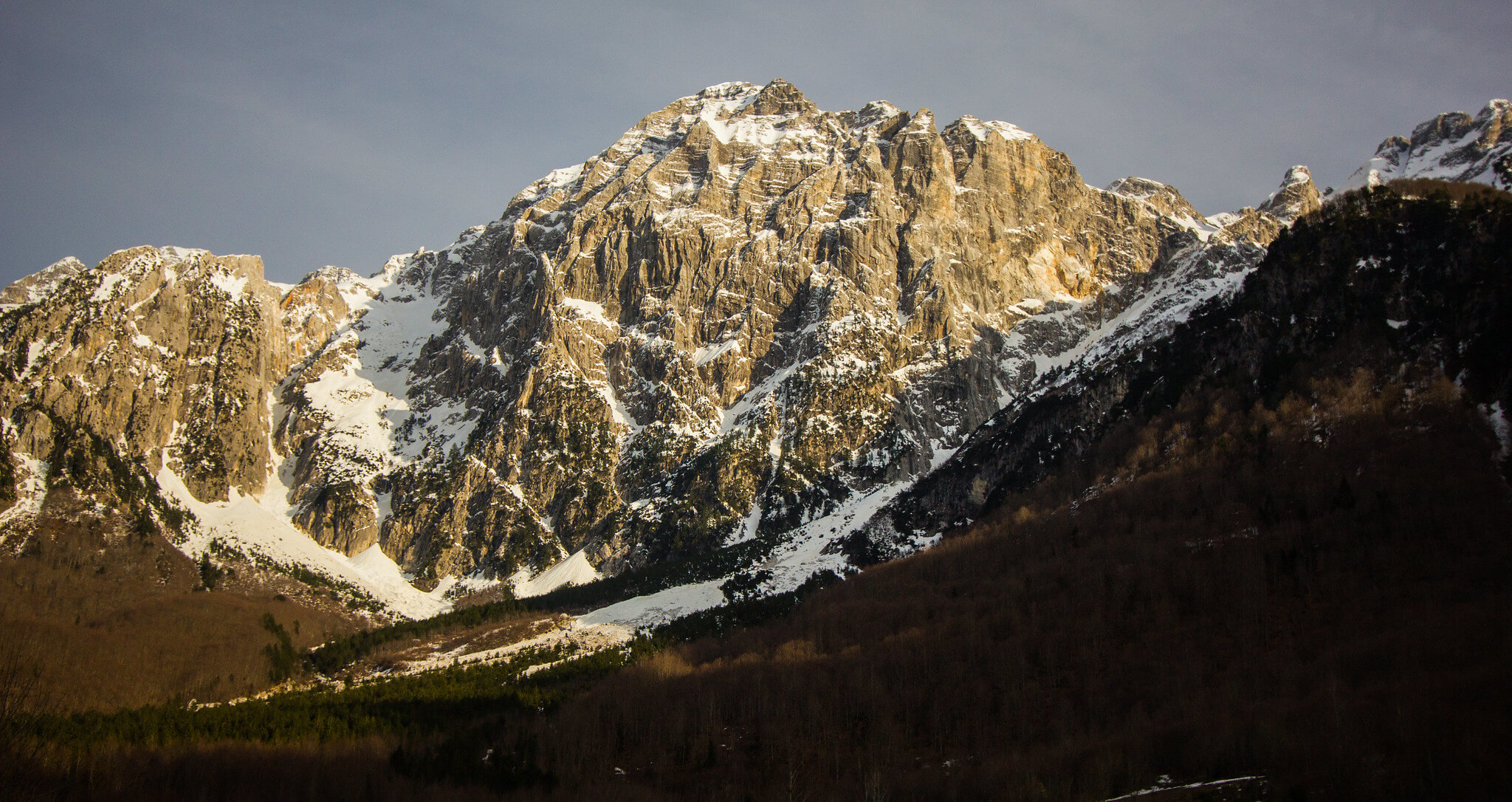
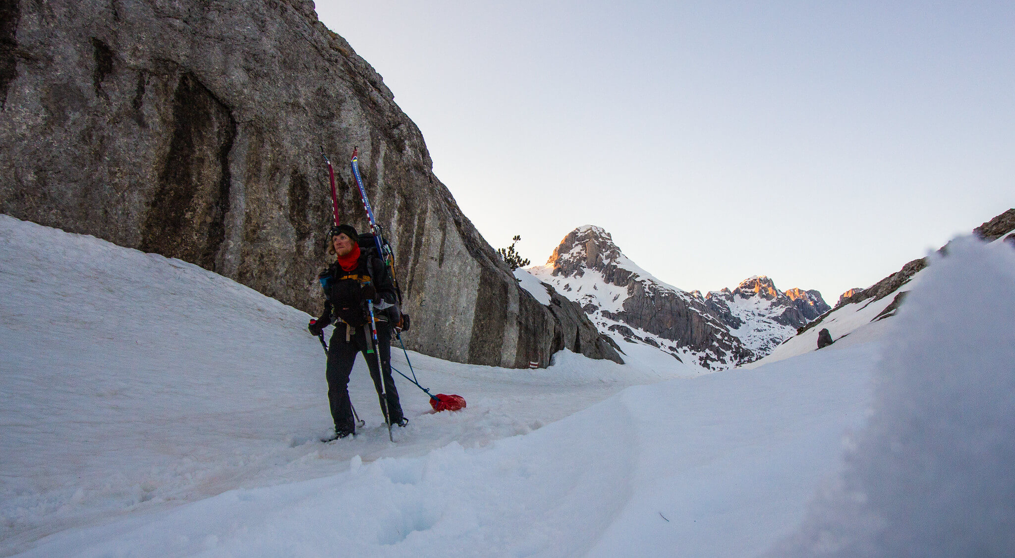
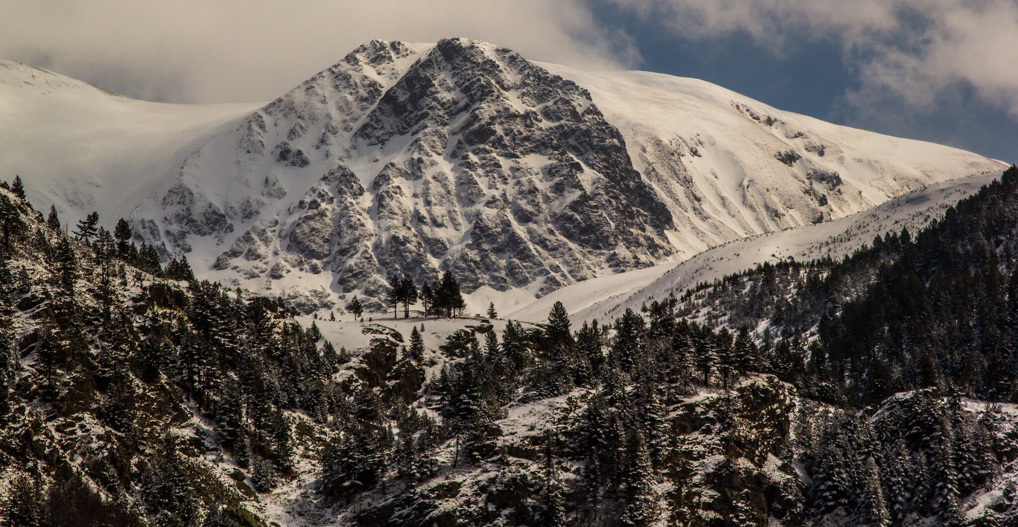
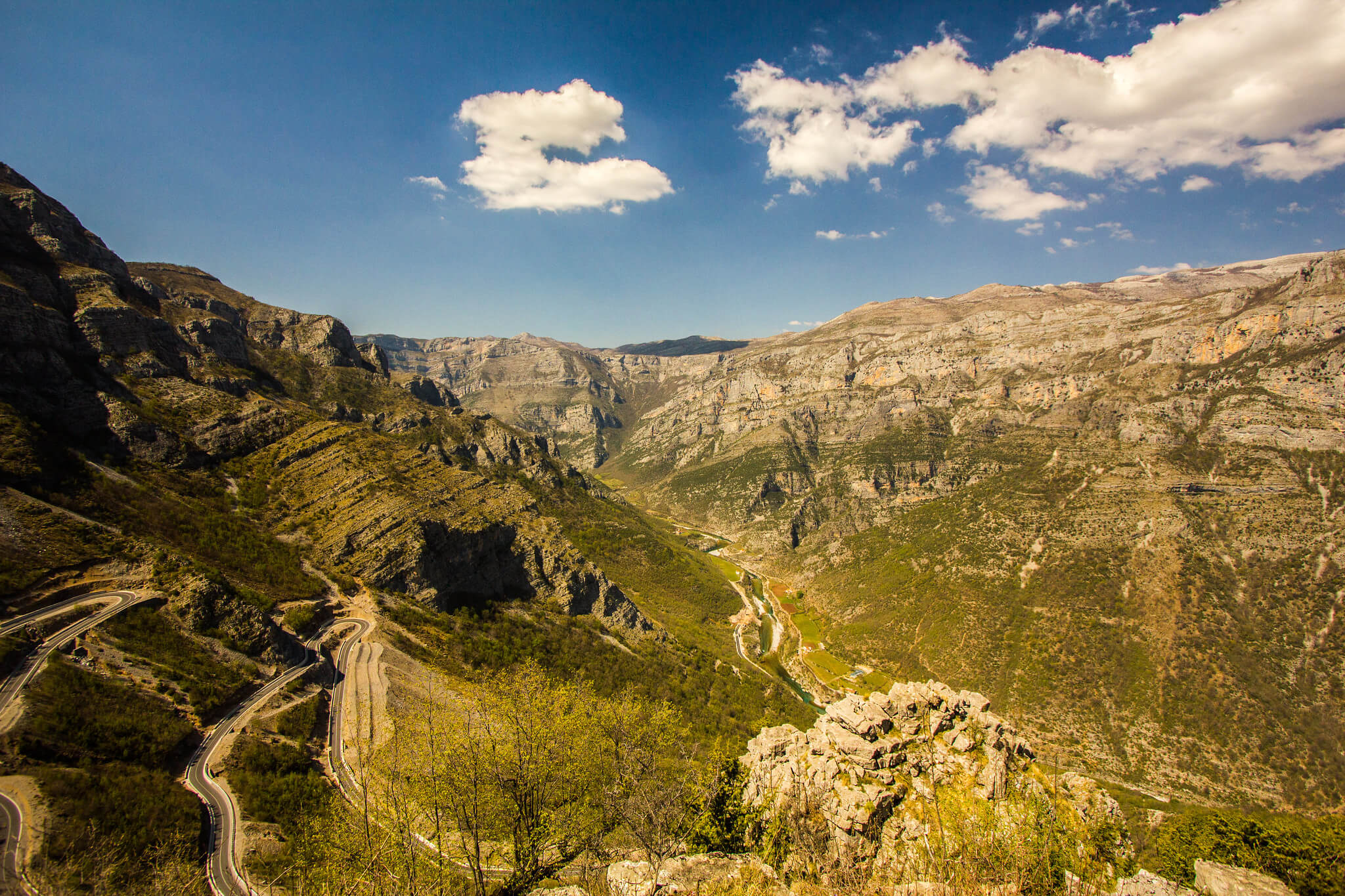
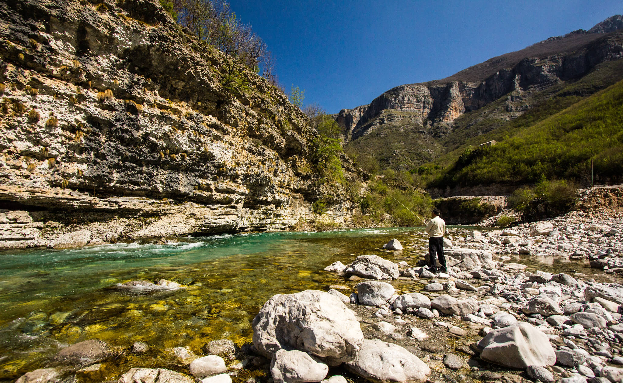
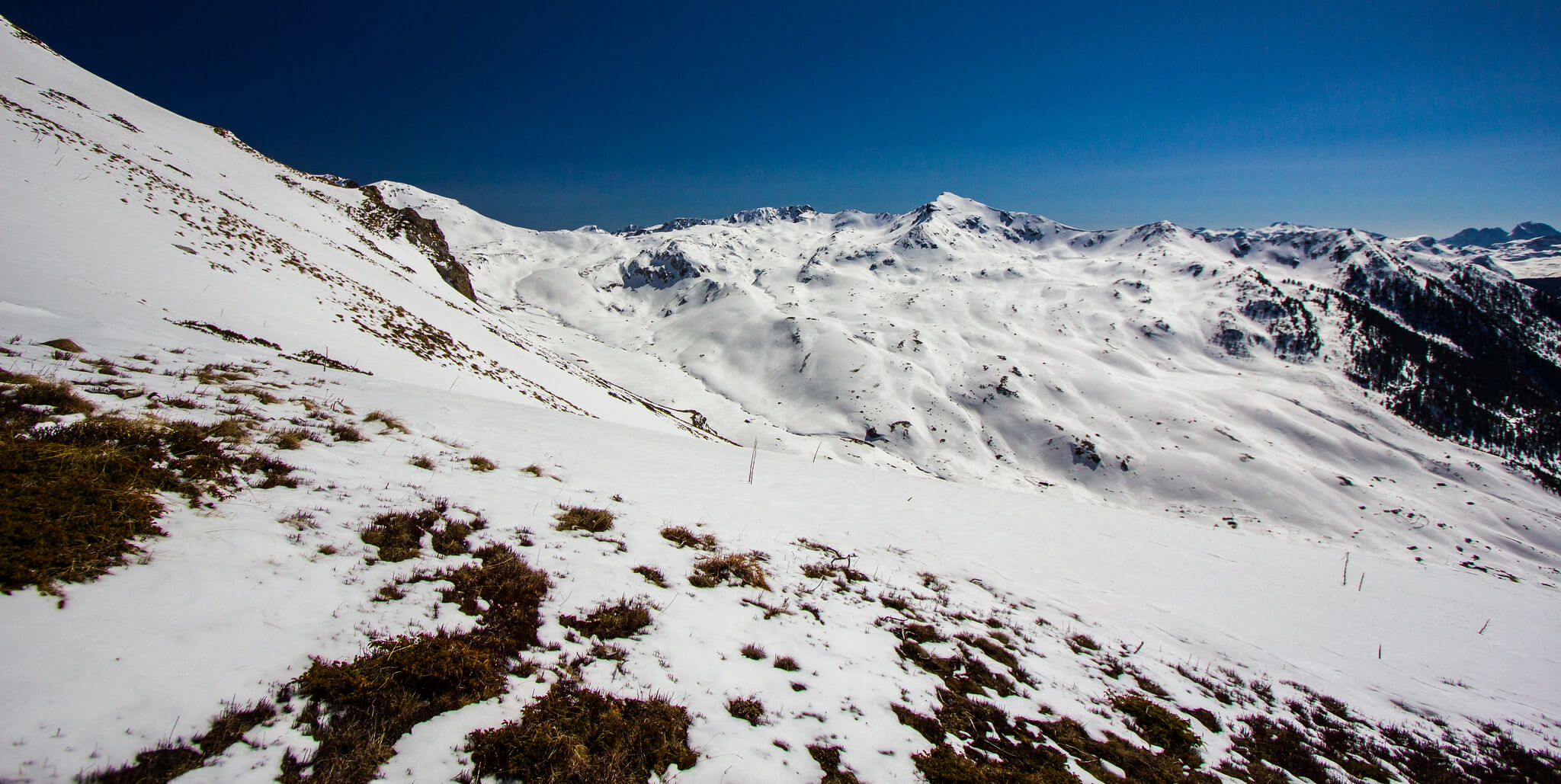
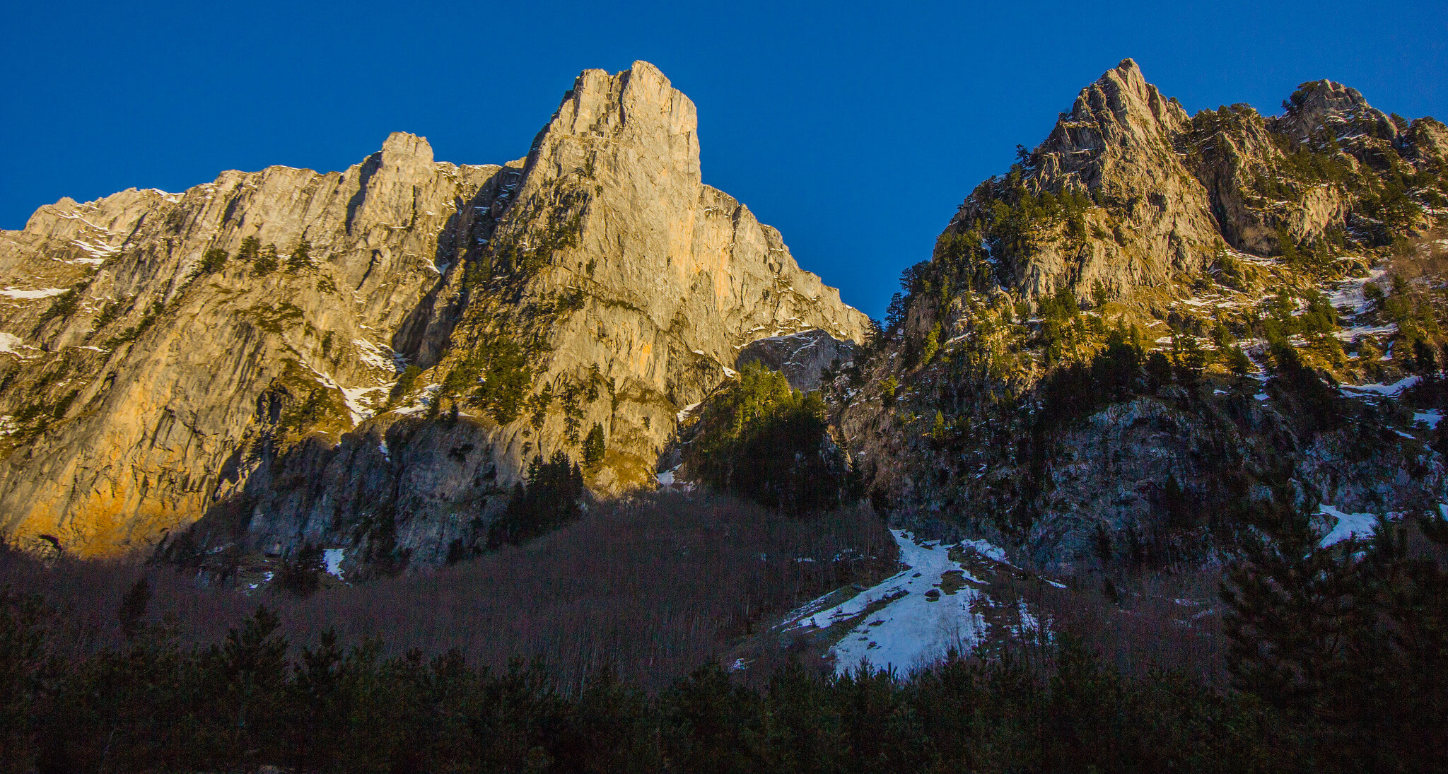
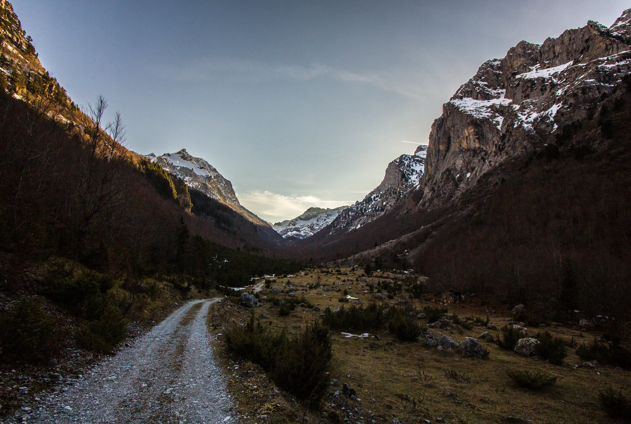
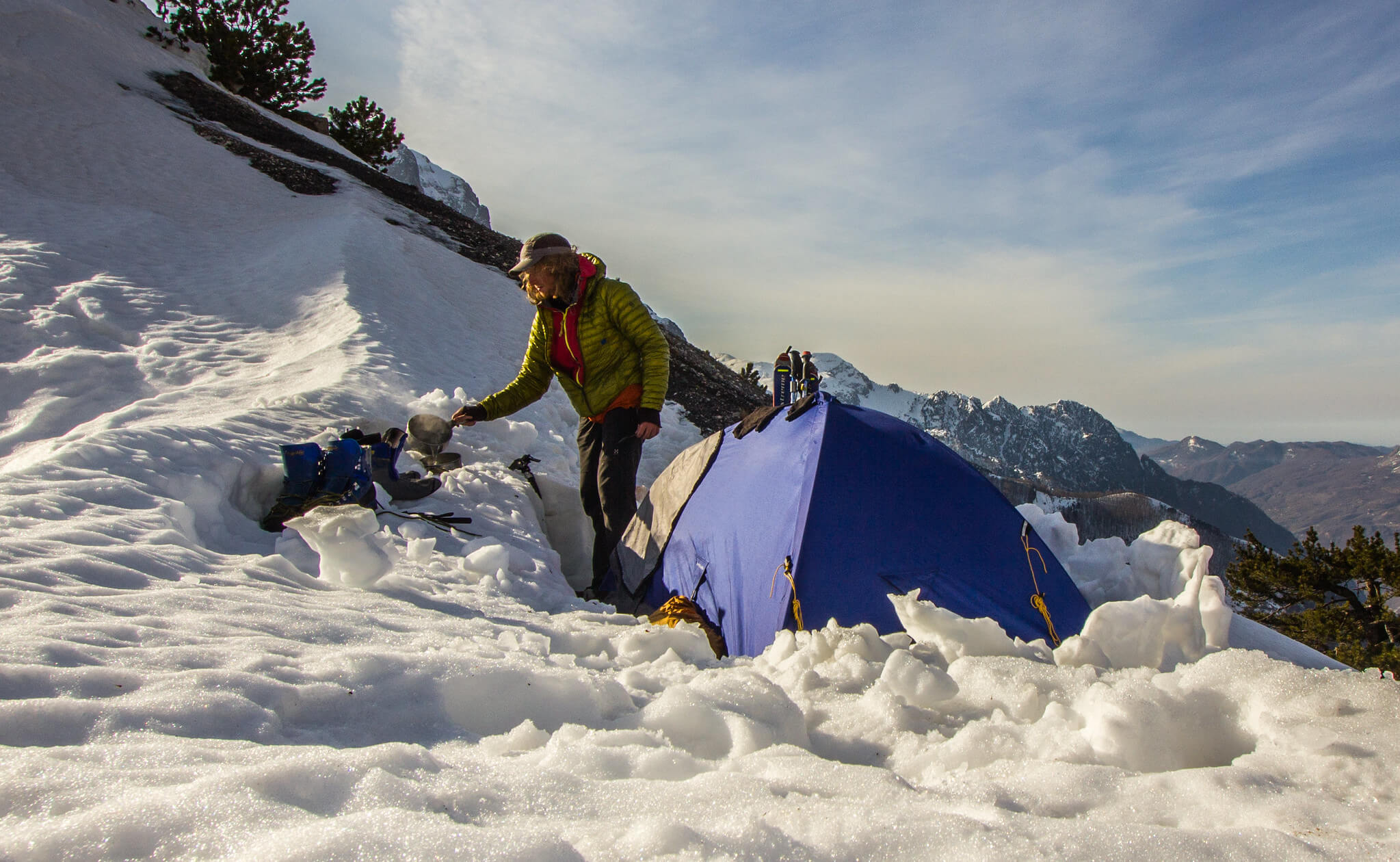
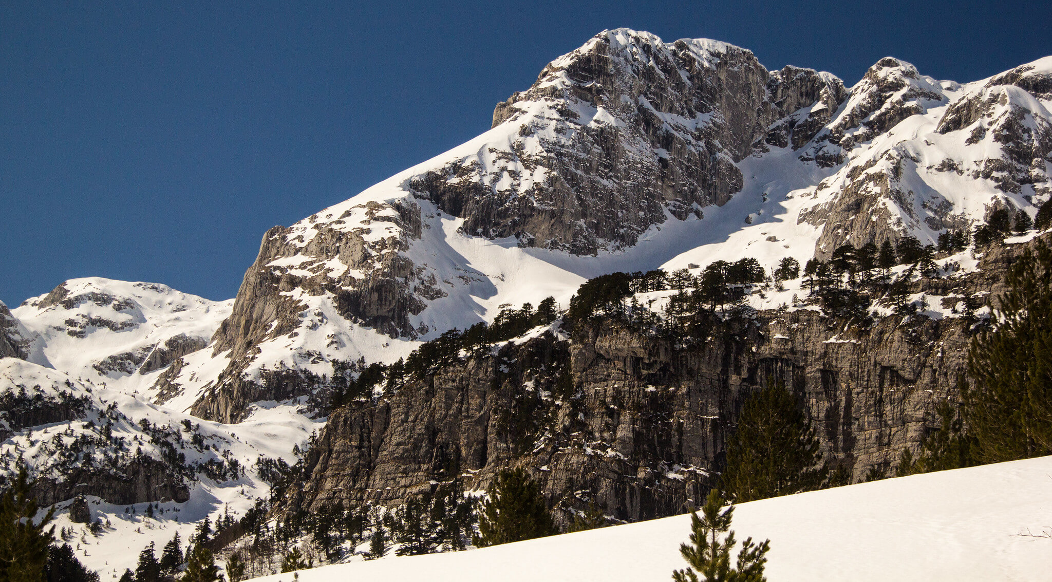
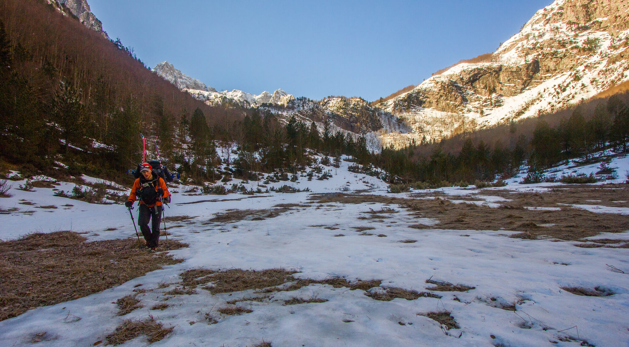
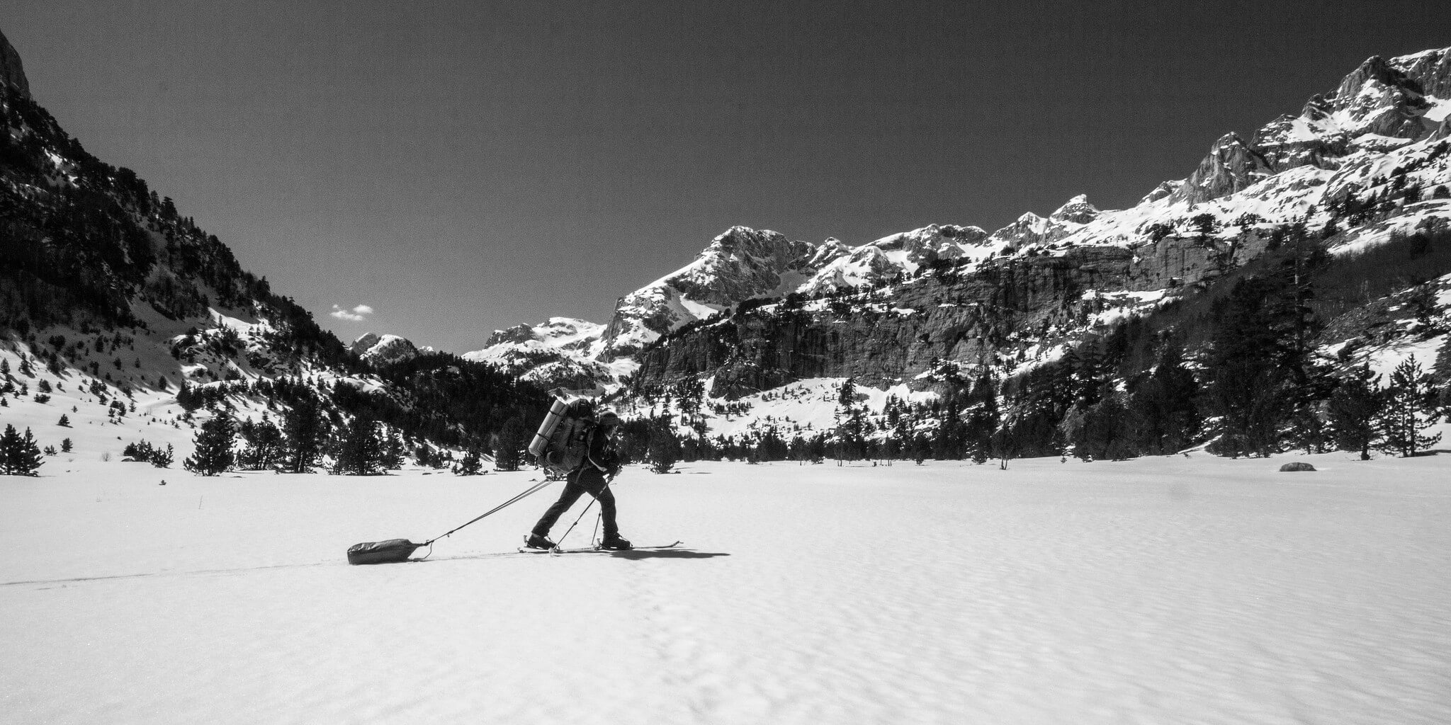
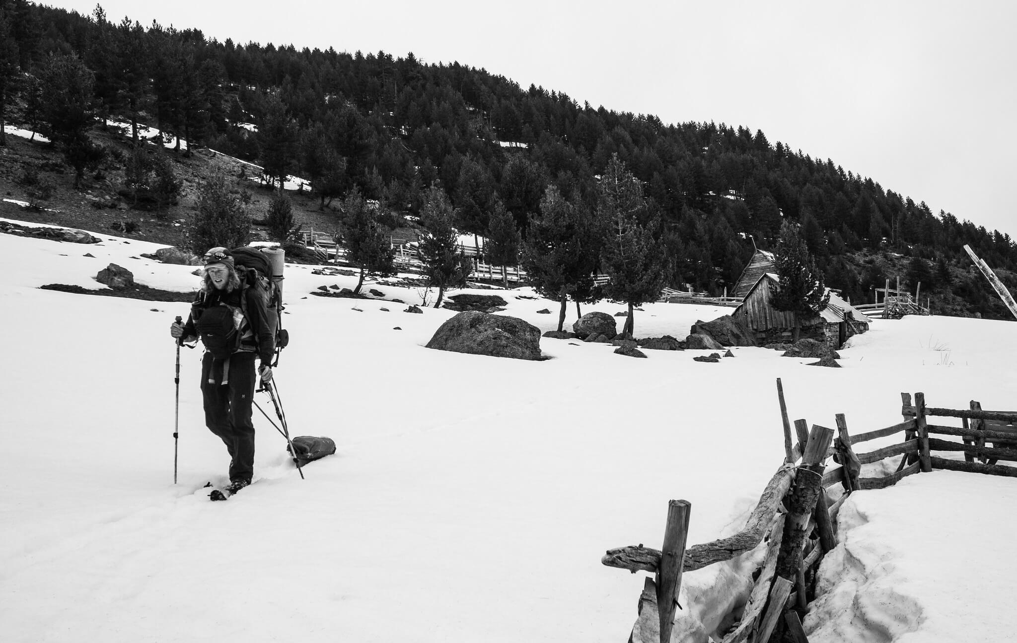
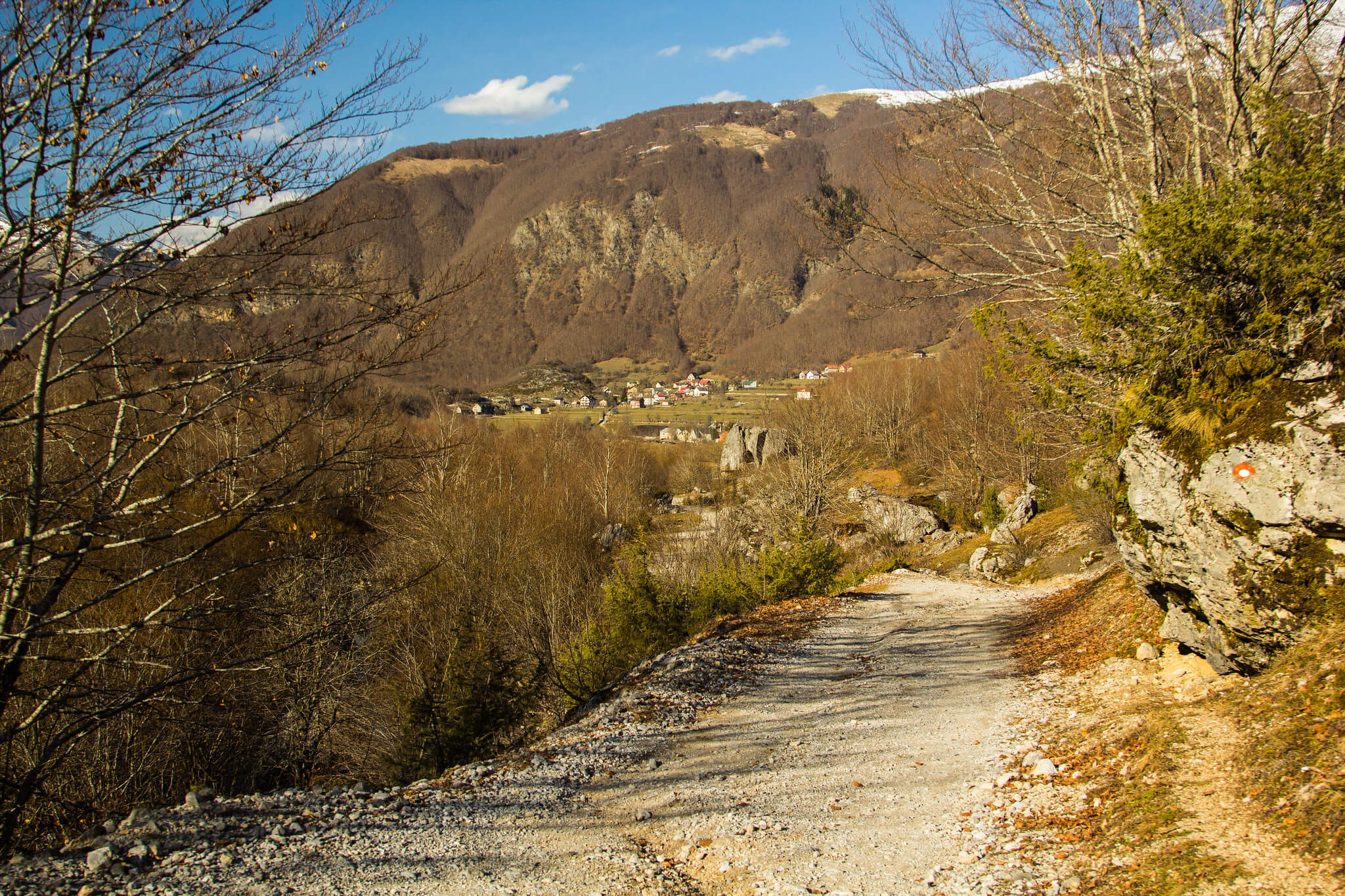
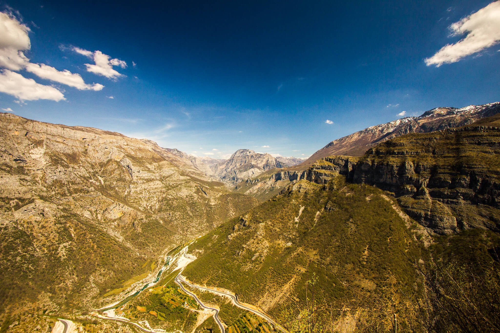
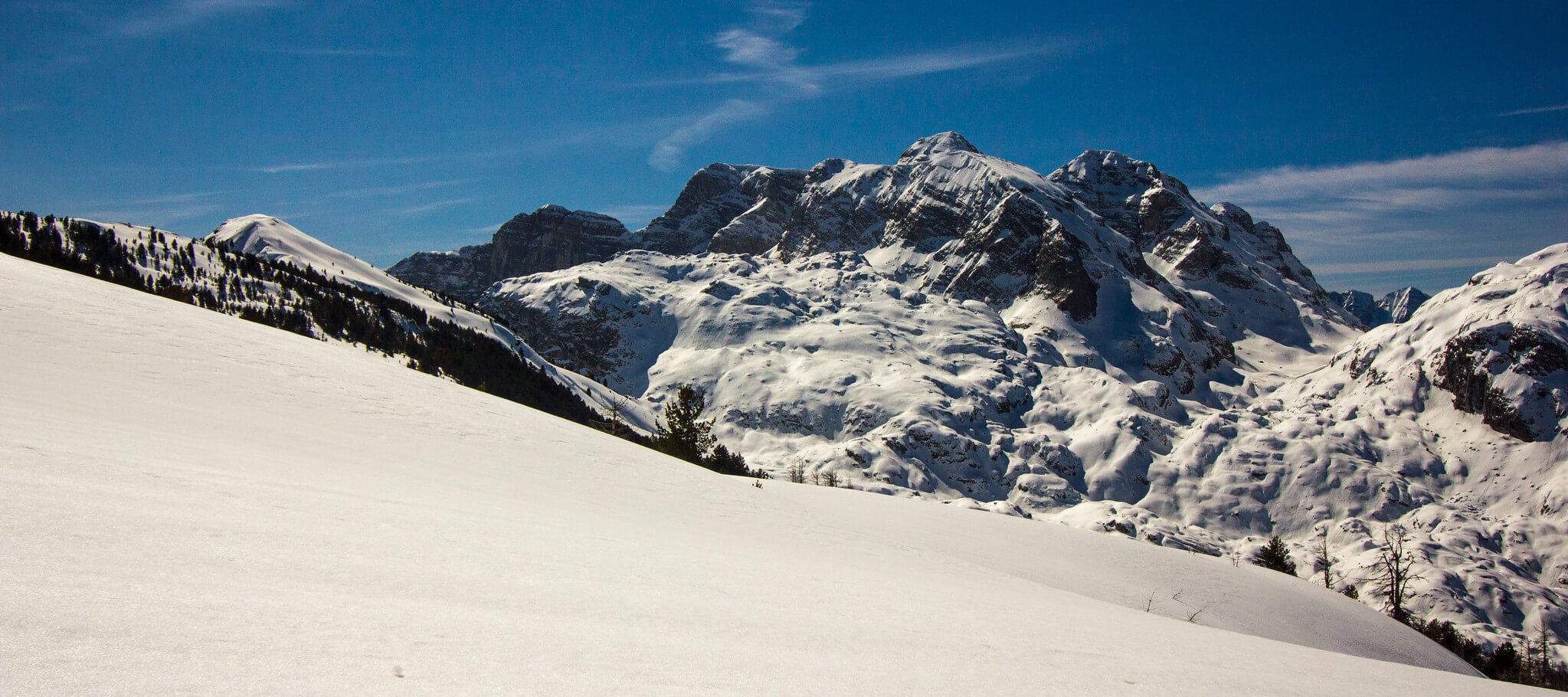
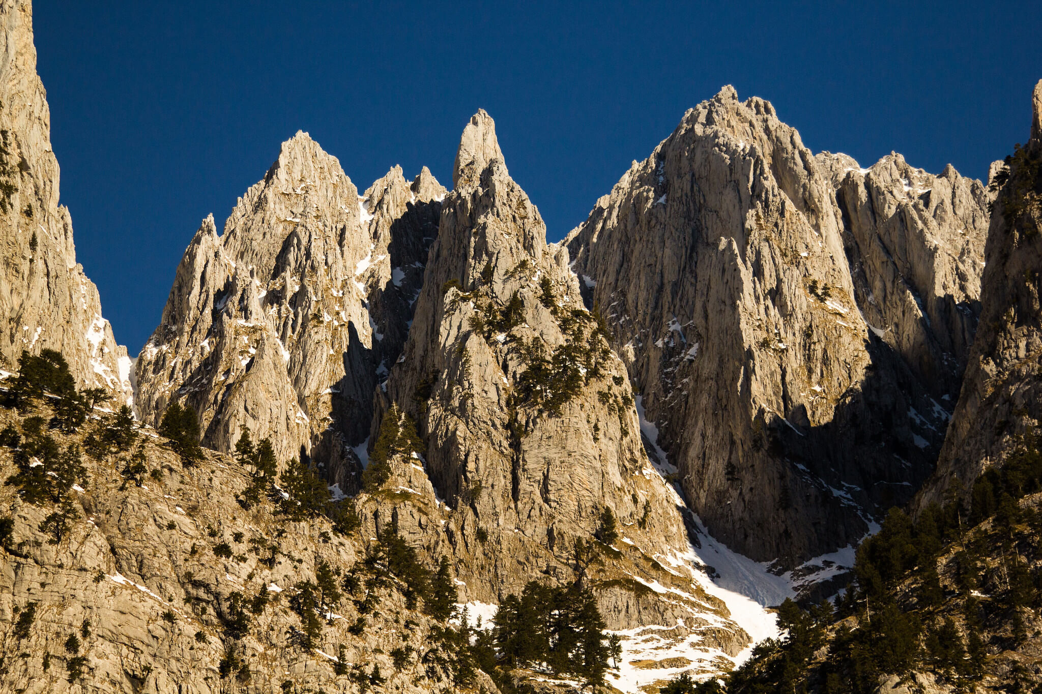
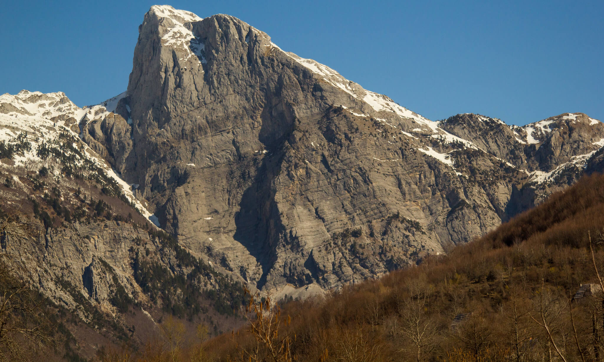
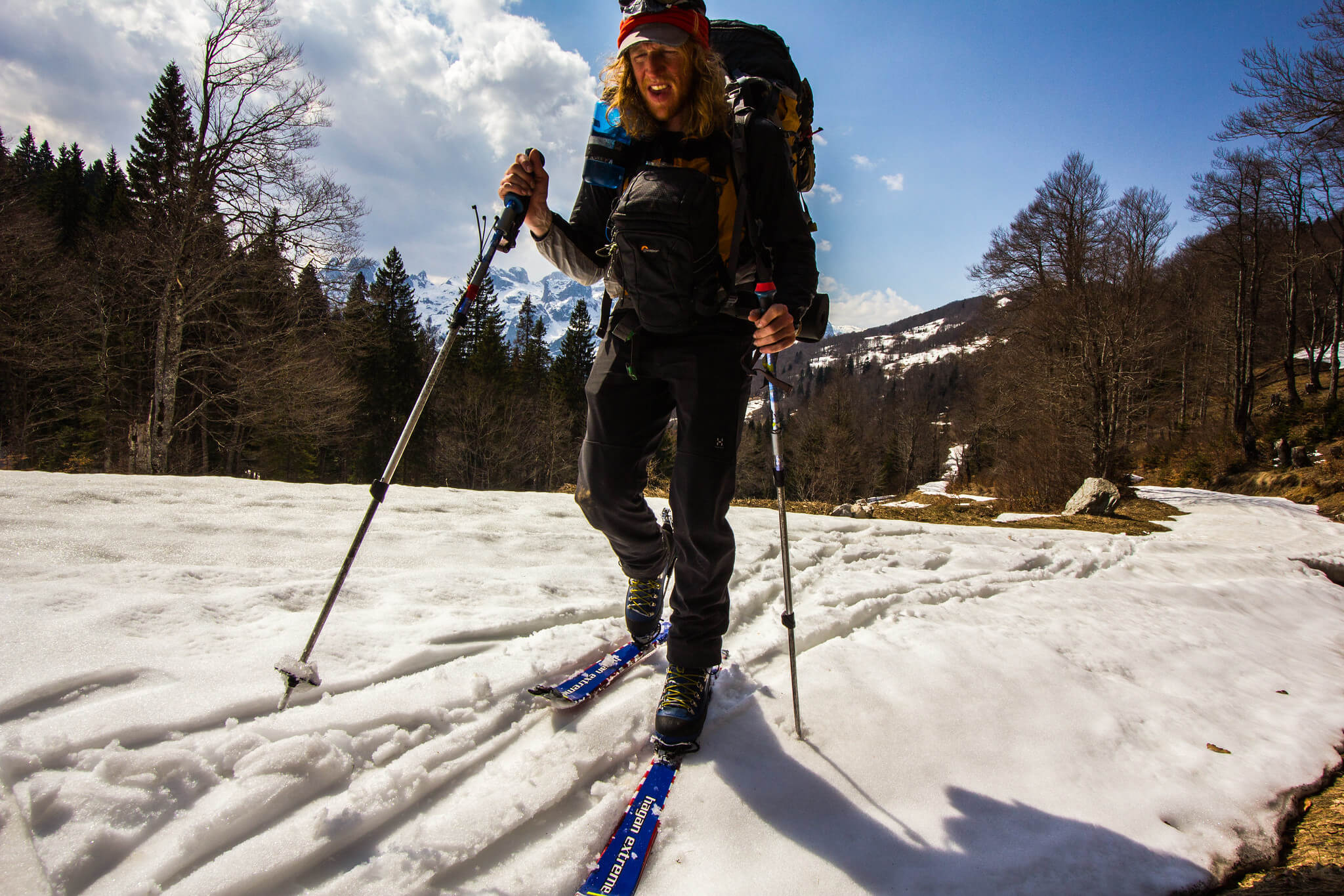
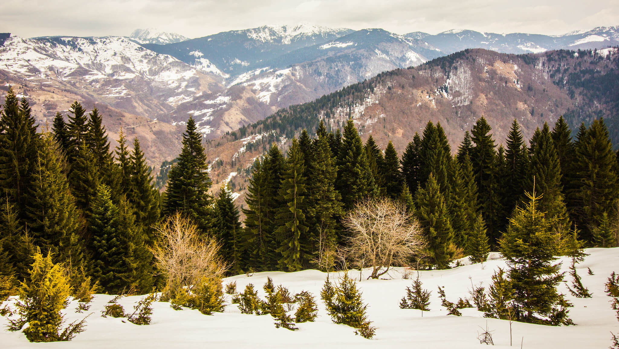
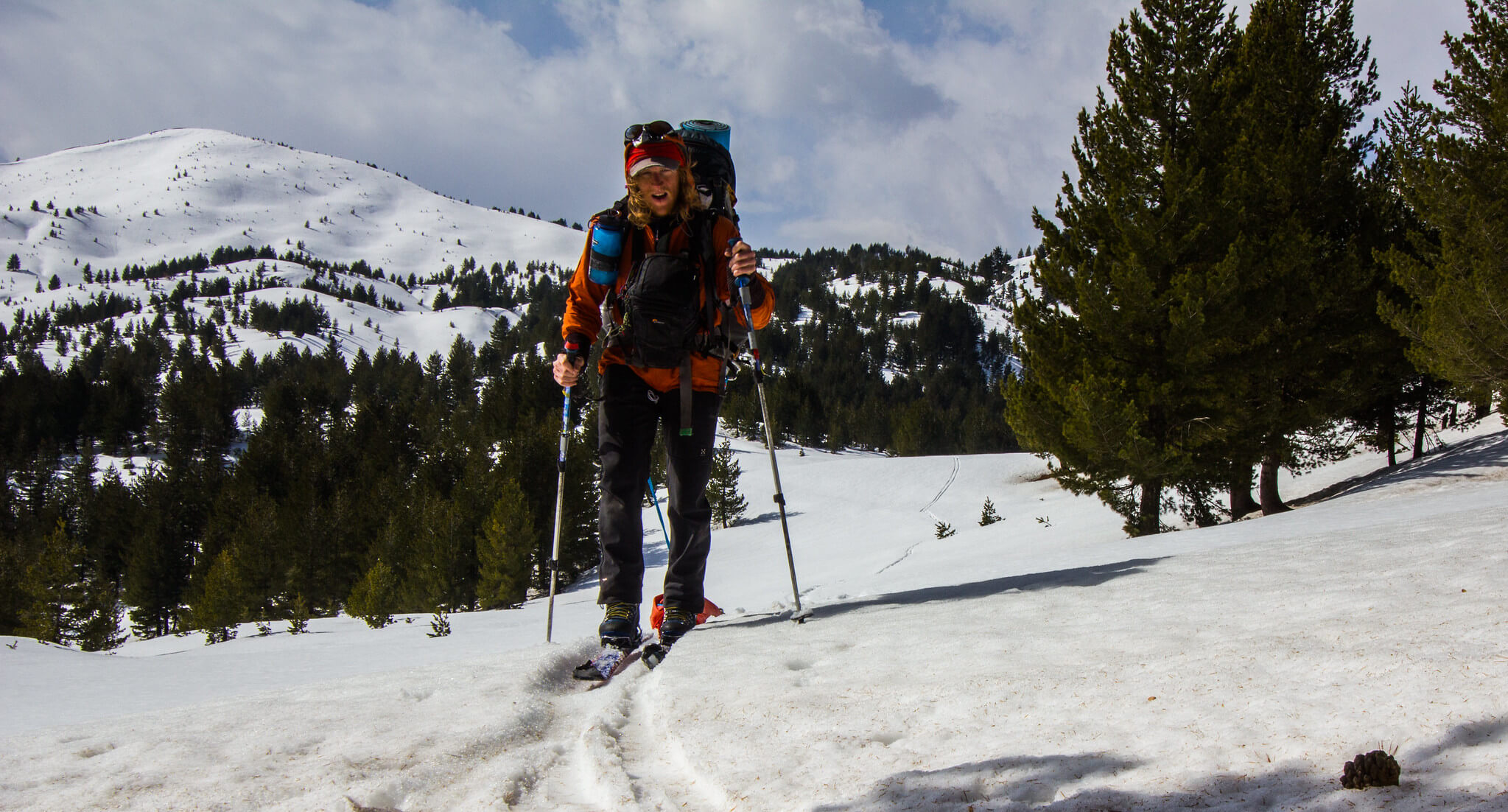
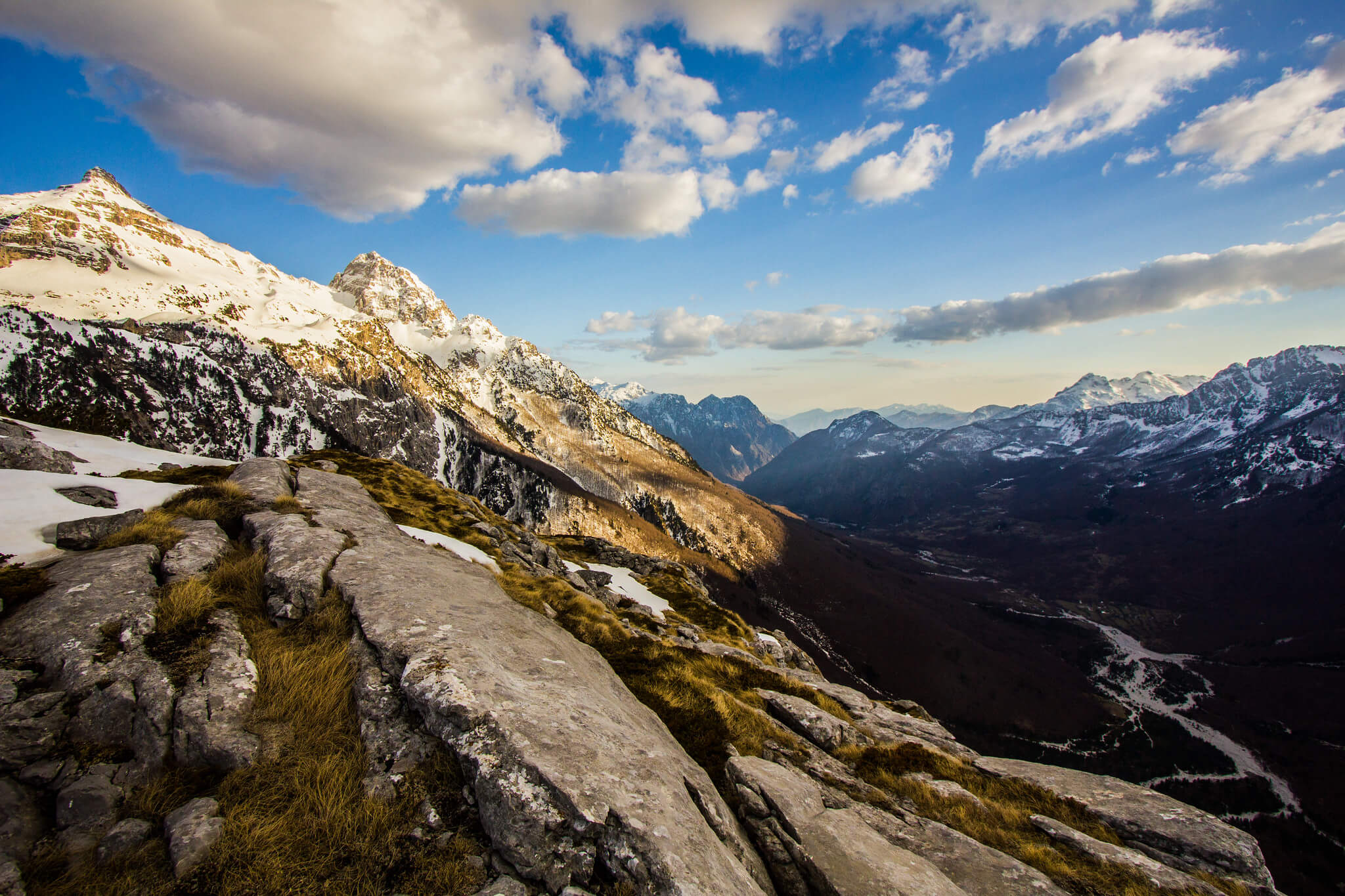
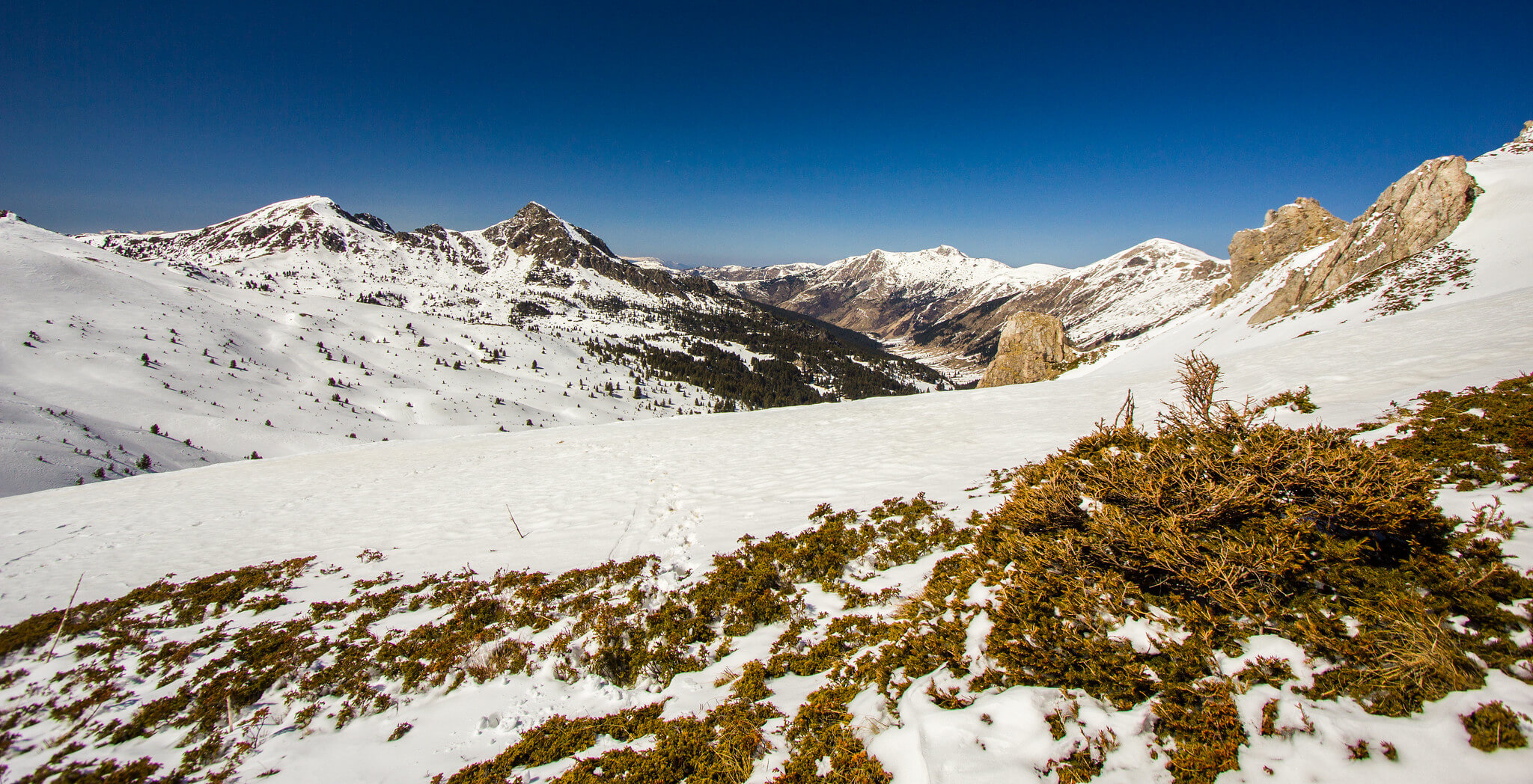
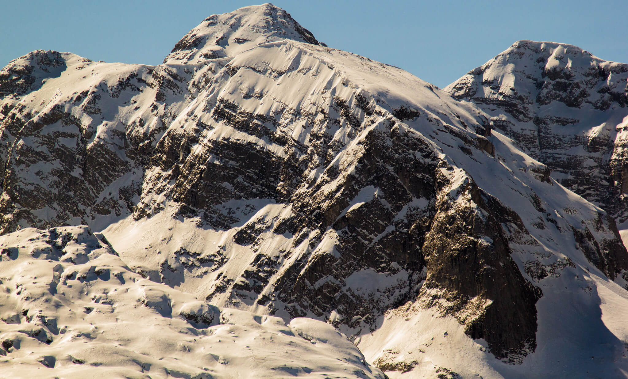
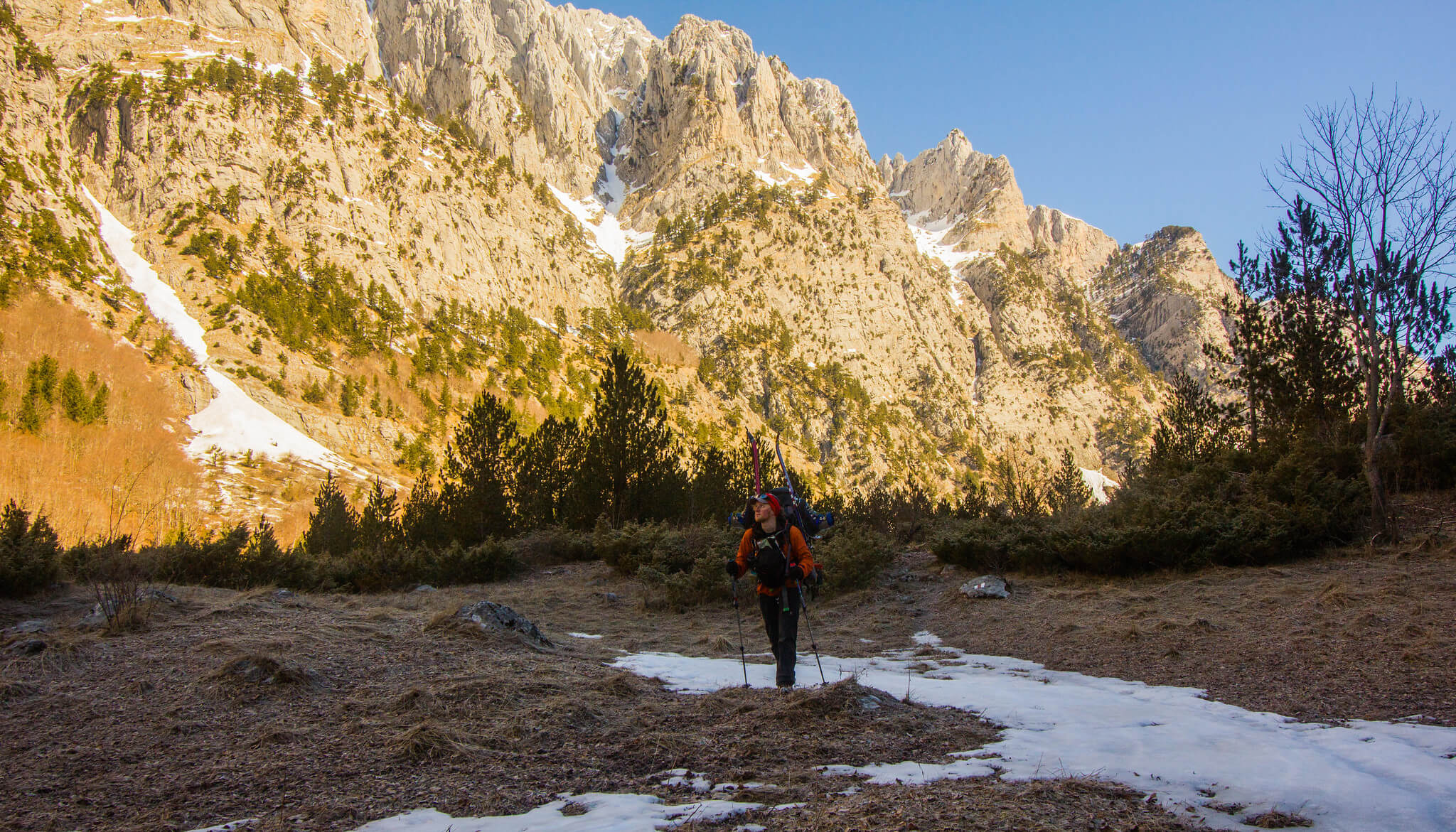
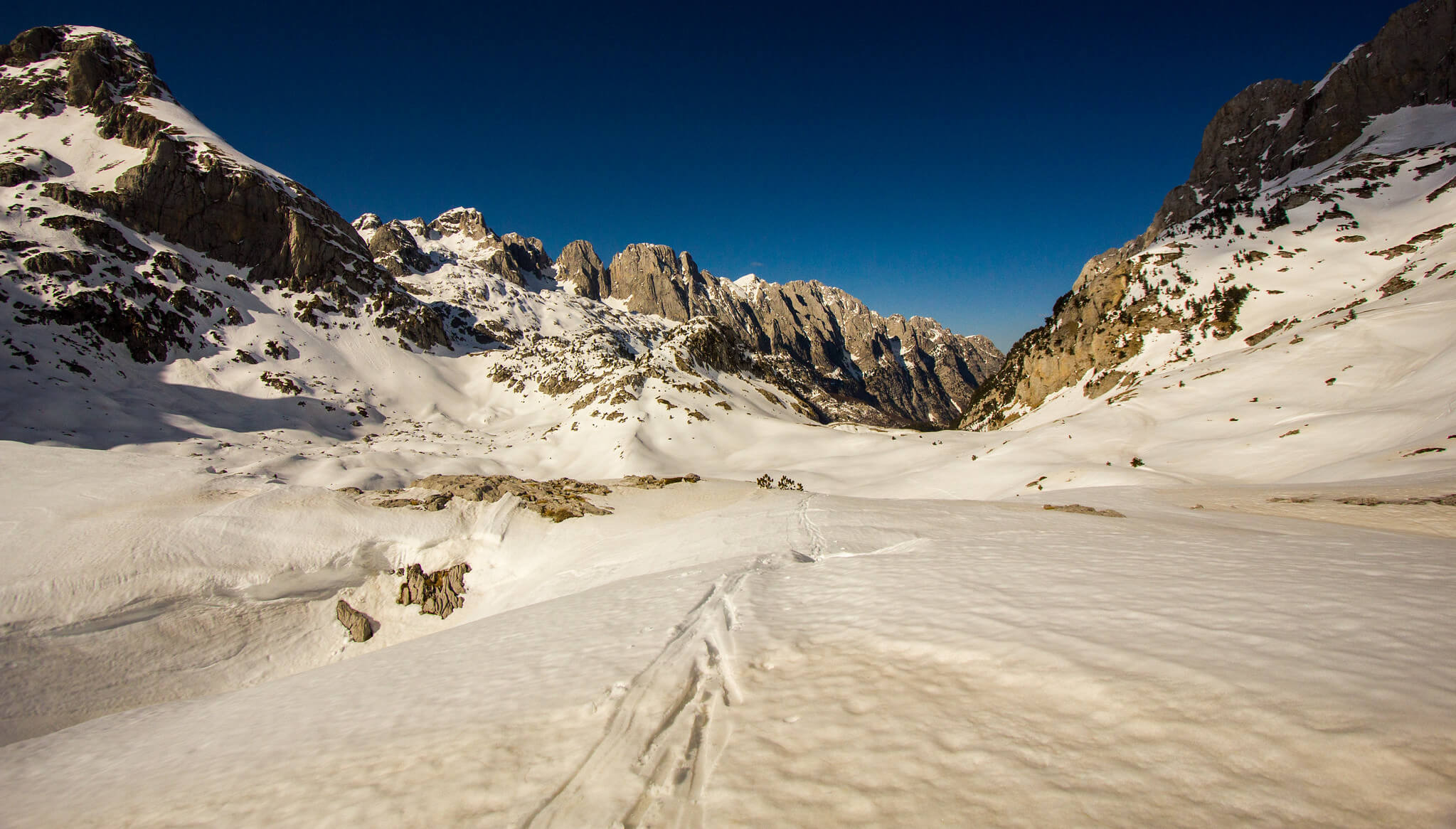
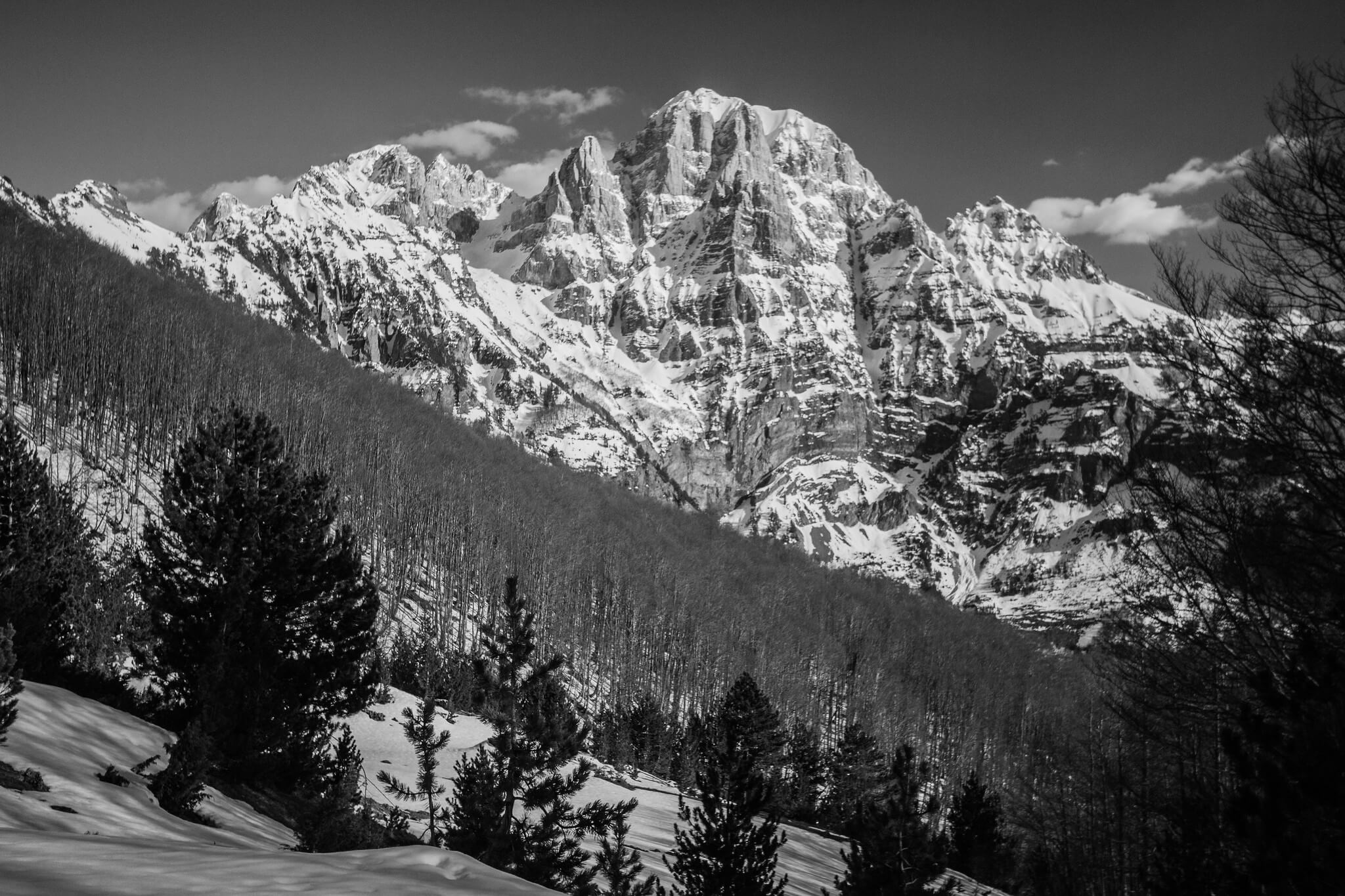
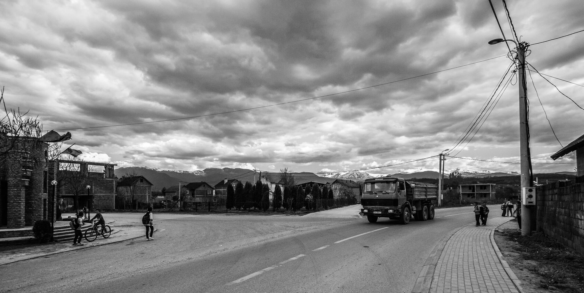
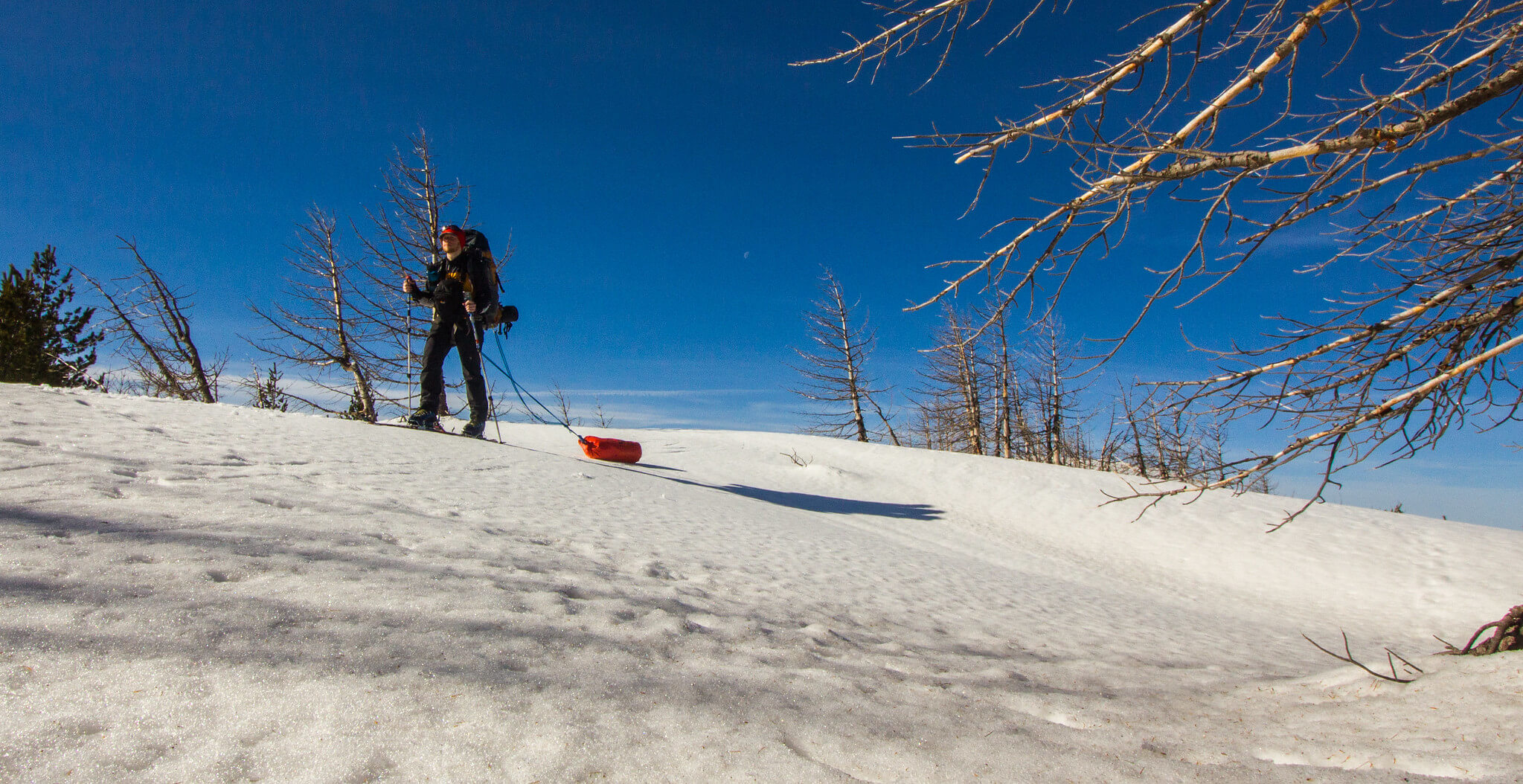
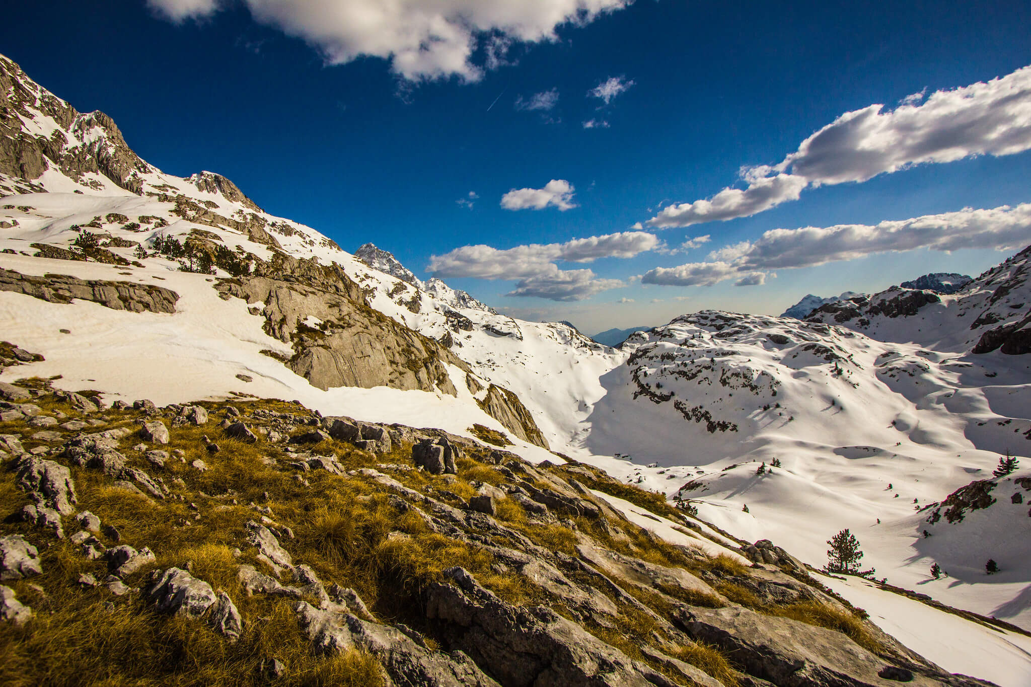
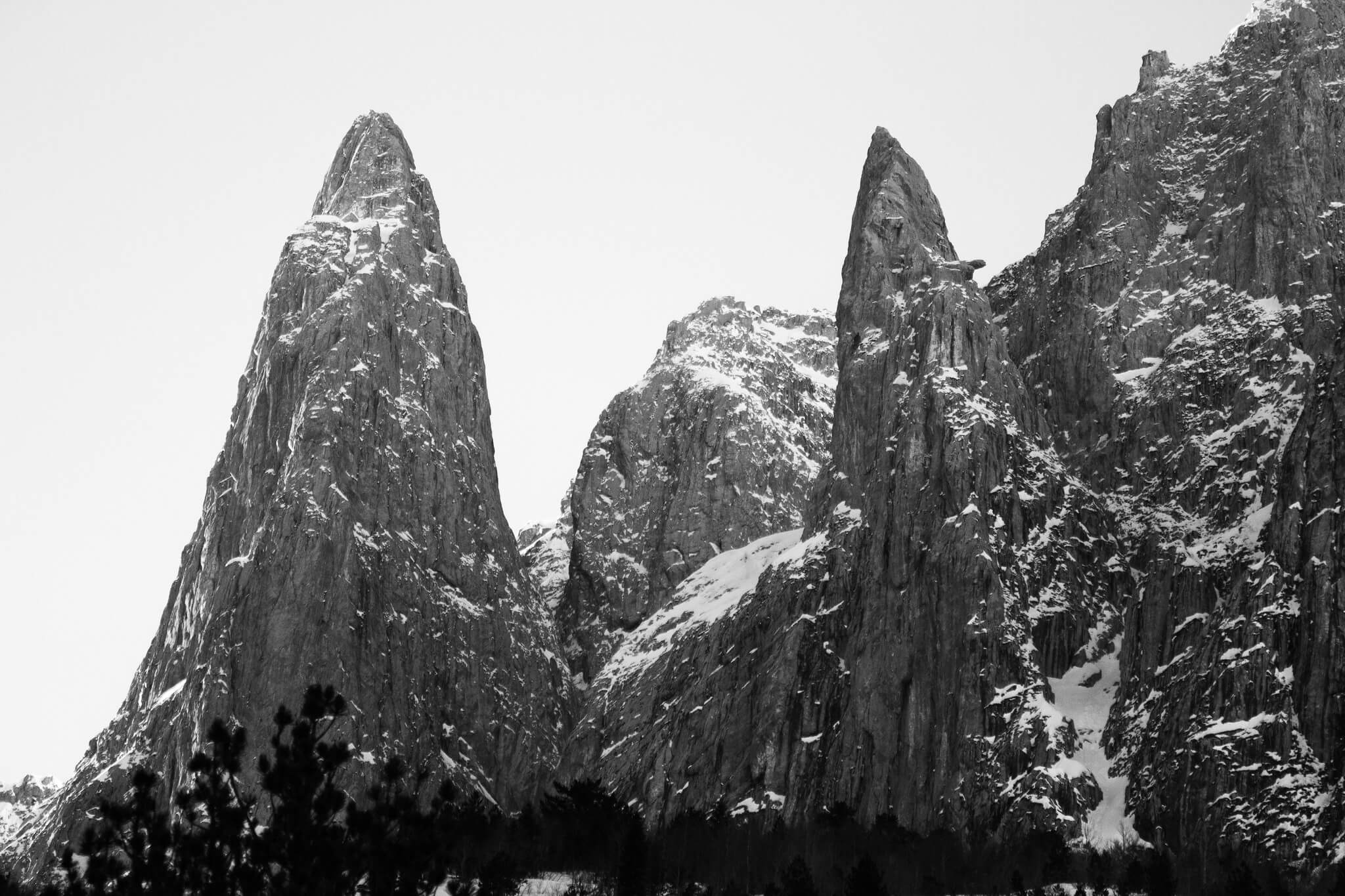
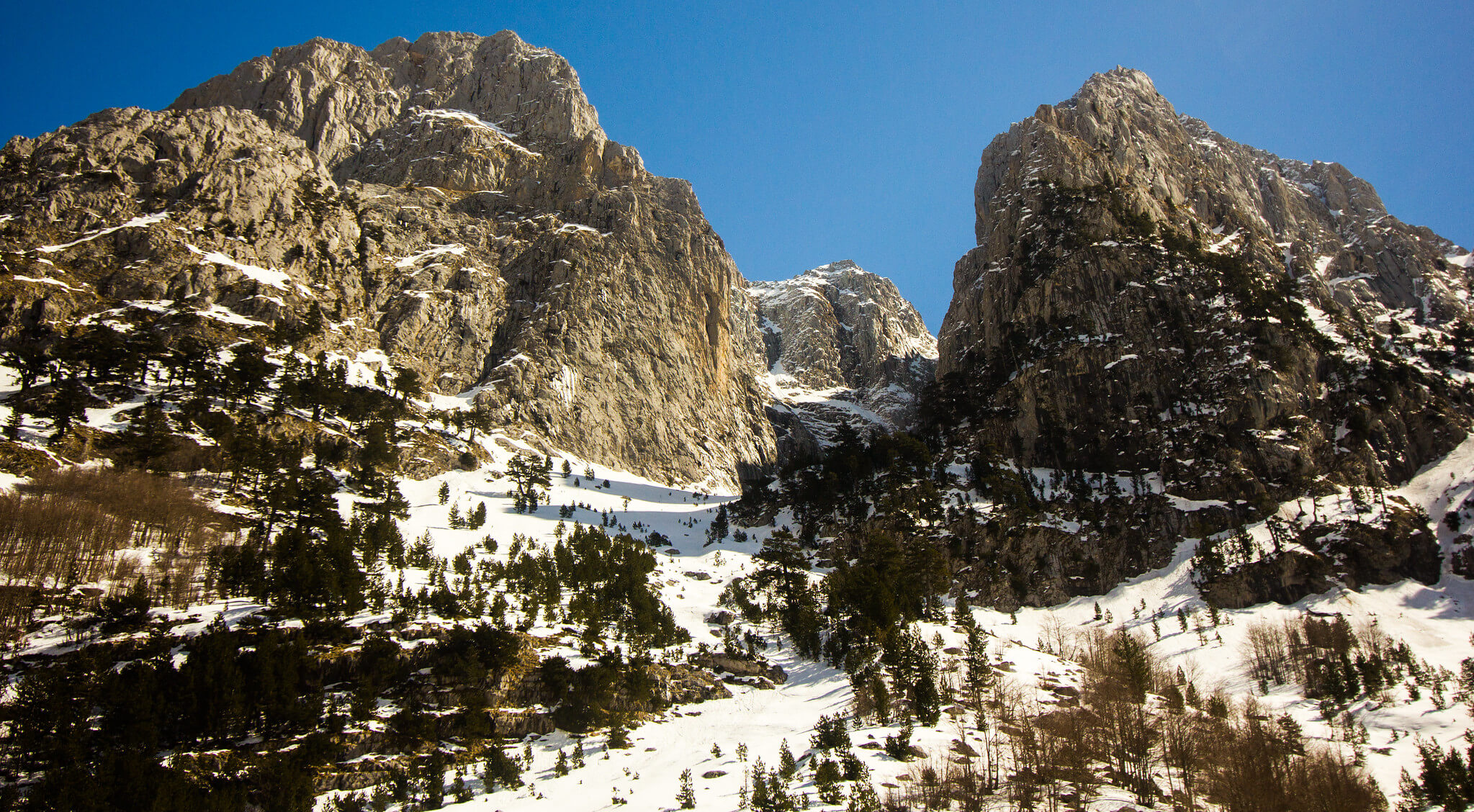
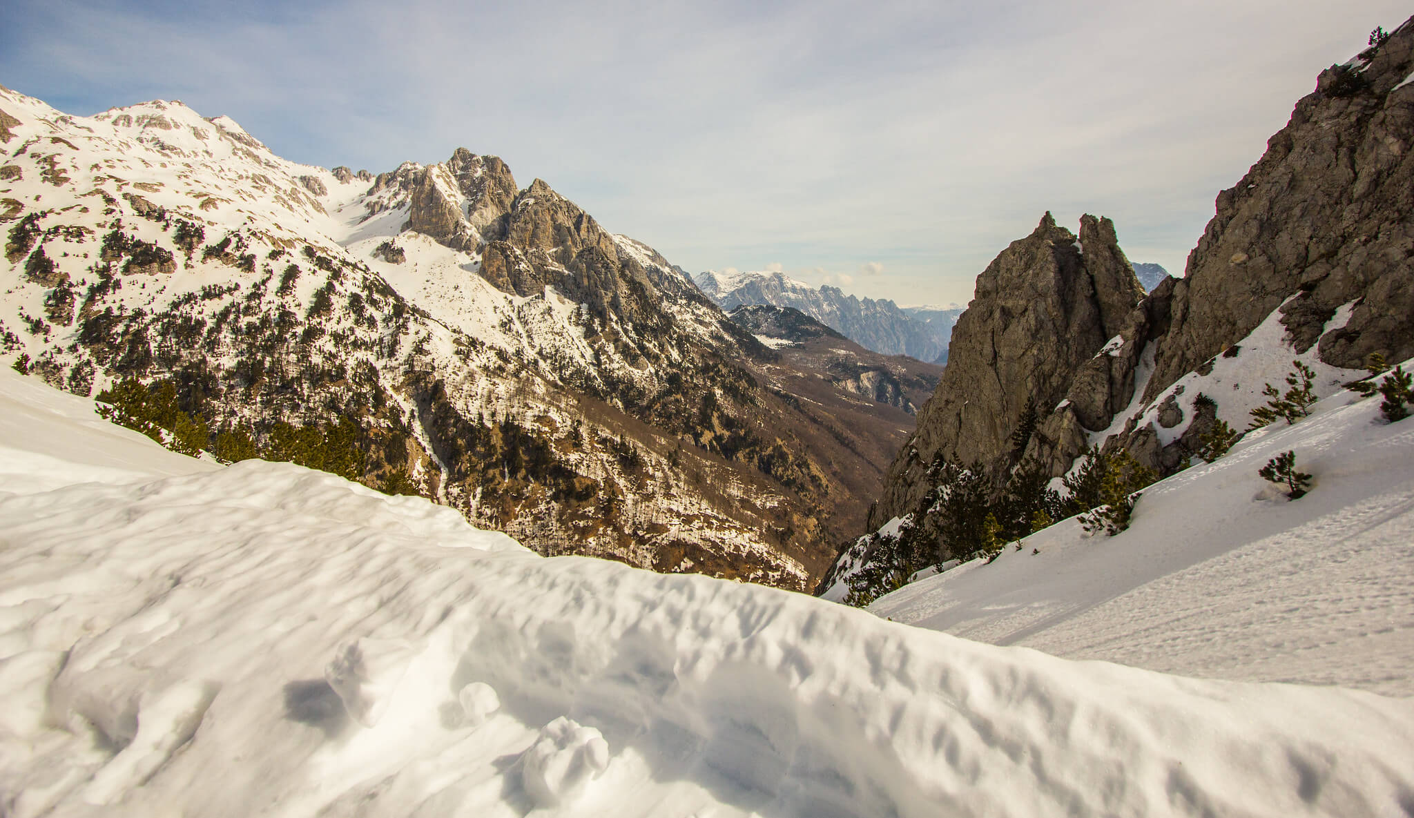
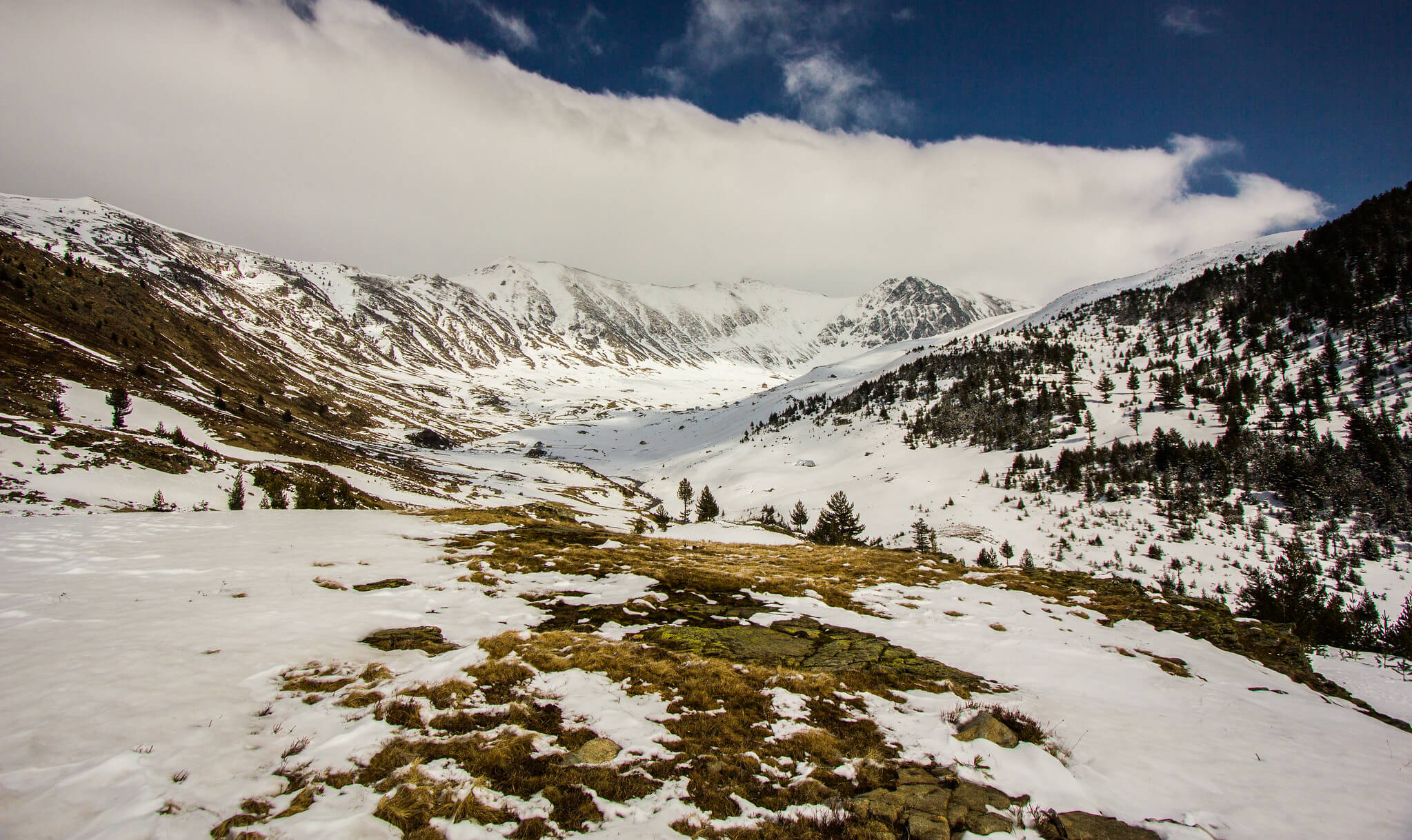
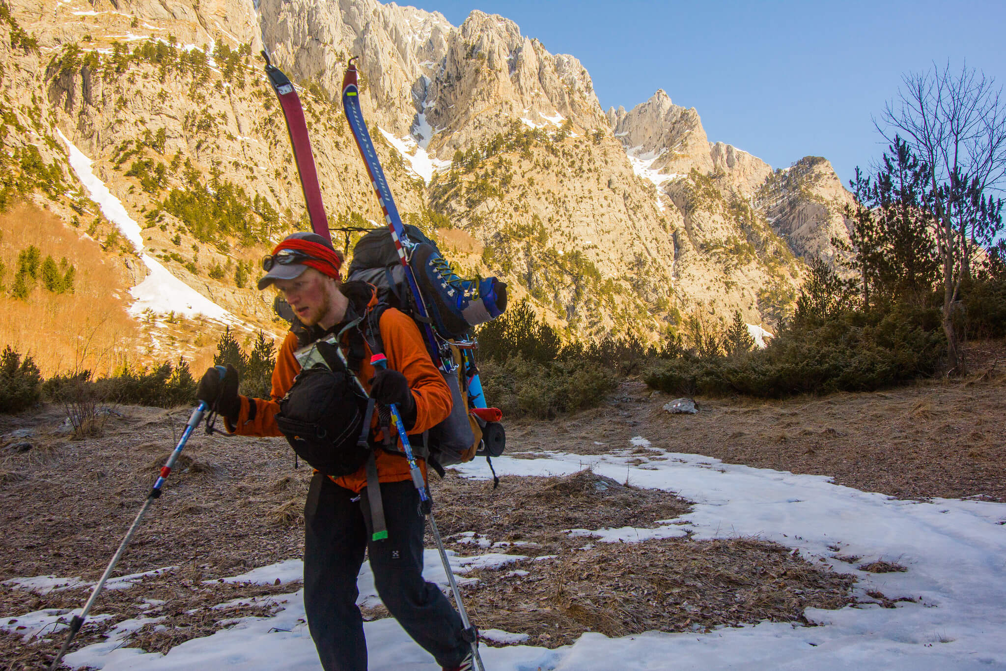
The Dinaric Alps run from Italy down to Albania, forming a rugged barrier between the Adriatic Sea and the Balkan interior. The range is rich in history: Roman-era fortress ruins, hundreds of thousands of dome-shaped bunkers built under Enver Hoxha (1960s–80s), and remnants of the Yugoslav and Kosovo Wars still mark the landscape. Threading through Kosovo, Montenegro, and Albania is the 192-kilometre-long Peaks of the Balkans trail. The photos here come from a 120km, 11-day solo ski-touring journey along the route. You can find more summer images and a trail description with GPS points on the official Peaks of the Balkans website. If you’re heading there in winter, bring an ice axe and crampons for a couple of steeper passes; a hard-wearing dry bag works well as a towable makeshift sled, and a snow shovel is invaluable for digging camps each night.
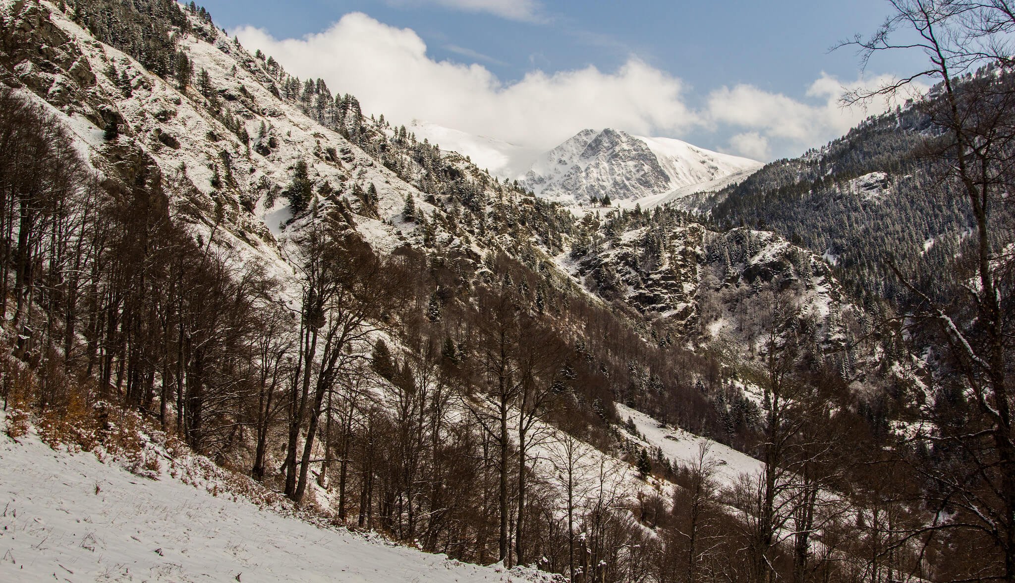
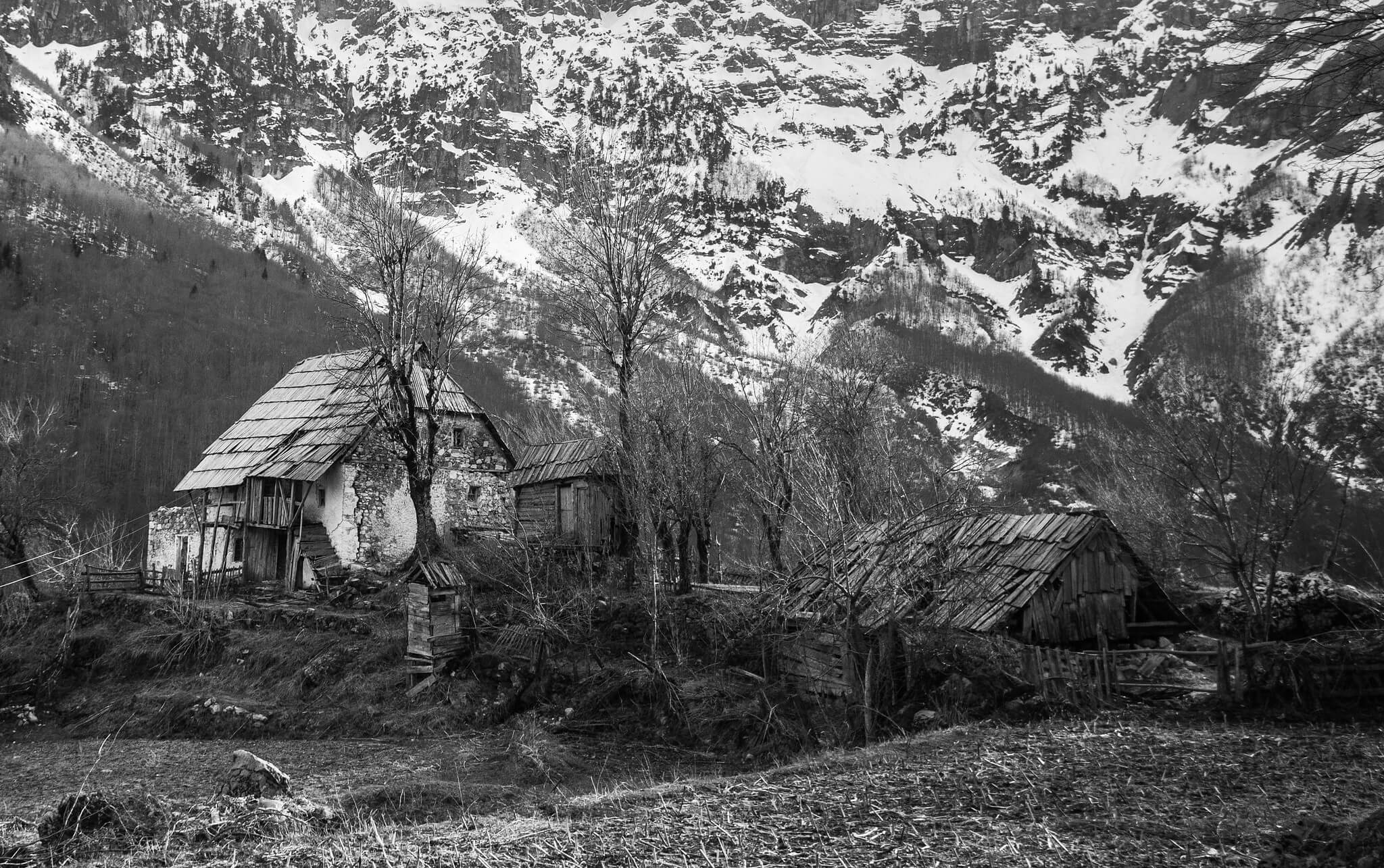
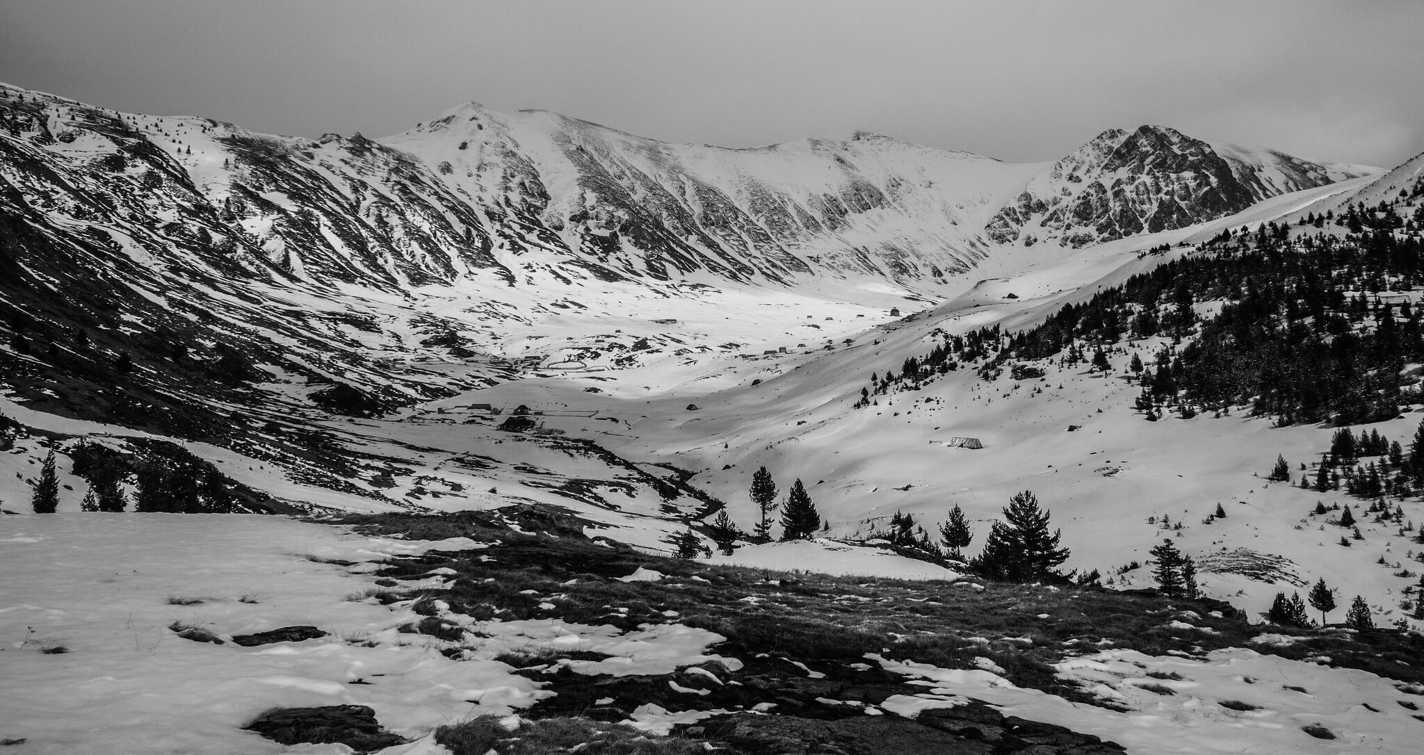
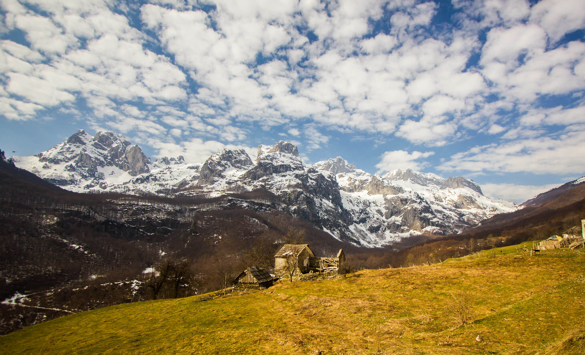
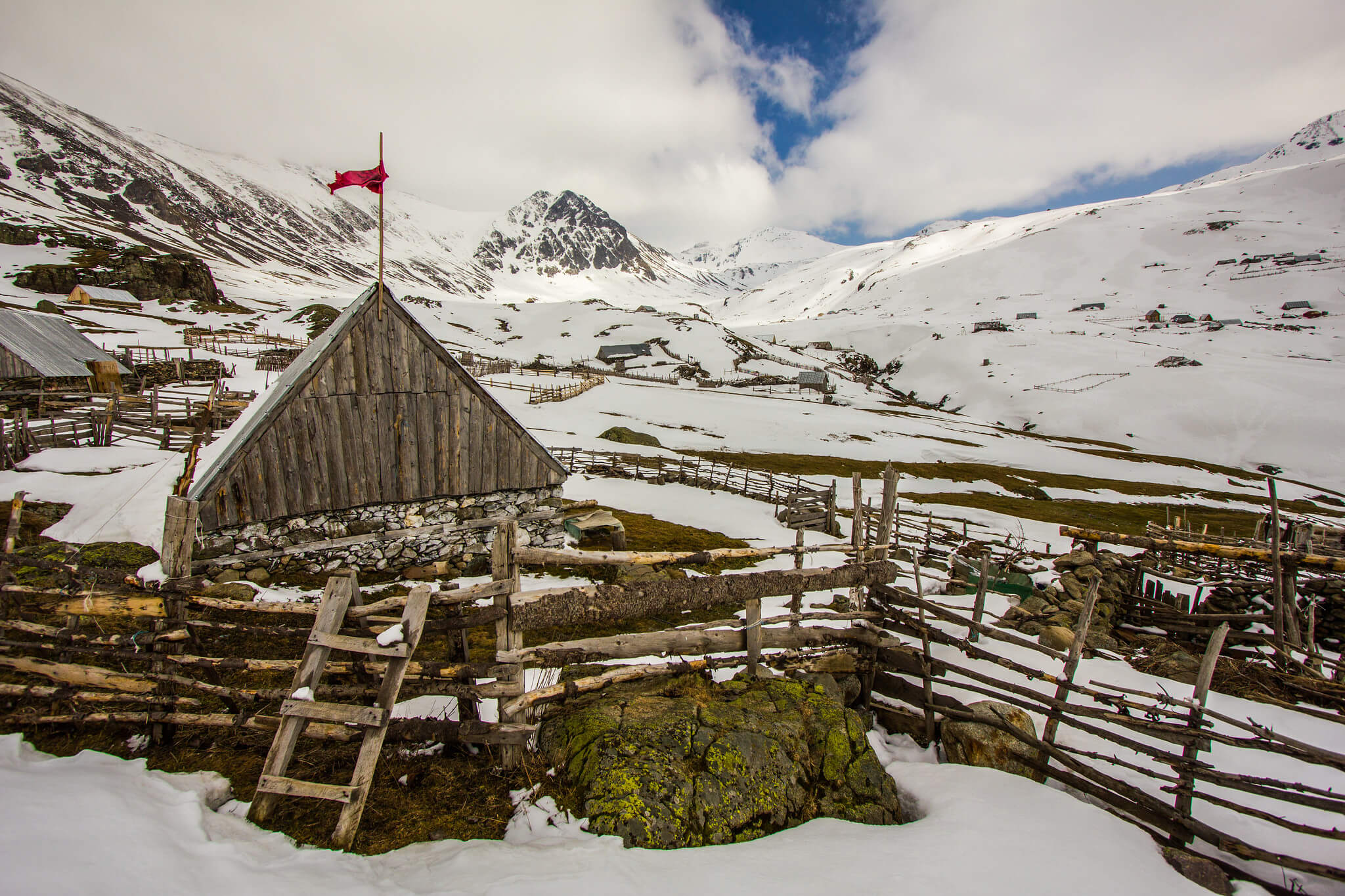
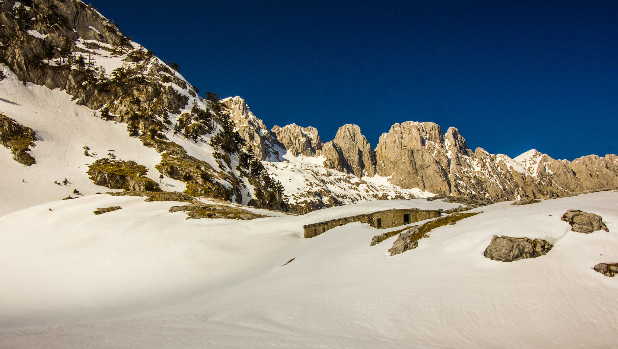
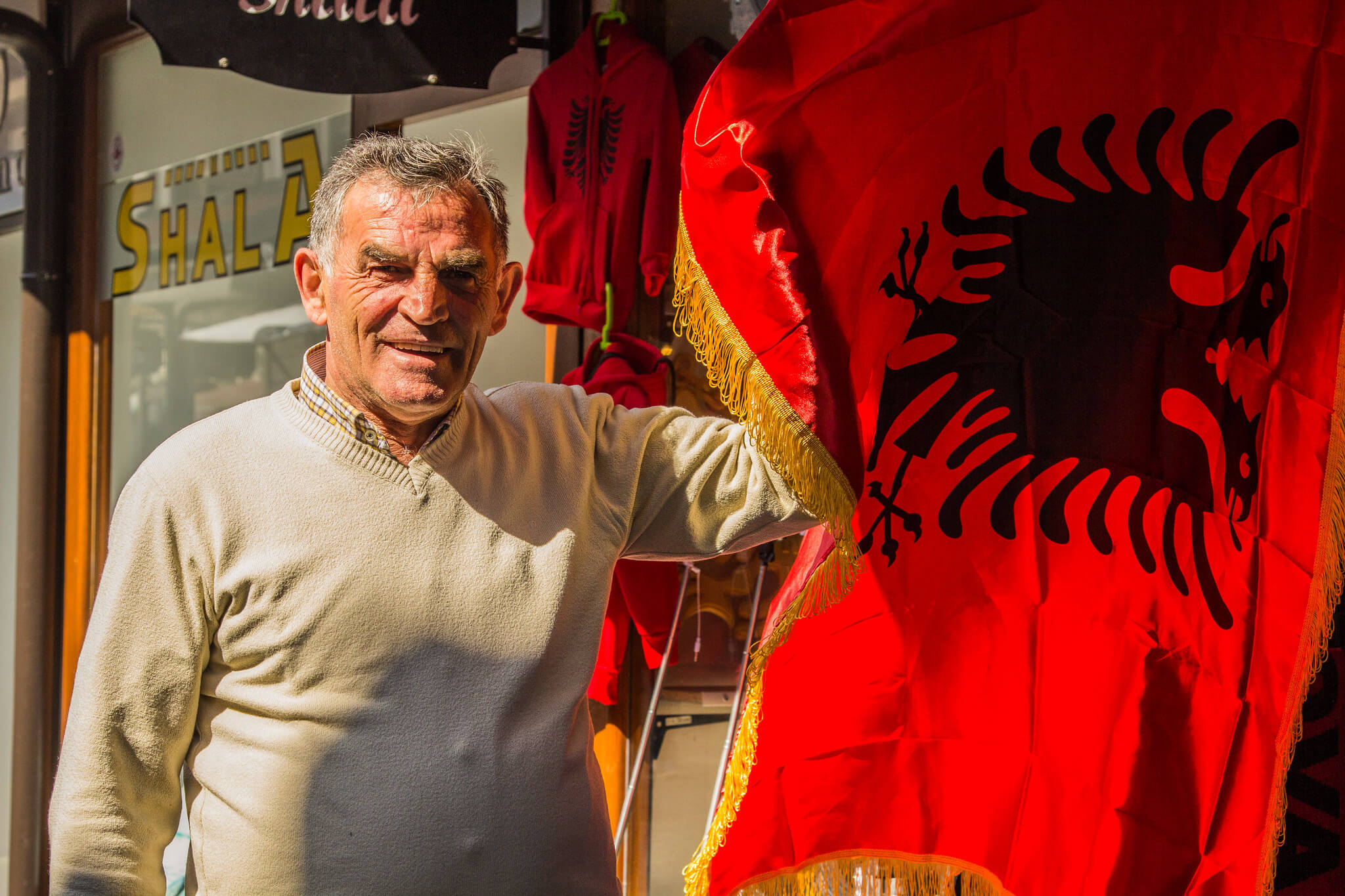
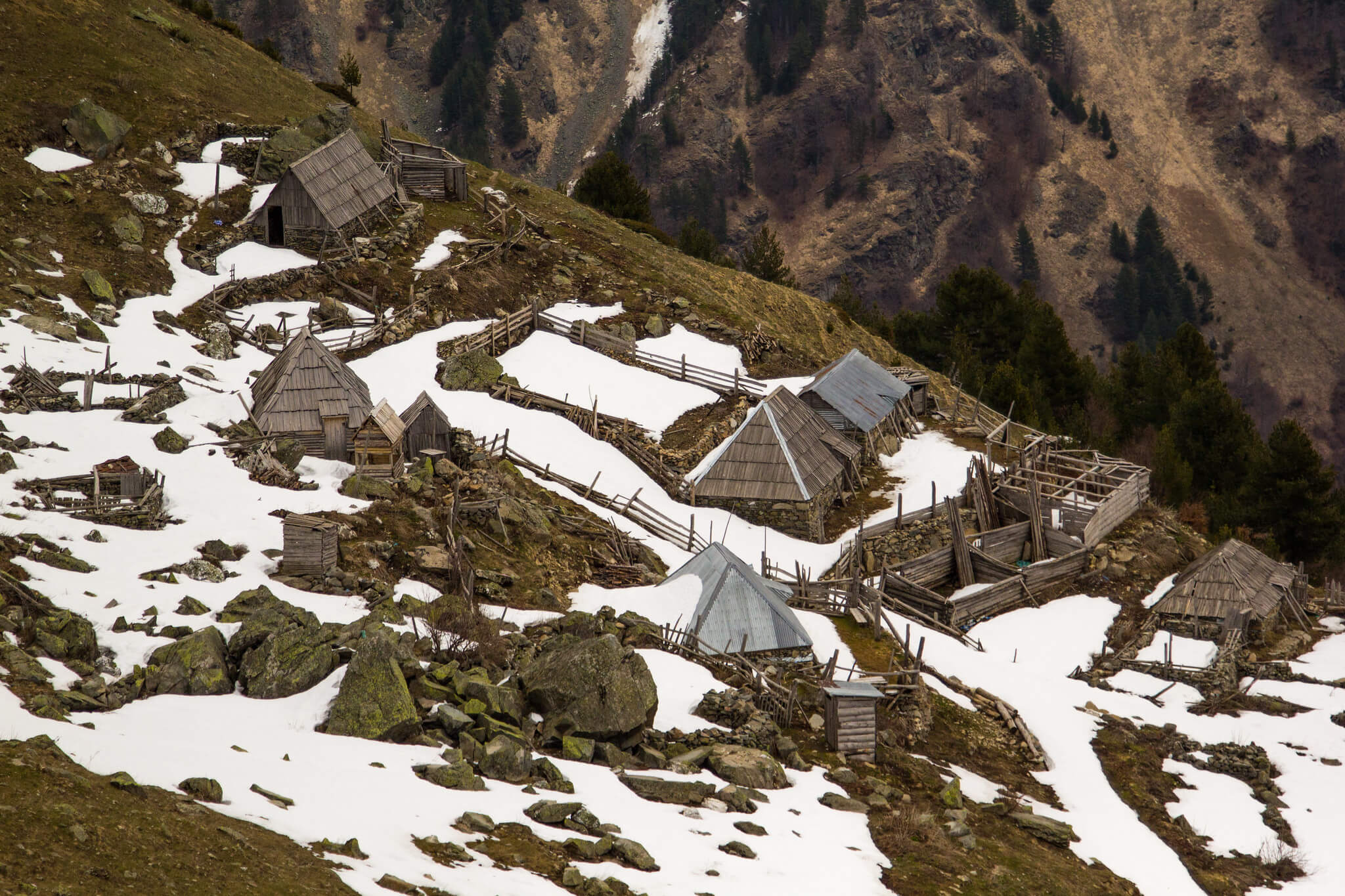
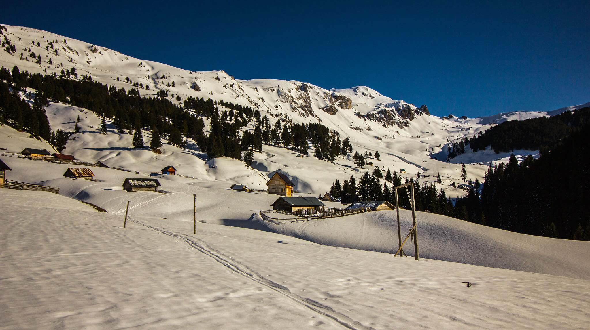
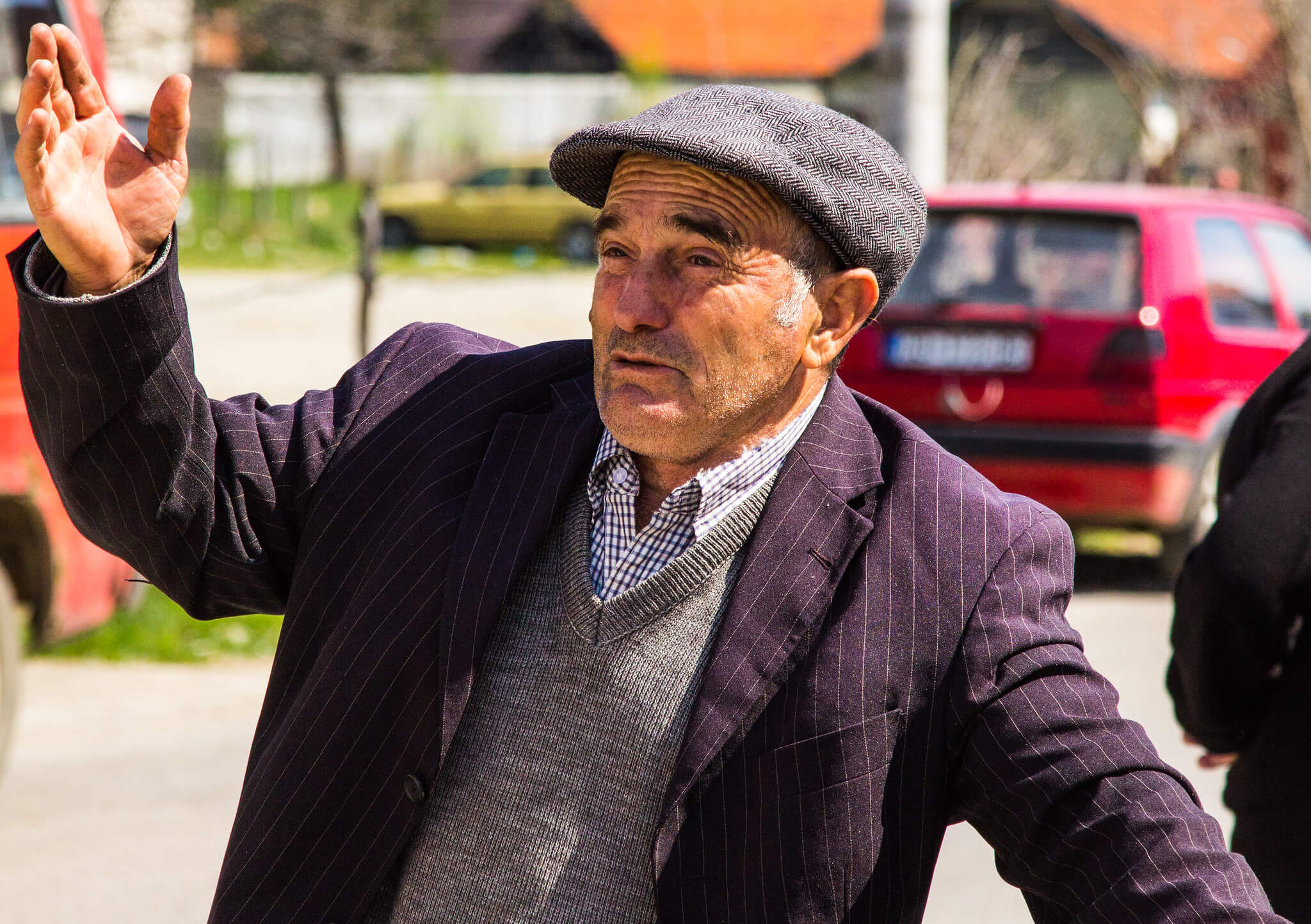
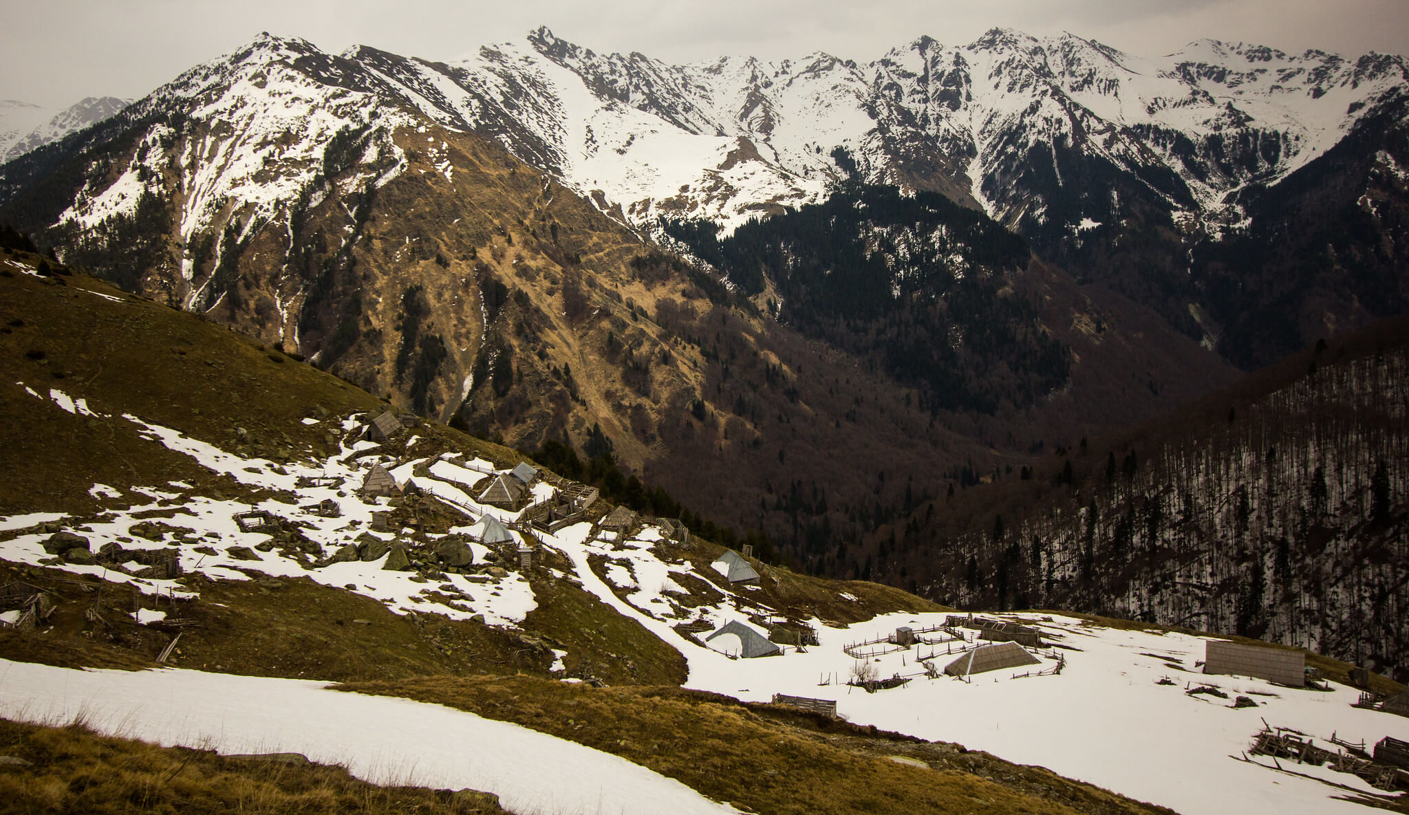
The core of the Dinaric Alps spans eastern Montenegro, south-western Kosovo, and northern Albania, a sub-range often called the Accursed Mountains. Local folklore says the devil built the peaks in a single day after being released from hell. Long one of south-east Europe’s least-known areas, it has grown in popularity since the trail was established. In summer, accommodation includes kullas (traditional stone houses), shepherd and mountain huts, and small lodges; in winter many are closed, so be prepared to camp in the forests.
For questions about the trail or to license any of these images, email info@matthewtraver.com.